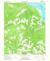
1965 Map of Toano
USGS Topo · Published 1966About this map
The York River shoreline and the low-lying interior of the Virginia Peninsula are defined by an intricate network of wetlands in the mid-1960s, including Cow Swamp, France Swamp, and Richardson Swamp. This landscape is primarily agricultural and wooded, with the rail-oriented settlements of Toano and Norge situated along the Chesapeake and Ohio Railroad corridor. The map captures a moment when infrastructure such as the James City Lookout Tower and State Prison Camp No 16 were active landmarks in the community. Local spiritual life is well-documented through several historic congregations, including Mt Nebo Ch, Tabernacle Ch, and Hickory Neck Ch. To the west, the Diascund Creek Reservoir stands as a significant hydrological feature, while the northeastern corner shows the maritime influence of the river near Terrapin Point and the Bell Rock Lighthouse.
Find a feature on this map
47 named features on this map. Tap any name to fly to it.
Don’t see what you’re looking for? This feature index may not catch every label — zoom into the map to look around manually.
Map Details
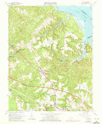
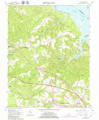
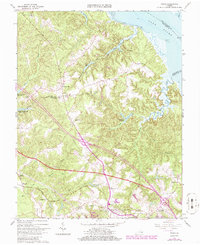
Editions of this 1965 Toano Map
4 editions found
Other maps of this area

1906 · Williamsburg
USGS Topo · 1:62,500

1917 · Urbanna
USGS Topo · 1:62,500

1917 · Toano
USGS Topo · 1:62,500

1918 · Toano
USGS Topo · 1:62,500

1919 · New Kent
USGS Topo · 1:62,500

1943 · Richmond
USGS Topo · 1:250,000

1949 · Shacklefords
USGS Topo · 1:24,000

1949 · New Kent
USGS Topo · 1:24,000

1949 · Richmond
USGS Topo · 1:250,000

1950 · West Point
USGS Topo · 1:24,000