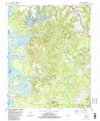
1984 Map of Norge
USGS Topo · Published 1989About this map
Green Spring Ruins within the Colonial National Historical Park anchors the southern portion of this James City County landscape, where the colonial past meets the mid-1980s expansion of the Virginia Peninsula. The terrain is defined by the intricate finger-like inlets of the Chickahominy River, including Gordon Creek and Yarmouth Creek, which create a series of isolated necks and islands such as Uncles Neck and Yarmouth Island. The rail corridor of the Chesapeake and Ohio facilitates a string of settlements from Norge down to Lightfoot, marking the transition from traditional rural landings like Claybank Landing to emerging residential areas like Windsor Forest. Numerous historic religious sites, such as the James City Chapel and Chickahominy Ch, are documented alongside industrial features like the Substation and various claypits, illustrating the area's mix of heritage preservation and modern utility.
Find a feature on this map
65 named features on this map. Tap any name to fly to it.
Don’t see what you’re looking for? This feature index may not catch every label — zoom into the map to look around manually.
Map Details
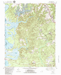
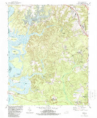
Editions of this 1984 Norge Map
3 editions found
Other maps of this area

1906 · Williamsburg
USGS Topo · 1:62,500

1907 · Yorktown
USGS Topo · 1:62,500

1917 · Toano
USGS Topo · 1:62,500

1918 · Toano
USGS Topo · 1:62,500

1919 · Surry
USGS Topo · 1:62,500

1943 · Yorktown
USGS Topo · 1:62,500

1943 · Richmond
USGS Topo · 1:250,000

1949 · Richmond
USGS Topo · 1:250,000

1950 · Cobham Bay
USGS Topo · 1:24,000
1951 · Williamsburg
USGS Topo · 1:24,000