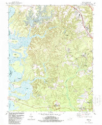
1984 Map of Norge
USGS Topo · Published 1989About this map
Green Spring Ruins anchor the southern edge of this landscape, marking a site of deep historical significance within the Colonial National Historical Park. This 1980s-era geography of James City County reflects a region balancing its colonial heritage with modern infrastructure. The Chesapeake and Ohio railroad corridor serves the northern settlements of Norge and Lightfoot, while the western boundary is defined by the complex aquatic network of the Chickahominy River and Yarmouth River, which weave around Wright Island and Simpson Island.
Find a feature on this map
65 named features on this map. Tap any name to fly to it.
Don’t see what you’re looking for? This feature index may not catch every label — zoom into the map to look around manually.
Map Details
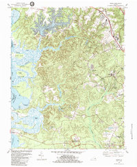
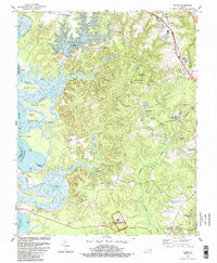
Editions of this 1984 Norge Map
3 editions found
Other maps of this area

1906 · Williamsburg
USGS Topo · 1:62,500

1907 · Yorktown
USGS Topo · 1:62,500

1917 · Toano
USGS Topo · 1:62,500

1918 · Toano
USGS Topo · 1:62,500

1919 · Surry
USGS Topo · 1:62,500

1943 · Yorktown
USGS Topo · 1:62,500

1943 · Richmond
USGS Topo · 1:250,000

1949 · Richmond
USGS Topo · 1:250,000

1950 · Cobham Bay
USGS Topo · 1:24,000
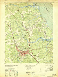
1951 · Williamsburg
USGS Topo · 1:24,000