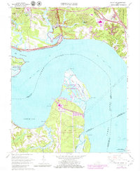
1965 Map of Hog Island
USGS Topo · Published 1980About this map
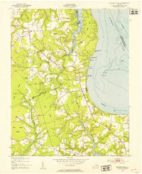
Jamestown Island and the Colonial National Historical Park anchor this coastal landscape where the James River widens toward Cobham Bay. The map documents a significant intersection of 18th-century heritage and 20th-century industry, from the Carters Grove Historical Home to the modern presence of the Surry Nuclear Powerplant on Gravel Neck. The shoreline is characterized by complex tidal networks, including Passmore Creek and Chippokes Creek, which define the borders of Chippokes State Park.
Find a feature on this map
72 named features on this map. Tap any name to fly to it.
Don’t see what you’re looking for? This feature index may not catch every label — zoom into the map to look around manually.
Map Details
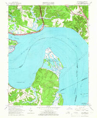
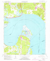
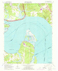
Editions of this 1965 Hog Island Map
4 editions found
Other maps of this area

1906 · Williamsburg
USGS Topo · 1:62,500

1907 · Yorktown
USGS Topo · 1:62,500

1917 · Toano
USGS Topo · 1:62,500

1918 · Toano
USGS Topo · 1:62,500

1919 · Surry
USGS Topo · 1:62,500

1943 · Yorktown
USGS Topo · 1:62,500

1943 · Richmond
USGS Topo · 1:250,000

1944 · Yorktown
USGS Topo · 1:24,000
1948 · Bacons Castle
USGS Topo · 1:24,000

1949 · Richmond
USGS Topo · 1:250,000