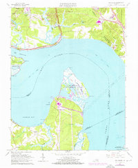
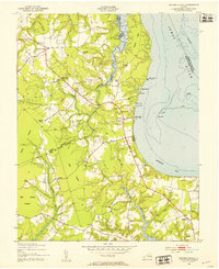
1965 Map of Hog Island
USGS Topo · Published 1972About this map
Hog Island and the broad expanse of the James River dominate this mid-century topographic record of the Virginia Peninsula. The landscape reflects a intersection of early American colonial history and Cold War military presence, with the Colonial National Historical Parkway winding near the Carters Grove Historical Home and the historic Jamestown Island. Across the river, the Hog Island State Waterfowl Refuge sits on the marshy reaches of Gravel Neck, while substantial military installations like Camp Wallace Military Res and the U S Naval Weapons Station occupy the northern shore.
Find a feature on this map
63 named features on this map. Tap any name to fly to it.
Don’t see what you’re looking for? This feature index may not catch every label — zoom into the map to look around manually.
Map Details
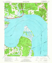
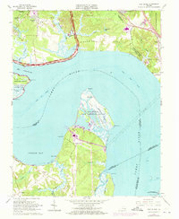
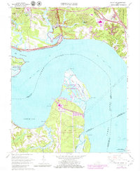
Editions of this 1965 Hog Island Map
4 editions found
Other maps of this area

1906 · Williamsburg
USGS Topo · 1:62,500

1907 · Yorktown
USGS Topo · 1:62,500

1917 · Toano
USGS Topo · 1:62,500

1918 · Toano
USGS Topo · 1:62,500

1919 · Surry
USGS Topo · 1:62,500

1943 · Yorktown
USGS Topo · 1:62,500

1943 · Richmond
USGS Topo · 1:250,000

1944 · Yorktown
USGS Topo · 1:24,000
1948 · Bacons Castle
USGS Topo · 1:24,000

1949 · Richmond
USGS Topo · 1:250,000