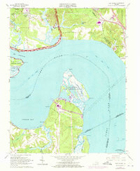
1965 Map of Hog Island
USGS Topo · Published 1973About this map
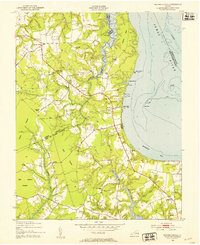
Hog Island and its surrounding wetlands dominate this coastal reach of the James River, where the Hog Island State Waterfowl Refuge occupies the marshy interior. To the north, the Kingsmill Neck and Grove areas reveal a mix of residential growth and military footprints, including the Camp Wallace Military Res and a portion of the U S Naval Weapons Station. The landscape is a complex network of tidal creeks like College Creek and Lawnes Creek, which served as vital natural boundaries and transport corridors before modern development.
Find a feature on this map
63 named features on this map. Tap any name to fly to it.
Don’t see what you’re looking for? This feature index may not catch every label — zoom into the map to look around manually.
Map Details
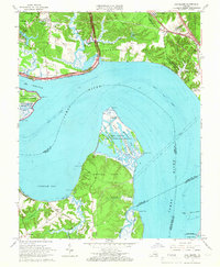
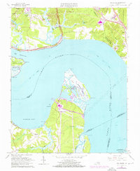
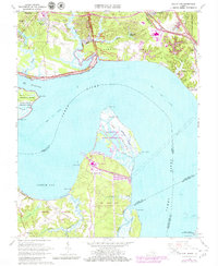
Editions of this 1965 Hog Island Map
4 editions found
Other maps of this area

1906 · Williamsburg
USGS Topo · 1:62,500

1907 · Yorktown
USGS Topo · 1:62,500

1917 · Toano
USGS Topo · 1:62,500

1918 · Toano
USGS Topo · 1:62,500

1919 · Surry
USGS Topo · 1:62,500

1943 · Yorktown
USGS Topo · 1:62,500

1943 · Richmond
USGS Topo · 1:250,000

1944 · Yorktown
USGS Topo · 1:24,000
1948 · Bacons Castle
USGS Topo · 1:24,000

1949 · Richmond
USGS Topo · 1:250,000