Old Maps of Aylett Mill, Virginia for Hiking & Exploration
Hike through history with 15 historic maps of Aylett Mill. Explore old trails, ghost towns, and forgotten backroads — perfect for outdoor adventurers and local explorers.
- Rediscover forgotten places: Map out old mining camps, roads, and footpaths that no longer exist on modern maps.
- Layer with modern tools: Combine with LiDAR or satellite views to plan hikes through historical terrain.
- Made for exploration: Popular among hikers, overlanders, and local history lovers.
Use these maps to find adventure and explore the hidden past of Aylett Mill.
Aylett Mill, VA maps
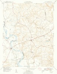
(15)- 1918 Map of Aylett
 1918 Aylett1918 Print · USGSThe rural landscapes of King and Queen and King William counties are captured here at the end of the Great War. Researchers can trace ancestral connections through old mill sites and churches like Aylett Mill, St Stephens Church, and Shiloh Church.
 - 1933 Map of Aylett
 1933 Aylett1933 Print · USGSCoastal Plain Virginia during the 1930s shows a landscape of river-based commerce and tight-knit farming communities. Genealogists and historians can trace family locations near Aylett, locate the Millfork School, or find old mills like Dublin Mill.2 unique versions available
 - 1943 Map of Richmond, 1972 Print
 1943 Richmond1972 Print · USGSCoastal Virginia and the state capital are shown in detail during the mid-century era of infrastructure expansion. Genealogists and historians can trace the grounds of Richmond Nat Battlefield Park, locate the Yorktown Nat Cem, or follow the many rural routes through Amelia Court House and Tappahannock.
 - 1949 Map of Aylett
 1949 Aylett1949 Print · USGSCoastal Virginia during the late 1940s reveals a quiet riverine landscape where the Mattaponi River dictates the rhythm of local life. Genealogists and historians can locate old riverfront sites like Old Hall Landing, local schools like Green Briar Sch, and the historic Aylett Mill.2 unique versions available
 - 1949 Map of Richmond, 1951 Print
 1949 Richmond1951 Print · USGSCoastal Virginia in the years following World War II remained a landscape of historic river towns and expanding military bases. Genealogists and historians can trace the rail lines of the Southern Ry and locate established landmarks from Camp Lee to the remote reaches of Dragon Swamp.
 - 1959 Map of Richmond
 1959 Richmond1959 Print · USGSMid-century Virginia is captured here at its most vital rail and river junctions, from the capital city to the Chesapeake Bay. Genealogists and historians can trace the development of colonial settlements like Williamsburg and military landmarks including Fort Monroe and Camp Lee.
 - 1964 Map of Richmond
 1964 Richmond1964 Print · USGSCoastal and central Virginia are mapped during the mid-twentieth century, showing the critical intersection of rail, river, and military life. Genealogists can trace family roots through rural county seats like Amelia or find vanished coastal neighborhoods near Phoebus and Hilton Village.
 - 1968 Map of Aylett, 1972 Print
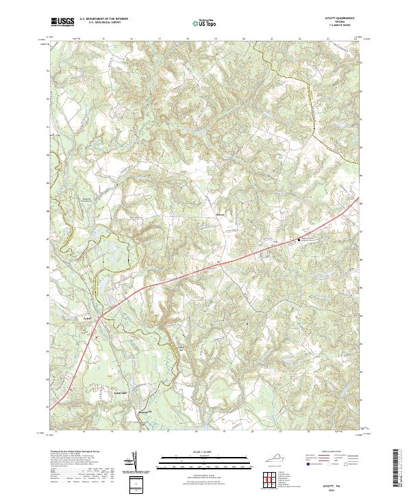
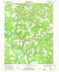 1968 Aylett1972 Print · USGSThe Mattaponi River valley in the late sixties reveals a landscape of tidal landings and crossroads hamlets straddling King William and King and Queen counties. Genealogists can trace historic community centers like St Stephens Church, Aylett Mill, and the riverside Poplar Landing.3 unique versions available
 - 1973 Map of Richmond, 1974 Print
 1973 Richmond1974 Print · USGSThe Virginia Tidewater and Piedmont come alive in the early seventies, showcasing a region defined by its great rivers and massive military installations. Researchers can trace the mid-century growth of Richmond or locate family sites near Amelia Court House and Highland Springs.2 unique versions available
 - 1984 Map of Richmond, 1986 Print
 1984 Richmond1986 Print · USGSCentral Virginia during the mid-eighties shows a landscape of rapid suburban expansion centered on the state capital and its historic riverfront. Genealogists and historians can trace institutional sites like Randolph-Macon College, the grounds of Fort Lee, and small community landmarks like Hebron Ch.3 unique versions available
 - 2010 Map of Aylett, 2010 Print
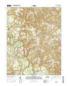
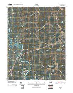 2010 Aylett2010 Print · USGSCovers Aylett Mill, including Biscoe, Saint Stephens Church, and other nearby areas
 - 2013 Map of Aylett, 2013 Print
 2013 Aylett2013 Print · USGSCovers Aylett Mill, including Biscoe, Saint Stephens Church, and other nearby areas
 - 2016 Map of Aylett, 2016 Print
 2016 Aylett2016 Print · USGSCovers Aylett Mill, including Biscoe, Saint Stephens Church, and other nearby areas
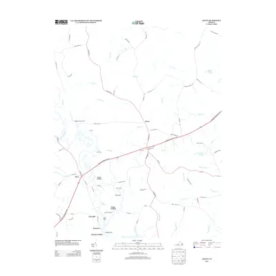
 - 2019 Map of Aylett, 2019 Print
 2019 Aylett2019 Print · USGSCovers Aylett Mill, including Biscoe, Saint Stephens Church, and other nearby areas
 - 2022 Map of Aylett, 2022 Print
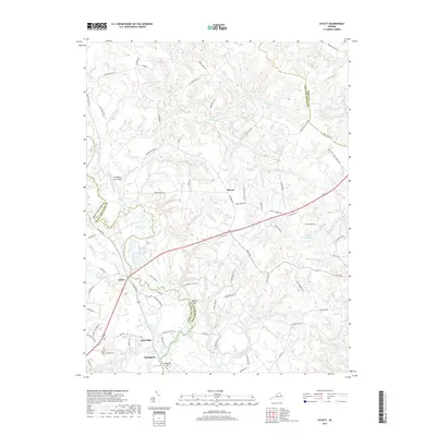
 2022 Aylett2022 Print · USGSThe Mattaponi River corridor comes into sharp focus during the early twenty-first century, showing the enduring rural character of King and Queen County. Genealogists and local historians can locate Aylett Mill, the Shepherd's United Methodist Church Cem, and river landmarks like Walker Bar.
End of results
Showing maps 1-15 of 15
Top cities near Aylett Mill
Frequently asked questions
- What are the different types of historical maps available for Aylett Mill?
- What is the oldest map of Aylett Mill?
- Where can I purchase historical maps of Aylett Mill for my home or office?
- Where can I download high-res historical maps of Aylett Mill?
- Are there historical topographic maps available for Aylett Mill?
- Is there historical aerial imagery available for Aylett Mill?
- Where are historical maps of Aylett Mill sourced from?