2000s (21st Century) Maps of Kenbridge, Virginia
Explore 10 historic maps of Kenbridge from the 2000s (21st Century). These maps offer a rare glimpse into what life looked like during the 2000s — showing old roads, neighborhoods, homes, and landmarks that have changed or disappeared over time.
Whether you're researching your family's past, planning a metal detecting trip, or studying how Kenbridge's landscape evolved across the 2000s, these high-resolution maps are a powerful tool for exploring the history of this region.
- Focus on a specific era: All maps on this page are from the 2000s, giving you a focused view of this time period.
- See what’s changed: Compare century-old streets, trails, and buildings to today's modern landscape using overlays and satellite layers.
- Research with precision: Use these maps for genealogy, historical research, land use analysis, or educational projects.
- View, download, or print: Maps are fully viewable online in high resolution, and can be downloaded or printed for your own records.
Start exploring Kenbridge's history through authentic maps from the 2000s. This is your window into the past.
Kenbridge, VA maps
(10)- 2010 Map of Kenbridge East, 2010 Print
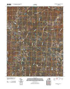 2010 Kenbridge East2010 Print · USGSCovers Kenbridge, including Bishops Corner, Dundas, and other nearby areas
 - 2010 Map of Kenbridge West, 2010 Print
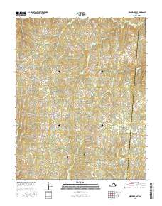
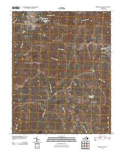 2010 Kenbridge West2010 Print · USGSCovers Kenbridge, including Victoria, Sneads Corner, and other nearby areas
 - 2013 Map of Kenbridge East, 2013 Print
 2013 Kenbridge East2013 Print · USGSCovers Kenbridge, including Bishops Corner, Dundas, and other nearby areas
 - 2013 Map of Kenbridge West, 2013 Print
 2013 Kenbridge West2013 Print · USGSCovers Kenbridge, including Victoria, Sneads Corner, and other nearby areas
 - 2016 Map of Kenbridge East, 2016 Print
 2016 Kenbridge East2016 Print · USGSCovers Kenbridge, including Bishops Corner, Dundas, and other nearby areas
 - 2016 Map of Kenbridge West, 2016 Print
 2016 Kenbridge West2016 Print · USGSCovers Kenbridge, including Victoria, Sneads Corner, and other nearby areas
 - 2019 Map of Kenbridge East, 2019 Print
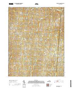 2019 Kenbridge East2019 Print · USGSCovers Kenbridge, including Bishops Corner, Dundas, and other nearby areas
 - 2019 Map of Kenbridge West, 2019 Print
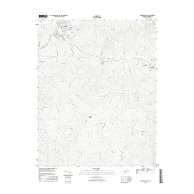
 2019 Kenbridge West2019 Print · USGSCovers Kenbridge, including Victoria, Sneads Corner, and other nearby areas
 - 2022 Map of Kenbridge East, 2022 Print
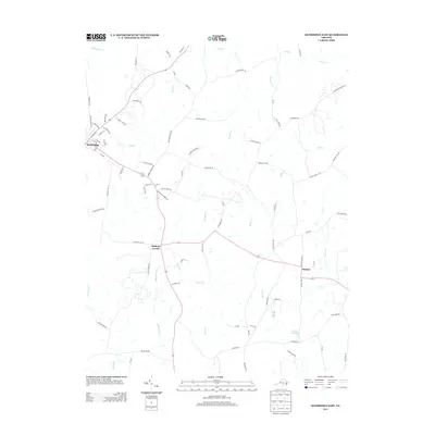
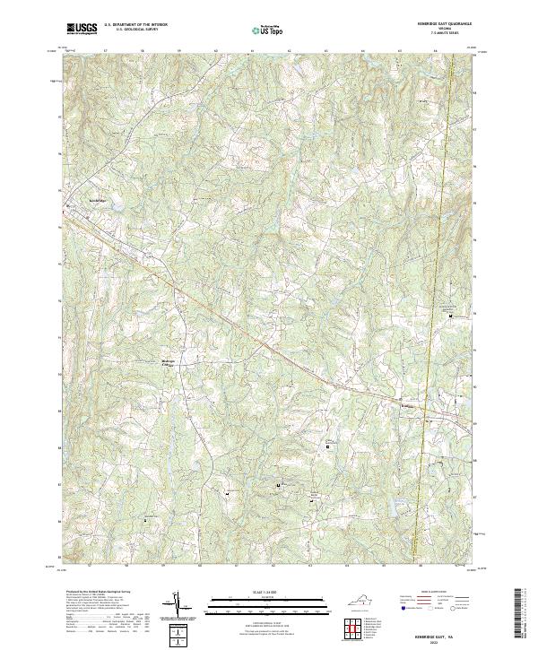 2022 Kenbridge East2022 Print · USGSLunenburg County in the twenty-first century maintains its quiet rural character and deep agricultural roots. Genealogists and historians can trace old homesteads and family sites like the Wilkinson Cem, Manson Cem, and the settlement at Dundas.
 - 2022 Map of Kenbridge West, 2022 Print
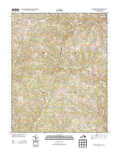
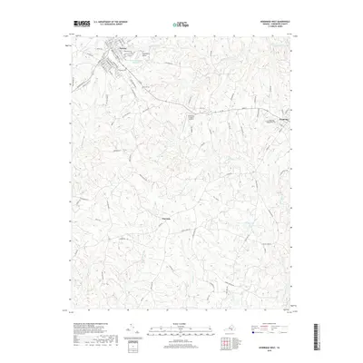
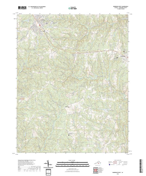 2022 Kenbridge West2022 Print · USGSLunenburg County's rural character is preserved in this contemporary survey of the area between Victoria and Kenbridge. Genealogists and historians can locate several local burial sites like Oakwood Cem and Unity Baptist Church Cem, or trace the winding course of Flat Rock Cr.
End of results
Showing maps 1-10 of 10
Top cities near Kenbridge
- South Hill historical maps
- Blackstone historical maps
- Crewe historical maps
- Victoria historical maps
- Burkeville historical maps
- Alberta historical maps
See more
Frequently asked questions
- What are the different types of historical maps available for Kenbridge?
- What is the oldest map of Kenbridge?
- Where can I purchase historical maps of Kenbridge for my home or office?
- Where can I download high-res historical maps of Kenbridge?
- Are there historical topographic maps available for Kenbridge?
- Is there historical aerial imagery available for Kenbridge?
- Where are historical maps of Kenbridge sourced from?