2010s Maps of Tyreeanna, Virginia
Explore 16 historic maps of Tyreeanna from the 2010s. These maps offer a rare glimpse into what life looked like during the 2010s — showing old roads, neighborhoods, homes, and landmarks that have changed or disappeared over time.
Whether you're researching your family's past, planning a metal detecting trip, or studying how Tyreeanna's landscape evolved across the 2010s, these high-resolution maps are a powerful tool for exploring the history of this region.
- Focus on a specific era: All maps on this page are from the 2010s, giving you a focused view of this time period.
- See what’s changed: Compare century-old streets, trails, and buildings to today's modern landscape using overlays and satellite layers.
- Research with precision: Use these maps for genealogy, historical research, land use analysis, or educational projects.
- View, download, or print: Maps are fully viewable online in high resolution, and can be downloaded or printed for your own records.
Start exploring Tyreeanna's history through authentic maps from the 2010s. This is your window into the past.
Tyreeanna, VA maps
(16)- 2010 Map of Kelly, 2010 Print
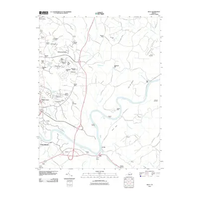 2010 Kelly2010 Print · USGSThe James River corridor in Amherst County appears here in the early twenty-first century, showing the intersection of industrial heritage and modern growth. Genealogists can trace family sites at Megginson Cemetery or locate historic landmarks like Oxford Furnace and Galts Mill.
 - 2010 Map of City Farm, 2010 Print
 2010 City Farm2010 Print · USGSThe suburbs of Lynchburg and Campbell County are captured here during a period of significant institutional and residential growth. Genealogists and local historians can trace legacy family plots at Beulah Cemetery and Merryman Cemetery or locate landmarks like Brush Tavern.
 - 2010 Map of Rustburg, 2010 Print
 2010 Rustburg2010 Print · USGSRustburg and its surrounding Campbell County countryside appear here in the early twenty-first century as a landscape of family legacies and rolling ridges. Researchers can locate numerous historic burial grounds like Falwell Cemetery and Perrow Cemetery or trace the drainage of Beaver Creek.
 - 2011 Map of Lynchburg, 2011 Print
 2011 Lynchburg2011 Print · USGSLynchburg and the James River corridor are shown here in the early twenty-first century, revealing a city shaped by its historic hills and river power. Genealogists and local historians can trace landmarks like Old City Cemetery, the Jefferson Street Tunnel, and Court House Hill.
 - 2013 Map of City Farm, 2013 Print
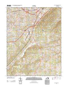 2013 City Farm2013 Print · USGSCampbell County’s suburban expansion and rural heritage are captured here in the early twenty-first century. Genealogists and local historians can trace the development of established communities like Brookville and City Farm or locate landmarks such as Brush Tavern and the Lynchburg Regional Airport.
 - 2013 Map of Kelly, 2013 Print
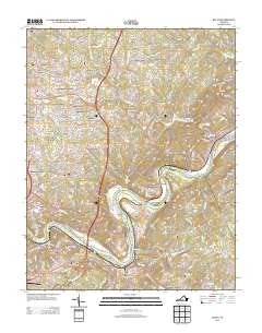 2013 Kelly2013 Print · USGSMadison Heights and the surrounding Amherst County hills are documented here in the early twenty-first century as suburban growth meets river history. Trace the landscape from the James River banks at Oxford Furnace to landmarks like Joshua Falls and Mount Athos.
 - 2013 Map of Lynchburg, 2013 Print
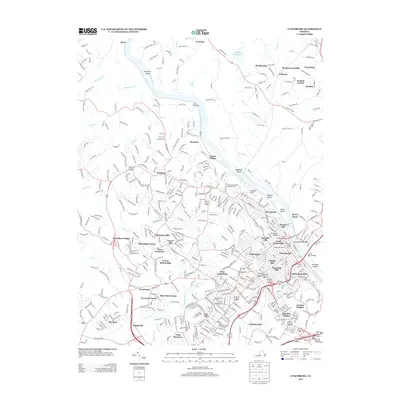 2013 Lynchburg2013 Print · USGSLynchburg and its surrounding hills are captured here in the early twenty-first century, showcasing a city defined by its riverfront and historic heights. Genealogists and local historians can trace the development of legacy neighborhoods like Diamond Hill or locate landmarks such as Monument Terrace and the Jefferson Street Tunnel.
 - 2013 Map of Rustburg, 2013 Print
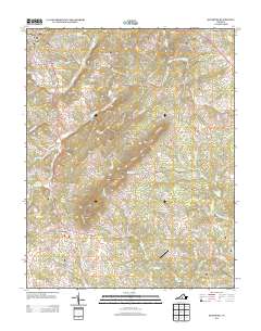 2013 Rustburg2013 Print · USGSRustburg and its Piedmont surroundings are captured here in the early twenty-first century as the landscape balanced suburban growth with its rural roots. Researchers can trace local landmarks like Breezy Knoll Airport, the slopes of Long Mountain, and the waters of Mead Lake.
 - 2016 Map of Rustburg, 2016 Print
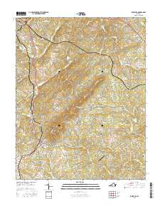 2016 Rustburg2016 Print · USGSRustburg and its surrounding ridges come into focus in the mid-2010s, showing a landscape defined by small family cemeteries and rising mountain terrain. Genealogists and local historians can trace family-named sites like Drinkard Cem, Silver Grove Cem, and the high peak of Long Mtn.
 - 2016 Map of City Farm, 2016 Print
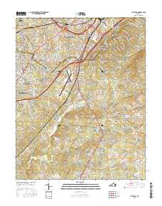 2016 City Farm2016 Print · USGSLynchburg and its Campbell County environs are captured during a period of modern expansion and deep-rooted history. Researchers can trace family sites at Beulah Cem and Prebble Cem or locate the old Brush Tavern and City Farm settlements.
 - 2016 Map of Lynchburg, 2016 Print
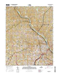 2016 Lynchburg2016 Print · USGSLynchburg and its surrounding heights are documented here in the mid-2010s as the urban landscape reaches out toward the Blue Ridge. Researchers can trace deep local history through landmarks like Old City Cem, Randolph Coll, and the Lynchburg Boulder.
 - 2016 Map of Kelly, 2016 Print
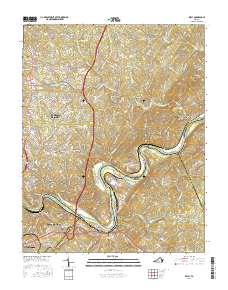 2016 Kelly2016 Print · USGSThe James River corridor near Madison Heights comes into focus in the mid-2010s, showcasing the intersection of industrial heritage and modern growth. Genealogists and historians can trace numerous family burial sites like Feagans Cemetery or locate historic landmarks such as Brightwell Mill and the Oxford Furnace site.
 - 2019 Map of Kelly, 2019 Print
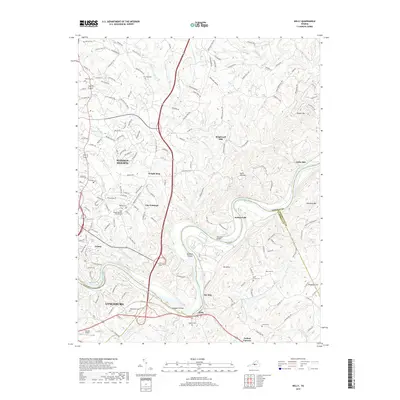 2019 Kelly2019 Print · USGSThe James River valley near Lynchburg and Madison Heights was a center of early industry and transport during the twentieth century. Researchers can trace historic mill sites like Brightwell Mill, several family cemeteries such as Megginson Cem, and the landmark Oxford Furnace.
 - 2019 Map of Lynchburg, 2019 Print
 2019 Lynchburg2019 Print · USGSLynchburg and the James River corridor are captured here in the modern era, showing the city's dense network of historic neighborhoods and academic institutions. Researchers can trace the legacy of local families through Spring Hill Cemetery and Old City Cemetery, or locate landmarks like the Lynchburg Courthouse.
 - 2019 Map of City Farm, 2019 Print
 2019 City Farm2019 Print · USGSSouthern Campbell County is captured here in the late 2010s as the suburbs of Lynchburg reach toward the foothills. Researchers can trace local history through family cemeteries like Gilliam and Dodson or locate landmarks like Brush Tavern and Hillsman Corner.
 - 2019 Map of Rustburg, 2019 Print
 2019 Rustburg2019 Print · USGSThe community of Rustburg is captured here during the late 2010s, showing the intersection of local government and rural Virginia life. Genealogists and researchers can trace family landmarks like Silver Grove Cem and Tweedy Cem or the legacy of the Campbell County Courthouse.
End of results
Showing maps 1-16 of 16
Frequently asked questions
- What are the different types of historical maps available for Tyreeanna?
- What is the oldest map of Tyreeanna?
- Where can I purchase historical maps of Tyreeanna for my home or office?
- Where can I download high-res historical maps of Tyreeanna?
- Are there historical topographic maps available for Tyreeanna?
- Is there historical aerial imagery available for Tyreeanna?
- Where are historical maps of Tyreeanna sourced from?