Old Maps of Tyreeanna, Virginia for Hiking & Exploration
Hike through history with 33 historic maps of Tyreeanna. Explore old trails, ghost towns, and forgotten backroads — perfect for outdoor adventurers and local explorers.
- Rediscover forgotten places: Map out old mining camps, roads, and footpaths that no longer exist on modern maps.
- Layer with modern tools: Combine with LiDAR or satellite views to plan hikes through historical terrain.
- Made for exploration: Popular among hikers, overlanders, and local history lovers.
Use these maps to find adventure and explore the hidden past of Tyreeanna.
Tyreeanna, VA maps
(33)- 1892 Map of Lynchburg
 1892 Lynchburg1892 Print · USGSCentral Virginia in the 1890s centered on the vital rail and river junction of Lynchburg and its surrounding tobacco-growing counties. Family historians can trace ancestral crossings at Wards Road Ferry, locate the Academy church, and follow the early Virginia Midland Rail Road through Evington.6 unique versions available
 - 1944 Map of Lynchburg
 1944 Lynchburg1944 Print · USGSThe James River corridor hums with activity during the mid-1940s as four major railways converge on the industrial and collegiate city of Lynchburg. Researchers can trace old family sites and schools like the Rosenwald Sch, Oxford Furnace, and Galts Mill.3 unique versions available
 - 1947 Map of Roanoke, 1948 Print
 1947 Roanoke1948 Print · USGSCentral Virginia in the late 1940s reveals a region defined by its great mountain ridges and the powerful river-and-rail economy connecting Roanoke to Lynchburg. Researchers can trace the path of the Virginian RR and locate historic county seats like Charlotte Court House.2 unique versions available
 - 1950 Map of Lynchburg, 1963 Print
 1950 Lynchburg1963 Print · USGSMid-century Lynchburg and the surrounding Piedmont hills are caught in a moment of industrial and rail prominence. Researchers can trace the legacy of local commerce and community through landmarks like Oxford Furnace, Tomahawk Mill, and Lynchburg Womens College.
 - 1959 Map of Roanoke
 1959 Roanoke1959 Print · USGSCentral Virginia and the Blue Ridge appear in great detail during the late fifties, showcasing the transition from mountain industry to Piedmont farmland. Trace the path of the Norfolk and Western railroad or find old river towns like Appomattox and Amelia Court House.
 - 1963 Map of Roanoke
 1963 Roanoke1963 Print · USGSCentral Virginia and the Blue Ridge front appear here in the early sixties, caught between their deep railroad roots and new postwar developments. Genealogists and historians can trace the rail lines of the Norfolk and Western through towns like Bedford and Altavista, or locate family landmarks near Smith Mountain Lake.
 - 1963 Map of Kelly, 1965 Print
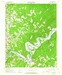 1963 Kelly1965 Print · USGSThe James River corridor in the early 1960s reveals a landscape of industrial railways and deep-rooted family homesteads. Genealogists and historians can trace the locations of Brightwell Mill, the Oxford Furnace site, and family cemeteries like Megginson Cem.3 unique versions available
 - 1963 Map of City Farm, 1965 Print
 1963 City Farm1965 Print · USGSCampbell County and southern Lynchburg are captured in the early sixties as suburban growth begins to reach the rural farmsteads. Trace family sites and community landmarks like Brush Tavern, Preston Glenn Airport, and Lawyers Cem.4 unique versions available
 - 1963 Map of Rustburg, 1965 Print
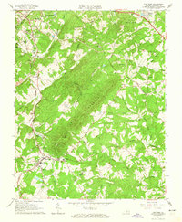 1963 Rustburg1965 Print · USGSCentral Campbell County is captured here in the early 1960s, centered on the local seat and the prominent ridge of Long Mountain. Researchers can trace old family burial grounds like Tweedy Cem and historic congregational sites such as Indian Hill Ch Cem and Immanuel Ch.4 unique versions available
 - 1963 Map of Lynchburg, 1965 Print
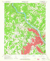 1963 Lynchburg1965 Print · USGSLynchburg and its surrounding heights are captured in the early sixties as the city expanded across the river and rail corridors. Genealogists can locate specific family landmarks like Spring Hill Cem, Dunbar High Sch, and the Randolph Macon Womans College campus.5 unique versions available
 - 1971 Map of Roanoke, 1977 Print
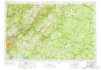 1971 Roanoke1977 Print · USGSThe Virginia Piedmont and Blue Ridge mountains meet in this early 1970s landscape of river valleys and rail hubs. Researchers can trace historic transportation routes and landmarks like the Appomattox Court House Nat Hist Pk, the Peaks of Otter, and Amelia Court House.2 unique versions available
 - 1977 Map of Lynchburg, 1983 Print
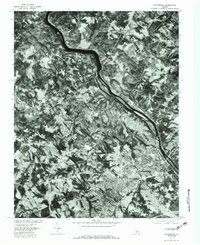 1977 Lynchburg1983 Print · USGSLynchburg and the surrounding Piedmont hills are shown in this detailed 1970s aerial survey, revealing the city's growth and the winding James River. Trace historical property lines and local neighborhoods like Peakland, Blue Ridge Farms, and the rail-side community of Monroe.
 - 1985 Map of Roanoke, 1986 Print
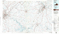 1985 Roanoke1986 Print · USGSMid-eighties Virginia comes into focus across the Blue Ridge and the upper Roanoke River valley during a period of steady regional growth. Genealogists and historians can trace family-named landmarks like Mt Moriah Ch, local hubs such as Cave Spring, and sites like the New London Airport (Drag Strip).2 unique versions available
 - 2010 Map of Kelly, 2010 Print
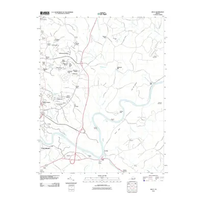 2010 Kelly2010 Print · USGSThe James River corridor in Amherst County appears here in the early twenty-first century, showing the intersection of industrial heritage and modern growth. Genealogists can trace family sites at Megginson Cemetery or locate historic landmarks like Oxford Furnace and Galts Mill.
 - 2010 Map of City Farm, 2010 Print
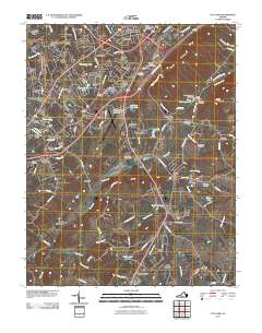 2010 City Farm2010 Print · USGSThe suburbs of Lynchburg and Campbell County are captured here during a period of significant institutional and residential growth. Genealogists and local historians can trace legacy family plots at Beulah Cemetery and Merryman Cemetery or locate landmarks like Brush Tavern.
 - 2010 Map of Rustburg, 2010 Print
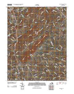 2010 Rustburg2010 Print · USGSRustburg and its surrounding Campbell County countryside appear here in the early twenty-first century as a landscape of family legacies and rolling ridges. Researchers can locate numerous historic burial grounds like Falwell Cemetery and Perrow Cemetery or trace the drainage of Beaver Creek.
 - 2011 Map of Lynchburg, 2011 Print
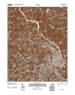 2011 Lynchburg2011 Print · USGSLynchburg and the James River corridor are shown here in the early twenty-first century, revealing a city shaped by its historic hills and river power. Genealogists and local historians can trace landmarks like Old City Cemetery, the Jefferson Street Tunnel, and Court House Hill.
 - 2013 Map of City Farm, 2013 Print
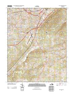 2013 City Farm2013 Print · USGSCampbell County’s suburban expansion and rural heritage are captured here in the early twenty-first century. Genealogists and local historians can trace the development of established communities like Brookville and City Farm or locate landmarks such as Brush Tavern and the Lynchburg Regional Airport.
 - 2013 Map of Kelly, 2013 Print
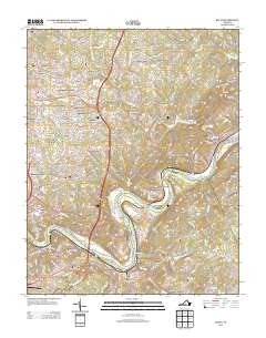 2013 Kelly2013 Print · USGSMadison Heights and the surrounding Amherst County hills are documented here in the early twenty-first century as suburban growth meets river history. Trace the landscape from the James River banks at Oxford Furnace to landmarks like Joshua Falls and Mount Athos.
 - 2013 Map of Lynchburg, 2013 Print
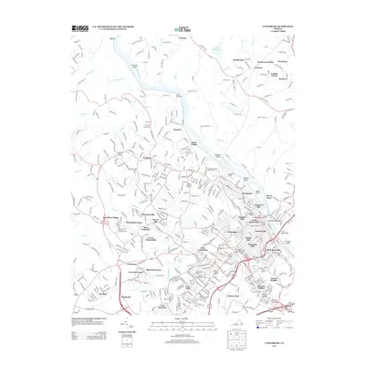 2013 Lynchburg2013 Print · USGSLynchburg and its surrounding hills are captured here in the early twenty-first century, showcasing a city defined by its riverfront and historic heights. Genealogists and local historians can trace the development of legacy neighborhoods like Diamond Hill or locate landmarks such as Monument Terrace and the Jefferson Street Tunnel.
 - 2013 Map of Rustburg, 2013 Print
 2013 Rustburg2013 Print · USGSRustburg and its Piedmont surroundings are captured here in the early twenty-first century as the landscape balanced suburban growth with its rural roots. Researchers can trace local landmarks like Breezy Knoll Airport, the slopes of Long Mountain, and the waters of Mead Lake.
 - 2016 Map of Rustburg, 2016 Print
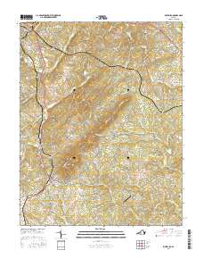 2016 Rustburg2016 Print · USGSRustburg and its surrounding ridges come into focus in the mid-2010s, showing a landscape defined by small family cemeteries and rising mountain terrain. Genealogists and local historians can trace family-named sites like Drinkard Cem, Silver Grove Cem, and the high peak of Long Mtn.
 - 2016 Map of City Farm, 2016 Print
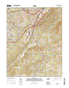 2016 City Farm2016 Print · USGSLynchburg and its Campbell County environs are captured during a period of modern expansion and deep-rooted history. Researchers can trace family sites at Beulah Cem and Prebble Cem or locate the old Brush Tavern and City Farm settlements.
 - 2016 Map of Lynchburg, 2016 Print
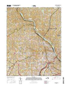 2016 Lynchburg2016 Print · USGSLynchburg and its surrounding heights are documented here in the mid-2010s as the urban landscape reaches out toward the Blue Ridge. Researchers can trace deep local history through landmarks like Old City Cem, Randolph Coll, and the Lynchburg Boulder.
 - 2016 Map of Kelly, 2016 Print
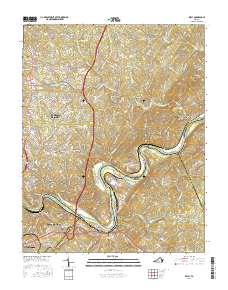 2016 Kelly2016 Print · USGSThe James River corridor near Madison Heights comes into focus in the mid-2010s, showcasing the intersection of industrial heritage and modern growth. Genealogists and historians can trace numerous family burial sites like Feagans Cemetery or locate historic landmarks such as Brightwell Mill and the Oxford Furnace site.
Showing maps 1-25 of 33
Frequently asked questions
- What are the different types of historical maps available for Tyreeanna?
- What is the oldest map of Tyreeanna?
- Where can I purchase historical maps of Tyreeanna for my home or office?
- Where can I download high-res historical maps of Tyreeanna?
- Are there historical topographic maps available for Tyreeanna?
- Is there historical aerial imagery available for Tyreeanna?
- Where are historical maps of Tyreeanna sourced from?