Old Maps of Manassas Park, Virginia for Hiking & Exploration
Hike through history with 37 historic maps of Manassas Park. Explore old trails, ghost towns, and forgotten backroads — perfect for outdoor adventurers and local explorers.
- Rediscover forgotten places: Map out old mining camps, roads, and footpaths that no longer exist on modern maps.
- Layer with modern tools: Combine with LiDAR or satellite views to plan hikes through historical terrain.
- Made for exploration: Popular among hikers, overlanders, and local history lovers.
Use these maps to find adventure and explore the hidden past of Manassas Park.
Manassas Park, VA maps
(37)- 1890 Map of Mt. Vernon
 1890 Mt. Vernon1890 Print · USGSNorthern Virginia and the capital region appear here in the decade before the turn of the century, showing a landscape of river estates and rail-connected villages. Researchers can trace early property sites and historic river landings from Mt. Vernon to Occoquan and Falls Church.
 - 1891 Map of Mt. Vernon
 1891 Mt. Vernon1891 Print · USGSNorthern Virginia and the D.C. area appear here in the late nineteenth century, as the rail-and-river economy connected rural counties to the capital. Researchers can trace ancestral roots through dozens of local landmarks, including Arlington National Cemetery, the Fox Ferry, and historic towns like Occoquan and Vienna.
 - 1894 Map of Mt. Vernon, 1904 Print
 1894 Mt. Vernon1904 Print · USGSThe Potomac River valley south of the capital was still largely a landscape of crossroads and rail depots in the late nineteenth century. Genealogists can trace the rural reaches of Fairfax through landmarks like Arlington National Cemetery, Mt. Vernon, and Tyson Cross Roads.6 unique versions available
 - 1897 Map of Mt. Vernon
 1897 Mt. Vernon1897 Print · USGSNorthern Virginia and the Potomac River appear in the late nineteenth century as a landscape of rural crossroads and strategic fortifications. Trace the early footprints of Vienna, Herndon, and Manassas along the path of the Southern R. R.2 unique versions available
 - 1915 Map of Fairfax
 1915 Fairfax1915 Print · USGSNorthern Virginia in the early twentieth century appears as a collection of quiet rail towns and farmsteads. Trace the old routes of the Southern RR and find family-named landmarks like Sideburn, Balls Ford, and Bear School.4 unique versions available
 - 1927 Map of Quantico
 1927 Quantico1927 Print · USGSPrince William County and the Potomac riverfront appear here in the late twenties, captured just as military and transit corridors began to reshape the rural landscape. Researchers can trace the early foundations of the Marine Corps Reservation and locate vanished local landmarks like Minnieville Store and the Sinclairs Mill.
 - 1940 Map of Quantico
 1940 Quantico1940 Print · USGSCoastal Virginia and Maryland are captured here during the late pre-war era, showing the growing military footprint around the Potomac. Genealogists can trace family names and landmarks like Sinclairs Mill, Bacon Race School, and the historic Dumfries settlement.2 unique versions available
 - 1943 Map of Quantico
 1943 Quantico1943 Print · USGSCoastal Northern Virginia in the mid-1940s reveals a region transitioning from a rural riverfront to a strategic military hub. Researchers can trace the early layout of the Marine Corps Reservation or locate family sites like Shacklet PO and Old Chopawamsic Ch.
 - 1944 Map of Fairfax
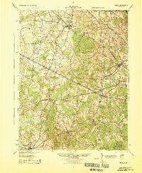 1944 Fairfax1944 Print · USGSNorthern Virginia at the height of the Second World War remains a landscape of rail-connected villages and rural schools. Genealogists and historians can trace family locations through landmarks like Oak Grove Store, Bear School, and the historic Washington and Old Dominion RR.
 - 1948 Map of Washington
 1948 Washington1948 Print · USGSThe Potomac and Chesapeake regions in the late 1940s reveal a landscape of expanding military reach and deep-rooted Tidewater settlements. Trace old rail corridors like the Richmond Fredericksburg & Potomac RR or locate landmarks like the Wakefield Washington Monument and St. Marys College.2 unique versions available
 - 1951 Map of Manassas, 1952 Print
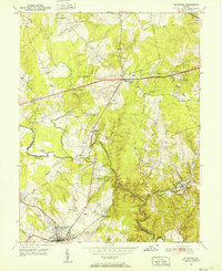 1951 Manassas1952 Print · USGSMid-century Northern Virginia is captured here during a period of steady growth along the historic Southern Railway and Lee Highway corridors. Genealogists and historians can trace family-named locations such as Johnsons Corner, Cobbs Corner, and rural landmarks like Rock Hill Ch.
 - 1951 Map of Independent Hill, 1953 Print
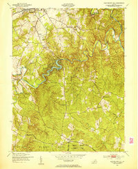 1951 Independent Hill1953 Print · USGSPrince William County in the early fifties shows a landscape of small hamlets and wooded creek valleys before the major arrival of modern suburbs. You can locate rural landmarks like the Longview Park Speedway, find the Hixson Cem, or trace the winding Occoquan Creek.
 - 1956 Map of Independent Hill, 1959 Print
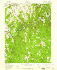 1956 Independent Hill1959 Print · USGSPrince William County in the mid-fifties showcases a landscape of growing towns and winding waterways. Researchers can trace the development of MANASSAS near the Old Dominion Speedway or find rural landmarks like Brentsville, Woodbine Ch, and Minniville Cem.
 - 1957 Map of Manassas, 1958 Print
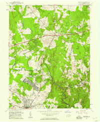 1957 Manassas1958 Print · USGSNorthern Virginia was beginning its transition from rural farmland to suburban hub during the late fifties. You can trace the development of Manassas Park and Yorkshire or locate local landmarks like St Johns Ch and the Drive-in Theater.2 unique versions available
 - 1957 Map of Quantico, 1961 Print
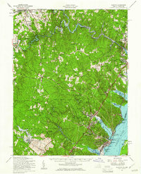 1957 Quantico1961 Print · USGSPrince William County in the late fifties shows the expansion of military and park lands along the Potomac. Trace the footprint of Quantico Marine Base and Prince William Forest Park, or locate landmarks like Lebeau Airport and Woodbine Ch.2 unique versions available
 - 1957 Map of Washington, 1966 Print
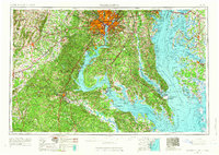 1957 Washington1966 Print · USGSThe mid-Atlantic region during the mid-fifties and early sixties reveals a landscape of growing suburbs and vital military outposts. Researchers can trace historic river towns and shorelines from Alexandria to the Hooper Islands and St Clements Island.5 unique versions available
 - 1961 Map of Washington
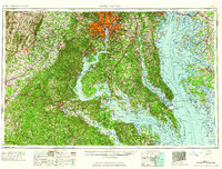 1961 Washington1961 Print · USGSThe mid-Atlantic region in the late fifties is presented in remarkable detail, from the Blue Ridge foothills to the Chesapeake Eastern Shore. Researchers can trace historic river landings and military sites like Mount Vernon, Fort Belvoir, and Point Lookout.2 unique versions available
 - 1966 Map of Manassas, 1967 Print
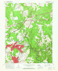 1966 Manassas1967 Print · USGSManassas and Centreville undergo rapid suburban transformation in the mid-sixties as new neighborhoods rise along the Lee Highway. Genealogists and historians can trace the growth of Manassas Park, locate rural sites like State Prison Camp No 30, or follow the Southern Railway through Clifton.4 unique versions available
 - 1966 Map of Independent Hill, 1968 Print
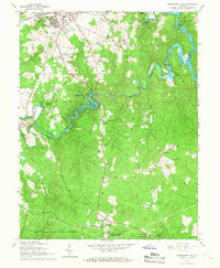 1966 Independent Hill1968 Print · USGSPrince William County is captured during its mid-century transition, showing the area between the growing Manassas outskirts and the Marine Corps lands. Researchers can locate community anchors like Sacred Heart Cath Ch, the Old Dominion Speedway, and the waters of Lake Jackson.5 unique versions available
 - 1977 Map of Independent Hill, 1982 Print
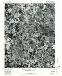 1977 Independent Hill1982 Print · USGSPrince William County undergoes visible change in the late seventies as residential growth meets old rural crossroads. Trace the development of Brentsville and Longview or follow the path of Bull Run to the Occoquan Reservoir.
 - 1977 Map of Manassas, 1982 Print
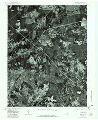 1977 Manassas1982 Print · USGSFairfax County undergoes rapid suburbanization in the late seventies, captured in high-contrast aerial imagery. Trace the evolving street patterns of Manassas and Manassas Park or follow the natural bends of Bull Run and Clifton.
 - 1982 Map of Washington West, 1983 Print
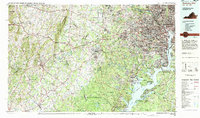 1982 Washington West1983 Print · USGSThe Virginia and Maryland suburbs were undergoing intense development in the early eighties as the capital region expanded outward. Researchers can trace the footprint of Cold War-era defense sites like Fort Belvoir and Vint Hill Farms Station alongside growing academic centers like George Mason University.
 - 1986 Map of Washington West
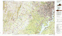 1986 Washington West1986 Print · USGSNorthern Virginia and the D.C. metro area are captured here in the mid-eighties as suburban growth began to meet rural Fauquier County. Trace the development of the corridor from Alexandria out to Dulles and the preserved lands of Prince William Forest Park.2 unique versions available
 - 1989 Map of Washington
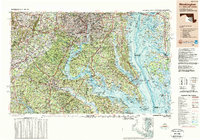 1989 Washington1989 Print · USGSThe Potomac River valley and Chesapeake Bay are shown in comprehensive detail during the late 1980s. Genealogists and historians can trace the transition from urban Alexandria to the rural Northern Neck, locating landmarks like Mount Vernon and Stratford Hall.
 - 1990 Map of Manassas, 1996 Print
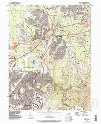 1990 Manassas1996 Print · USGSNorthern Virginia was undergoing rapid suburbanization in the 1990s, as traditional rural landscapes gave way to modern residential developments. Genealogists and historians can trace the growth of London Towne, Yorkshire, and Clifton alongside the preserved Manassas National Battlefield Park.
Showing maps 1-25 of 37
Top cities of Manassas Park
Frequently asked questions
- What are the different types of historical maps available for Manassas Park?
- What is the oldest map of Manassas Park?
- Where can I purchase historical maps of Manassas Park for my home or office?
- Where can I download high-res historical maps of Manassas Park?
- Are there historical topographic maps available for Manassas Park?
- Is there historical aerial imagery available for Manassas Park?
- Where are historical maps of Manassas Park sourced from?