Old Maps of Ogburn, Virginia for Genealogy
Trace your family roots with 12 historic maps of Ogburn. These high-res maps reveal old neighborhoods, homesites, landmarks, and streets — helping you uncover where your ancestors lived and how the area evolved over time.
- Explore historic neighborhoods: Identify where your relatives may have lived in the 1800s or 1900s.
- Compare maps over time: Trace the changes in streets, buildings, and landmarks for multi-generational research.
- Perfect for genealogy & ancestry research: Used by family historians and researchers to map out lineage and migration.
These maps are an incredible resource for exploring your personal connection to Ogburn's past.
Ogburn, VA maps
(12)- 1953 Map of Greensboro, 1981 Print
 1953 Greensboro1981 Print · USGSThe Piedmont borderlands of North Carolina and Virginia show a landscape defined by new reservoirs and old rail lines. Trace family roots and the changing river geography through Elon College, the John H Kerr Reservoir, and South Boston.
 - 1954 Map of Greensboro
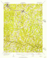
 1954 Greensboro1954 Print · USGSThe Piedmont borderlands of North Carolina and Virginia come alive in this mid-fifties study of a region defined by its rivers and rails. Researchers can trace the growing Buggs Island Lake or follow the paths of the Southern Ry and Seaboard Air Line RR through towns like Oxford and Reidsville.
 - 1955 Map of Kenbridge, 1957 Print
 1955 Kenbridge1957 Print · USGSSouthside Virginia's rural heartland thrives in the mid-fifties, shaped by the Virginian railroad and a landscape of crossroads hamlets. Genealogists and local historians can trace family roots through numerous sites like Whittles Mill, St Mark Ch, and Lochleven Sch.
 - 1962 Map of Greensboro
 1962 Greensboro1962 Print · USGSThe Piedmont region along the Virginia and North Carolina border comes alive in the early 1960s, showing a landscape defined by industry and new reservoirs. Trace the path of the Virginian RR or explore the early development of Greensboro and Durham.
 - 1966 Map of Greensboro
 1966 Greensboro1966 Print · USGSThe North Carolina and Virginia Piedmont thrives during the mid-sixties, showcasing a landscape of textile hubs and expanding river reservoirs. Researchers can trace the rail corridors of the Southern Railway, find local landmarks like Elon College, or locate the extensive Camp Butner Military Reservation.
 - 1966 Map of North View, 1967 Print
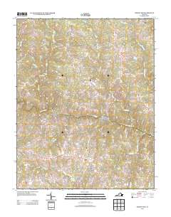
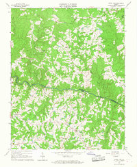 1966 North View1967 Print · USGSCrossing the Meherrin River in the 1960s, this area of Southside Virginia reveals a landscape of small communities and family-named landmarks. Genealogists and local historians can trace legacy sites like Whittles Mill, Bagleys Mills, and St Johns Cem.4 unique versions available
 - 1984 Map of South Boston, 1985 Print
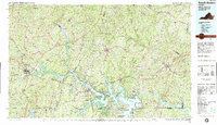 1984 South Boston1985 Print · USGSSouthside Virginia and the northern border of North Carolina are defined by water and rail in the mid-1980s. Genealogists and historians can trace the development of riverside towns like Clarksville or follow the legacy of the Norfolk and Western and Southern railroads through Chase City and Halifax.
 - 2010 Map of North View, 2010 Print
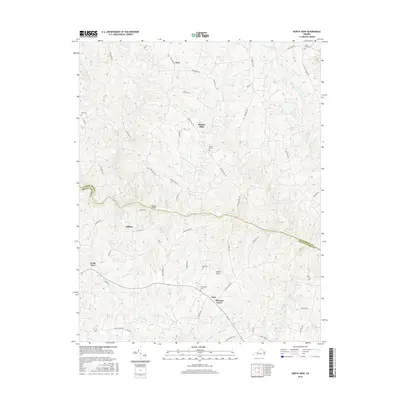
 2010 North View2010 Print · USGSCovers Ogburn, including North View, Saffolds Bridge, and other nearby areas
 - 2013 Map of North View, 2013 Print
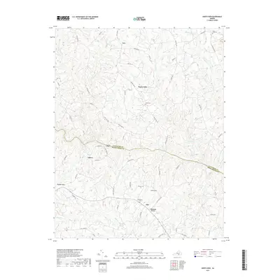
 2013 North View2013 Print · USGSCovers Ogburn, including North View, Saffolds Bridge, and other nearby areas
 - 2016 Map of North View, 2016 Print
 2016 North View2016 Print · USGSCovers Ogburn, including North View, Saffolds Bridge, and other nearby areas
 - 2019 Map of North View, 2019 Print
 2019 North View2019 Print · USGSCovers Ogburn, including North View, Saffolds Bridge, and other nearby areas
 - 2022 Map of North View, 2022 Print
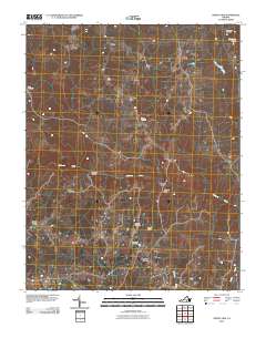
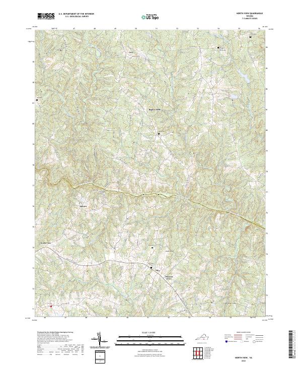 2022 North View2022 Print · USGSLunenburg County’s southern reaches are shown in the early 2020s, where the Meherrin River divides a landscape of historic crossroads and small settlements. Researchers can trace family sites through numerous burial grounds like Tabernacle Cem and Bailey Cem, or follow the path of the Tobacco Heritage Trl.
End of results
Showing maps 1-12 of 12
Top cities near Ogburn
- South Hill historical maps
- Chase City historical maps
- Victoria historical maps
- Bracey historical maps
- Kenbridge historical maps
- La Crosse historical maps
See more
Frequently asked questions
- What are the different types of historical maps available for Ogburn?
- What is the oldest map of Ogburn?
- Where can I purchase historical maps of Ogburn for my home or office?
- Where can I download high-res historical maps of Ogburn?
- Are there historical topographic maps available for Ogburn?
- Is there historical aerial imagery available for Ogburn?
- Where are historical maps of Ogburn sourced from?