Old Maps of Hardyville, Virginia
Explore 16 old maps of Hardyville, spanning from 1916 to today. These high-resolution historic maps reveal how streets, neighborhoods, landmarks, and natural features evolved over time — perfect for genealogy, metal detecting, research, and local history exploration.
What you can do with these maps:
- See how Hardyville changed over time: Compare historical maps to modern-day views to trace roads, homesites, rail lines & more.
- View detailed metadata: Each map includes creators, publishers, year, scale, and archive source.
- Overlay maps with satellite & LiDAR: Visualize the past alongside modern tools to explore terrain & human change.
- Trusted historical sources: Maps sourced from the USGS, Library of Congress, and other archives.
- Access maps your way: View online, download high-res files, or order prints for personal or research use.
Start exploring old maps of Hardyville to uncover forgotten places, hidden landmarks, and the deep history beneath your feet.
Hardyville, VA maps
(16)- 1916 Map of Kilmarnock
 1916 Kilmarnock1916 Print · USGSBefore the era of modern bridges, this coastal Virginia region relied on a busy steamboat route network connecting the Northern Neck and Middle Peninsula. Genealogists can locate family landmarks like Wharton Grove Camp, White Chapel Church, and numerous landings including Morattico Wharf.2 unique versions available
 - 1917 Map of Kilmarnock
 1917 Kilmarnock1917 Print · USGSThe Northern Neck and Middle Peninsula of Virginia are shown during the height of the steamboat era. Genealogists can locate family-named landmarks and essential community hubs like the Old Brick Church, Harmony Village, and Kilmarnock Wharf.4 unique versions available
 - 1942 Map of Kilmarnock
 1942 Kilmarnock1942 Print · USGSThe Virginia Tidewater in the early 1940s was a world of steamboat routes and bustling river landings. Trace the maritime history of the Northern Neck through Whitestone Wharf, the Shipleys Ferry crossing, and the grounds of Christ Church.
 - 1943 Map of Richmond, 1972 Print
 1943 Richmond1972 Print · USGSCoastal Virginia and the state capital are shown in detail during the mid-century era of infrastructure expansion. Genealogists and historians can trace the grounds of Richmond Nat Battlefield Park, locate the Yorktown Nat Cem, or follow the many rural routes through Amelia Court House and Tappahannock.
 - 1948 Map of Deltaville
 1948 Deltaville1948 Print · USGSDeltaville and the surrounding Middlesex County shoreline are documented here in the late 1940s, showing a maritime landscape shaped by the Chesapeake Bay. Researchers can trace historic fishing communities and coastal markers such as Stingray Point LH, the village of Amburg, and Fleets Island.2 unique versions available
 - 1949 Map of Richmond, 1951 Print
 1949 Richmond1951 Print · USGSCoastal Virginia in the years following World War II remained a landscape of historic river towns and expanding military bases. Genealogists and historians can trace the rail lines of the Southern Ry and locate established landmarks from Camp Lee to the remote reaches of Dragon Swamp.
 - 1959 Map of Richmond
 1959 Richmond1959 Print · USGSMid-century Virginia is captured here at its most vital rail and river junctions, from the capital city to the Chesapeake Bay. Genealogists and historians can trace the development of colonial settlements like Williamsburg and military landmarks including Fort Monroe and Camp Lee.
 - 1964 Map of Richmond
 1964 Richmond1964 Print · USGSCoastal and central Virginia are mapped during the mid-twentieth century, showing the critical intersection of rail, river, and military life. Genealogists can trace family roots through rural county seats like Amelia or find vanished coastal neighborhoods near Phoebus and Hilton Village.
 - 1964 Map of Deltaville, 1966 Print
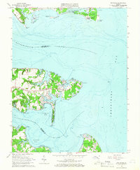 1964 Deltaville1966 Print · USGSThe Middlesex County coastline in the mid-sixties reveals a landscape defined by its relation to the Chesapeake. Genealogists and historians can trace family locations near Deltaville, find local landmarks like Philippi Ch, or locate old landings at Stingray Point and Westland.4 unique versions available
 - 1973 Map of Richmond, 1974 Print
 1973 Richmond1974 Print · USGSThe Virginia Tidewater and Piedmont come alive in the early seventies, showcasing a region defined by its great rivers and massive military installations. Researchers can trace the mid-century growth of Richmond or locate family sites near Amelia Court House and Highland Springs.2 unique versions available
 - 1984 Map of Tappahannock
 1984 Tappahannock1984 Print · USGSThe Northern Neck and Middle Peninsula of Virginia are captured in detail during the mid-1980s, showcasing the region's deep-rooted maritime and agricultural identity. Genealogists and local historians can trace family locations across the intricate shorelines of the Rappahannock River and settlements like Kilmarnock, Heathsville, and Urbanna.3 unique versions available
 - 2011 Map of Deltaville, 2011 Print
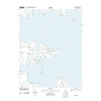 2011 Deltaville2011 Print · USGSChesapeake Bay maritime life is centered around the peninsula of Deltaville and Gwynn Island in the early twenty-first century. You can trace old waterfront infrastructure and local family history at Grinels Wharf, Windmill Point Landing, and the Gwynns Island Cemetery.
 - 2013 Map of Deltaville, 2013 Print
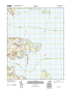 2013 Deltaville2013 Print · USGSThe Middle Peninsula comes alive in the early twenty-first century, showing the intricate coastlines of Deltaville and Stingray Point. You can trace historical water access points at Grinels Wharf and Jackson Creek Wharf or locate the Windmill Golf Course.
 - 2016 Map of Deltaville, 2016 Print
 2016 Deltaville2016 Print · USGSThe tip of the Middle Peninsula in the mid-2010s shows a landscape deeply tied to the Chesapeake. Genealogists and historians can trace family properties around Deltaville, the Gwynn Island Cem, and the historic maritime reaches of Stingray Point.
 - 2019 Map of Deltaville, 2019 Print
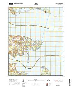 2019 Deltaville2019 Print · USGSThe maritime communities of the Middle Peninsula are captured here in the late twenty-first century. Genealogists and local historians can trace family locations near Deltaville, Amburg, and the historic Gwynn's Island Cem on Gwynn Island.
 - 2022 Map of Deltaville, 2022 Print
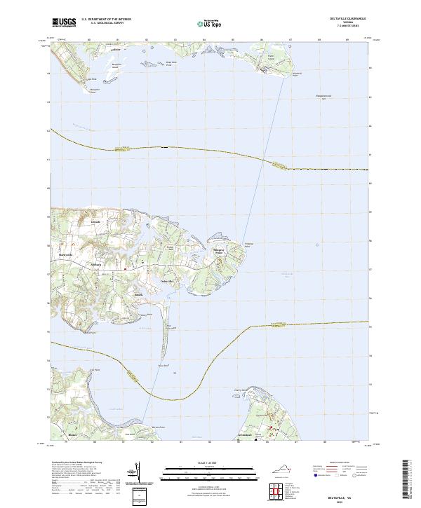 2022 Deltaville2022 Print · USGSDeltaville and the lower Chesapeake Bay tidewater are shown here as they appeared in 2022. Local researchers can trace waterfront settlements from Grinels and Ruark down to Grimstead on Gwynn Island, or locate the historic Gwynn's Island Cem.
End of results
Showing maps 1-16 of 16
Top cities near Hardyville
- Gloucester historical maps
- Kilmarnock historical maps
- Deltaville historical maps
- Irvington historical maps
- Saluda historical maps
- Hudgins historical maps
See more
Frequently asked questions
- What are the different types of historical maps available for Hardyville?
- What is the oldest map of Hardyville?
- Where can I purchase historical maps of Hardyville for my home or office?
- Where can I download high-res historical maps of Hardyville?
- Are there historical topographic maps available for Hardyville?
- Is there historical aerial imagery available for Hardyville?
- Where are historical maps of Hardyville sourced from?