Old Maps of Denbigh, Virginia for Academic Research
Study the evolution of Denbigh with 19 high-resolution historic maps. Whether you're teaching, researching, or modeling changes in land use, these maps provide essential visual documentation of urban, environmental, and geographic change.
- Analyze long-term change: Track patterns in development, transportation, and natural features.
- Ideal for environmental or urban studies: Support academic projects with primary historical map data.
- Use in the classroom or lab: Educators and researchers rely on these maps to bring historical context to life.
These maps are a powerful tool for teaching, research, and visualizing how Denbigh has changed over the decades.
Denbigh, VA maps
(19)- 1907 Map of Yorktown
 1907 Yorktown1907 Print · USGSThe Virginia Peninsula and the banks of the James River are shown here at the turn of the century, revealing a landscape defined by colonial roots and Civil War defenses. Genealogists can trace early twentieth-century life at Denbigh P O, Bacons Castle, and the National Cem.6 unique versions available
 - 1943 Map of Yorktown
 1943 Yorktown1943 Print · USGSThe Virginia Tidewater is captured here during the Second World War, showing the strategic riverfronts of the James and Warwick rivers. Researchers can locate colonial landmarks and defensive ruins like Old Fort Yorktown, Bacons Castle, and Warwick Courthouse.
 - 1943 Map of Richmond, 1972 Print
 1943 Richmond1972 Print · USGSCoastal Virginia and the state capital are shown in detail during the mid-century era of infrastructure expansion. Genealogists and historians can trace the grounds of Richmond Nat Battlefield Park, locate the Yorktown Nat Cem, or follow the many rural routes through Amelia Court House and Tappahannock.
 - 1944 Map of Yorktown
 1944 Yorktown1944 Print · USGSVirginia's historic Peninsula is captured here during the height of the 1940s mobilization, showing the massive infrastructure of wartime military installations. Researchers can trace the grounds of Fort Eustis and Camp Patrick Henry alongside older landmarks like Old Fort McPherson and Lee Mansion.
 - 1949 Map of Richmond, 1951 Print
 1949 Richmond1951 Print · USGSCoastal Virginia in the years following World War II remained a landscape of historic river towns and expanding military bases. Genealogists and historians can trace the rail lines of the Southern Ry and locate established landmarks from Camp Lee to the remote reaches of Dragon Swamp.
 - 1950 Map of Yorktown, 1954 Print
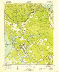 1950 Yorktown1954 Print · USGSThe Virginia Peninsula at the midpoint of the century reveals a landscape where Revolutionary War history meets massive military expansion. Genealogists and historians can trace the footprint of Yorktown alongside mid-century landmarks like the National Cem, Lee Mansion, and the Patrick Henry Airport.
 - 1957 Map of Yorktown, 1960 Print
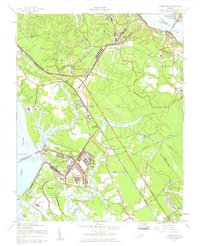 1957 Yorktown1960 Print · USGSThe Virginia Peninsula is shown here during a period of significant military and suburban growth in the late fifties. Researchers can trace the layout of Fort Eustis, the historic streets of Yorktown, and local landmarks like Rising Sun Church or the Patrick Henry Airport.
 - 1959 Map of Richmond
 1959 Richmond1959 Print · USGSMid-century Virginia is captured here at its most vital rail and river junctions, from the capital city to the Chesapeake Bay. Genealogists and historians can trace the development of colonial settlements like Williamsburg and military landmarks including Fort Monroe and Camp Lee.
 - 1964 Map of Richmond
 1964 Richmond1964 Print · USGSCoastal and central Virginia are mapped during the mid-twentieth century, showing the critical intersection of rail, river, and military life. Genealogists can trace family roots through rural county seats like Amelia or find vanished coastal neighborhoods near Phoebus and Hilton Village.
 - 1965 Map of Yorktown, 1968 Print
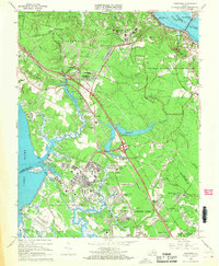 1965 Yorktown1968 Print · USGSCoastal Virginia in the mid-1960s reveals a unique overlap of Revolutionary War history and Cold War military readiness. Researchers can trace ancestral sites from Yorktown to Lee Hall, including the National Cemetery and Rising Sun Church.4 unique versions available
 - 1973 Map of Richmond, 1974 Print
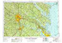 1973 Richmond1974 Print · USGSThe Virginia Tidewater and Piedmont come alive in the early seventies, showcasing a region defined by its great rivers and massive military installations. Researchers can trace the mid-century growth of Richmond or locate family sites near Amelia Court House and Highland Springs.2 unique versions available
 - 1984 Map of Yorktown
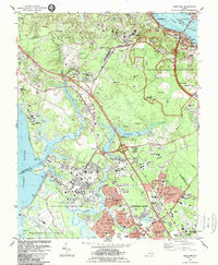 1984 Yorktown1984 Print · USGSYorktown and the Virginia Peninsula are shown in the mid-eighties as a unique blend of National Park sites and active military installations. Researchers can trace historic landmarks like Cornwallis Cave, Washingtons Headquarters, and the Surrender Ground alongside the growth of Lee Hall.2 unique versions available
 - 1984 Map of Williamsburg, 1985 Print
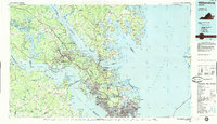 1984 Williamsburg1985 Print · USGSThe Virginia Peninsula and Chesapeake Bay shores are shown in the mid-1980s, revealing a landscape defined by colonial heritage and massive military installations. Researchers can trace the grounds of the College of William and Mary, the Yorktown National Cemetery, and the historic Jamestown Island.3 unique versions available
 - 1994 Map of Yorktown, 1999 Print
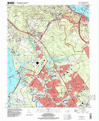 1994 Yorktown1999 Print · USGSThe Virginia Peninsula near the end of the century reveals a strategic landscape where colonial history meets modern military power. Genealogists and historians can trace Yorktown National Cemetery, the Surrender Ground, and family-named landmarks like Curtis Cem and Hanover Heights.
 - 2010 Map of Yorktown, 2010 Print
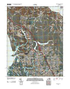 2010 Yorktown2010 Print · USGSCoastal Virginia near the start of the twenty-first century retains deep ties to its revolutionary and military past. Genealogists and historians can trace significant landmarks like the Yorktown National Cemetery, Poplar Hall Plantation, and the historic Surrender Road.
 - 2013 Map of Yorktown, 2013 Print
 2013 Yorktown2013 Print · USGSYorktown and the Lower Peninsula are shown here in the early twenty-first century, balancing modern suburban growth with significant colonial landmarks. Researchers can trace the layout of Poplar Hall Plantation, locate the Surrender Ground, or study the footprints of Lee Hall and Denbigh.
 - 2016 Map of Yorktown, 2016 Print
 2016 Yorktown2016 Print · USGSCoastal Virginia near the mouth of the York River reflects a deep layering of Revolutionary history and modern urban expansion. Researchers can trace family plots and local landmarks from Yorktown National Cemetery and Lee Cem to the neighborhoods of Beechmont and Oriana.
 - 2019 Map of Yorktown, 2019 Print
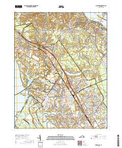 2019 Yorktown2019 Print · USGSThe York River peninsula in the late 2010s reveals a unique landscape of military installations and colonial history. Researchers can trace family roots at Yorktown National Cem or explore the geography of Fort Eustis and Lee Hall.
 - 2022 Map of Yorktown, 2022 Print
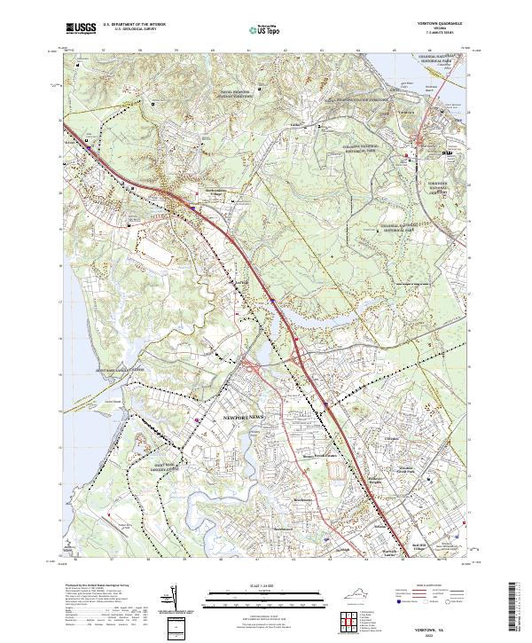 2022 Yorktown2022 Print · USGSCoastal Virginia's colonial heritage meets modern military installations on the Virginia Peninsula in the early 2020s. Researchers can trace historic cemeteries and landmarks like the Yorktown National Cem, Cornwallis Cave, and Jackson Post Cem alongside the expansive Naval Weapons Station Yorktown.
End of results
Showing maps 1-19 of 19
Frequently asked questions
- What are the different types of historical maps available for Denbigh?
- What is the oldest map of Denbigh?
- Where can I purchase historical maps of Denbigh for my home or office?
- Where can I download high-res historical maps of Denbigh?
- Are there historical topographic maps available for Denbigh?
- Is there historical aerial imagery available for Denbigh?
- Where are historical maps of Denbigh sourced from?