2000s (21st Century) Maps of Pinewell, Virginia
Explore 5 historic maps of Pinewell from the 2000s (21st Century). These maps offer a rare glimpse into what life looked like during the 2000s — showing old roads, neighborhoods, homes, and landmarks that have changed or disappeared over time.
Whether you're researching your family's past, planning a metal detecting trip, or studying how Pinewell's landscape evolved across the 2000s, these high-resolution maps are a powerful tool for exploring the history of this region.
- Focus on a specific era: All maps on this page are from the 2000s, giving you a focused view of this time period.
- See what’s changed: Compare century-old streets, trails, and buildings to today's modern landscape using overlays and satellite layers.
- Research with precision: Use these maps for genealogy, historical research, land use analysis, or educational projects.
- View, download, or print: Maps are fully viewable online in high resolution, and can be downloaded or printed for your own records.
Start exploring Pinewell's history through authentic maps from the 2000s. This is your window into the past.
Pinewell, VA maps
(5)- 2011 Map of Norfolk North, 2011 Print
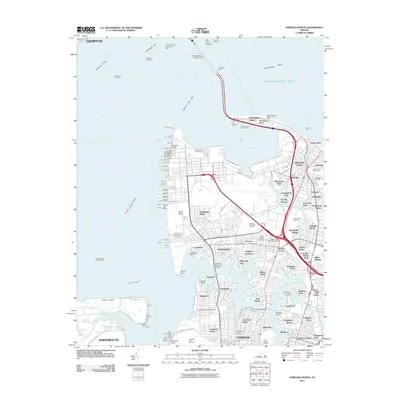 2011 Norfolk North2011 Print · USGSCovers Pinewell, including Cottage Road Park, Oakdale Farms, and other nearby areas
 - 2013 Map of Norfolk North, 2013 Print
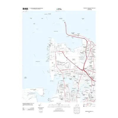 2013 Norfolk North2013 Print · USGSCovers Pinewell, including Cottage Road Park, Oakdale Farms, and other nearby areas
 - 2016 Map of Norfolk North, 2016 Print
 2016 Norfolk North2016 Print · USGSCovers Pinewell, including Cottage Road Park, Oakdale Farms, and other nearby areas
 - 2019 Map of Norfolk North, 2019 Print
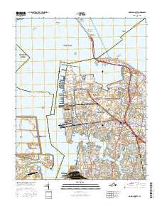
 2019 Norfolk North2019 Print · USGSCovers Pinewell, including Cottage Road Park, Oakdale Farms, and other nearby areas
 - 2022 Map of Norfolk North, 2022 Print
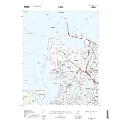
 2022 Norfolk North2022 Print · USGSCoastal Virginia at the start of the 2020s shows a landscape defined by its deep-water harbor and massive naval infrastructure. Researchers can trace the layout of residential neighborhoods like Lochhaven and Ocean View alongside the grounds of Old Dominion University and Forest Lawn Cem.
End of results
Showing maps 1-5 of 5
Top cities near Pinewell
- Norfolk historical maps
- Newport News historical maps
- Hampton historical maps
- Portsmouth historical maps
- Poquoson historical maps
- Bethel Manor historical maps
Frequently asked questions
- What are the different types of historical maps available for Pinewell?
- What is the oldest map of Pinewell?
- Where can I purchase historical maps of Pinewell for my home or office?
- Where can I download high-res historical maps of Pinewell?
- Are there historical topographic maps available for Pinewell?
- Is there historical aerial imagery available for Pinewell?
- Where are historical maps of Pinewell sourced from?