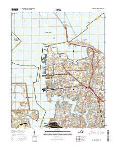
2016 Map of Norfolk North
USGS Topo · Published 2016About this map
Norfolk Naval Station (Chambers Field) dominates the northern edge of this coastal landscape where the James River meets the Chesapeake Bay. This 2016 survey illustrates the high-density urban geography of Norfolk, characterized by dozens of distinct residential neighborhoods like Algonquin Park, Larchmont, and Winona. The map details the complex maritime infrastructure of the region, from the Hampton Roads Bridge Tunnel connecting to Hampton to the extensive shipping channels of the Elizabeth River and Newport News Channel.
Find a feature on this map
212 named features on this map. Tap any name to fly to it.
Don’t see what you’re looking for? This feature index may not catch every label — zoom into the map to look around manually.
Map Details
Editions of this 2016 Norfolk North Map
This is the sole edition of this map. No revisions or reprints were ever made.
Other maps of this area

1907 · Norfolk
USGS Topo · 1:125,000

1907 · Hampton
USGS Topo · 1:62,500

1918 · Cape Henry
USGS Topo · 1:62,500

1919 · Cape Henry
USGS Topo · 1:62,500

1921 · Newport News
USGS Topo · 1:62,500

1943 · Richmond
USGS Topo · 1:250,000

1944 · Hampton
USGS Topo · 1:24,000

1944 · Morrison
USGS Topo · 1:24,000

1944 · Norfolk South
USGS Topo · 1:25,000

1948 · Norfolk South
USGS Topo · 1:24,000