Old Maps of Edgefield East, Virginia for Academic Research
Study the evolution of Edgefield East with 13 high-resolution historic maps. Whether you're teaching, researching, or modeling changes in land use, these maps provide essential visual documentation of urban, environmental, and geographic change.
- Analyze long-term change: Track patterns in development, transportation, and natural features.
- Ideal for environmental or urban studies: Support academic projects with primary historical map data.
- Use in the classroom or lab: Educators and researchers rely on these maps to bring historical context to life.
These maps are a powerful tool for teaching, research, and visualizing how Edgefield East has changed over the decades.
Edgefield East, VA maps
(13)- 1907 Map of Norfolk
 1907 Norfolk1907 Print · USGSCoastal Virginia is mapped here at the dawn of the twentieth century, during the bustle of the great Jamestown Exposition. Researchers can trace the early rail-and-canal economy through the Albemarle and Chesapeake Canal, the Navy Yard, and historic outposts like the Cape Henry Light.
 - 1921 Map of Newport News
 1921 Newport News1921 Print · USGSThe Virginia tidewater area comes alive in the early twentieth century, showing a landscape defined by maritime industry and massive military installations. Genealogists and historians can trace rail lines and early settlements from Camp Stuart down to Jolliff School and the Dismal Swamp.4 unique versions available
 - 1952 Map of Newport News
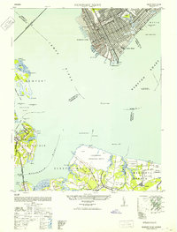 1952 Newport News1952 Print · USGSThe industrial waterfront of Hampton Roads and the James River are captured here just after the war. Local researchers can trace the rail yards of the C & O, the military grounds of Camp Stuart, and the oyster-working life at Eclipse.
 - 1953 Map of Norfolk, 1954 Print
 1953 Norfolk1954 Print · USGSCoastal Virginia and northeastern North Carolina appear here during the post-war industrial boom, showing the critical rail-and-sea connections of Hampton Roads. Genealogists can trace family roots through rural landmarks like Gethsemane Ch, the Caledonia State Prison Farm, and the vast interior of the Dismal Swamp.4 unique versions available
 - 1955 Map of Newport News, 1958 Print
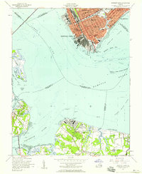 1955 Newport News1958 Print · USGSThe Virginia Peninsula and Southside meet at the James River just as the mid-century port economy peaked. Genealogists and historians can trace neighborhood landmarks from Newport News to Eclipse, locating Mt Zion Ch and the Chesapeake & Ohio Ry docks.
 - 1964 Map of Newport News South, 1966 Print
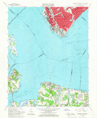 1964 Newport News South1966 Print · USGSThe industrial waterfront of Newport News and Hampton meets the marshy southern shore of the James River in the mid-1960s. Genealogists and historians can trace urban neighborhoods around Greenlawn Cemetery or locate old coastal settlements like Eclipse and Crittenden.7 unique versions available
 - 1985 Map of Norfolk, 1986 Print
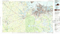 1985 Norfolk1986 Print · USGSThe Tidewater region in the mid-eighties shows the dense urban expansion of the coastal cities alongside the preservation of the Great Dismal Swamp. Researchers can trace rural family-named crossroads and historic transit routes like the Seaboard Coast Line or find Somerton and Lake Drummond.3 unique versions available
 - 1994 Map of Newport News South, 2000 Print
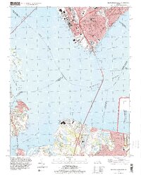 1994 Newport News South2000 Print · USGSCoastal Virginia in the mid-nineties shows the evolving maritime landscape of the Lower Peninsula and the Tidewater region. Researchers can trace historic local sites like Greenlawn Cemetery, the James River Bridge, and the community of Eclipse.
 - 2011 Map of Newport News South, 2011 Print
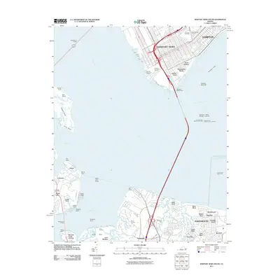 2011 Newport News South2011 Print · USGSCoastal Virginia at the turn of the decade reveals a landscape defined by maritime industry and riverfront growth. Trace family history and harbor activity through Greenlawn Cemetery, the Crittenden Post Office, and the iconic Newport News Middle Ground Light.
 - 2013 Map of Newport News South, 2013 Print
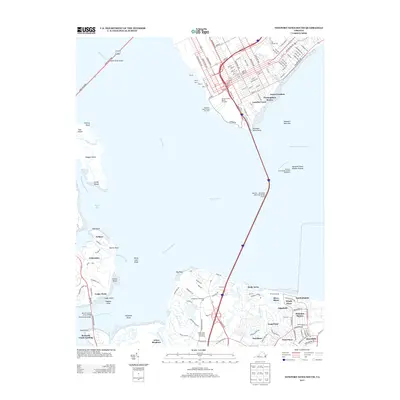 2013 Newport News South2013 Print · USGSCoastal Virginia in the early twenty-first century reveals a landscape of industrial maritime power and expanding residential reaches. Trace the shoreline from the Newport News Marine Terminal to local landings at Eclipse and Bennetts Creek Landing.
 - 2016 Map of Newport News South, 2016 Print
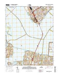 2016 Newport News South2016 Print · USGSCoastal Virginia’s industrial and marshy landscapes intersect at Hampton Roads in the mid-2010s. Genealogists and historians can trace the neighborhoods of Huntersville and Edgefield, or locate family sites at Greenlawn Cem and Knotts Neck.
 - 2019 Map of Newport News South, 2019 Print
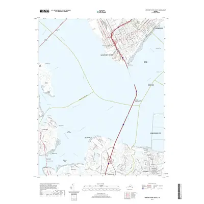 2019 Newport News South2019 Print · USGSThe Hampton Roads waterfront is captured in the late 2010s as modern transit corridors bridge the historic James River. Genealogists can trace family sites at Pleasant Shade Cem or explore the smaller communities of Eclipse and Crittenden along the western shore.
 - 2022 Map of Newport News South, 2022 Print
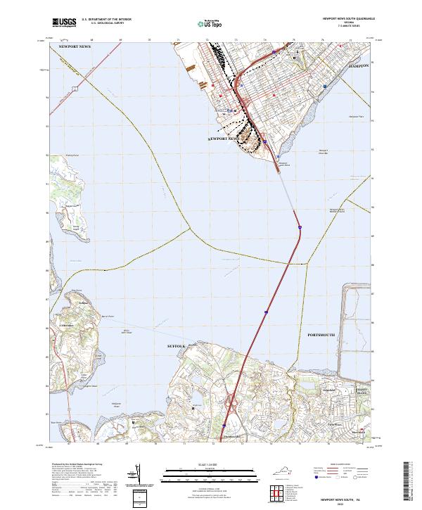 2022 Newport News South2022 Print · USGSHampton Roads and the lower James River waterfront are shown in detail during this contemporary era. Genealogists and local historians can locate smaller communities like Crittenden and Eclipse alongside landmarks like Pleasant Shade Cem.
End of results
Showing maps 1-13 of 13
Frequently asked questions
- What are the different types of historical maps available for Edgefield East?
- What is the oldest map of Edgefield East?
- Where can I purchase historical maps of Edgefield East for my home or office?
- Where can I download high-res historical maps of Edgefield East?
- Are there historical topographic maps available for Edgefield East?
- Is there historical aerial imagery available for Edgefield East?
- Where are historical maps of Edgefield East sourced from?