Old Maps of Peola Mills, Virginia for Hiking & Exploration
Hike through history with 13 historic maps of Peola Mills. Explore old trails, ghost towns, and forgotten backroads — perfect for outdoor adventurers and local explorers.
- Rediscover forgotten places: Map out old mining camps, roads, and footpaths that no longer exist on modern maps.
- Layer with modern tools: Combine with LiDAR or satellite views to plan hikes through historical terrain.
- Made for exploration: Popular among hikers, overlanders, and local history lovers.
Use these maps to find adventure and explore the hidden past of Peola Mills.
Peola Mills, VA maps
(13)- 1893 Map of Luray, 1898 Print
 1893 Luray1898 Print · USGSThe Shenandoah Valley in the 1890s was a land of steep mountain ridges and vital new railways. Genealogists and historians can trace old homesteads and depots along the Shenandoah Valley Railroad or find remote hamlets like Seven Fountains and Browntown.
 - 1905 Map of Luray, 1910 Print
 1905 Luray1910 Print · USGSThe Blue Ridge and Shenandoah Valley are frozen in time just after the turn of the century, showing the critical rail networks and mountain gaps of the period. Genealogists can trace family names and settlements like Luray, Front Royal, and Strasburg along the Shenandoah Valley Railroad.4 unique versions available
 - 1949 Map of Charlottesville
 1949 Charlottesville1949 Print · USGSThe Shenandoah Valley and Blue Ridge appear in the late 1940s as a thriving corridor of rail and river commerce. Researchers can trace the mid-century footprints of Harrisonburg, Staunton, and Culpeper alongside the historic routes of the Southern Railway.2 unique versions available
 - 1956 Map of Charlottesville, 1966 Print
 1956 Charlottesville1966 Print · USGSThe Shenandoah Valley and Blue Ridge are captured in detail during the mid-1960s as the modern interstate system began to emerge. Genealogists and historians can trace rail-connected hubs like Waynesboro or follow the river paths of the Rapidan River and Rivanna River.4 unique versions available
 - 1961 Map of Sperryville, 1962 Print
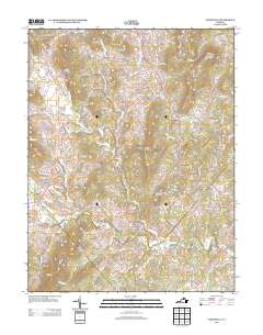
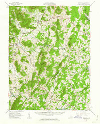 1961 Sperryville1962 Print · USGSVirginia's Piedmont and the Blue Ridge foothills come alive in this early 1960s survey of Rappahannock and Culpeper counties. Genealogists and historians can trace numerous milling communities like Monumental Mills and Peola Mills alongside local landmarks such as Hope Hill Chapel.2 unique versions available
 - 1971 Map of Woodville, 1972 Print
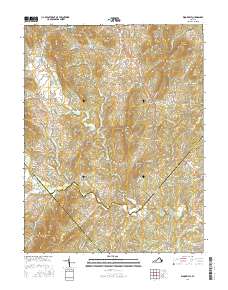
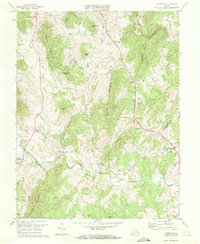 1971 Woodville1972 Print · USGSRappahannock County in the early seventies remains a landscape of tucked-away mills and family crossroads. Genealogists can locate legacy sites like Peola Mills, Slate Mills, and Revercombs Corner among the peaks of Bessie Bell Mountain.3 unique versions available
 - 1986 Map of Front Royal
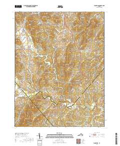
 1986 Front Royal1986 Print · USGSThe northern Shenandoah Valley and the Blue Ridge crest are captured here in the mid-eighties as modern highways began to bypass historic valley towns. Researchers can trace ancestral connections near Peola Mills, navigate the gaps like Manassas Gap, or study the river bends around Luray.3 unique versions available
 - 1994 Map of Woodville, 1997 Print
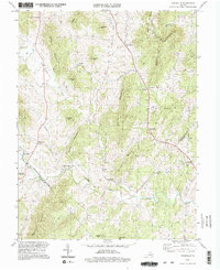 1994 Woodville1997 Print · USGSThe foothills of the Blue Ridge in the mid-1990s reveal a landscape of ancestral mountain peaks and riverbank milling communities. Genealogists can locate family landmarks like Revercombs Corner or trace the rural parishes of Piedmont Ch and Nazareth Ch.2 unique versions available
 - 2011 Map of Woodville, 2011 Print
 2011 Woodville2011 Print · USGSCovers Peola Mills, including Scrabble, Revercombs Corner, and other nearby areas
 - 2013 Map of Woodville, 2013 Print
 2013 Woodville2013 Print · USGSCovers Peola Mills, including Scrabble, Revercombs Corner, and other nearby areas
 - 2016 Map of Woodville, 2016 Print
 2016 Woodville2016 Print · USGSCovers Peola Mills, including Scrabble, Revercombs Corner, and other nearby areas
 - 2019 Map of Woodville, 2019 Print
 2019 Woodville2019 Print · USGSCovers Peola Mills, including Scrabble, Revercombs Corner, and other nearby areas
 - 2022 Map of Woodville, 2022 Print
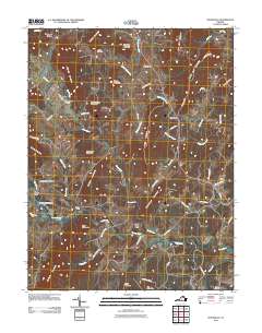
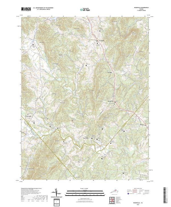 2022 Woodville2022 Print · USGSRappahannock County's rural landscape is revealed in this modern survey of the Virginia Piedmont. Family historians can trace ancestral roots through dozens of private burial sites like the Hitt Family Graveyard and old church grounds at Slate Mills Baptist Church Cem.
End of results
Showing maps 1-13 of 13
Top cities near Peola Mills
- Culpeper historical maps
- Luray historical maps
- Brightwood historical maps
- Flint Hill historical maps
- Sperryville historical maps
- Madison historical maps
See more
Frequently asked questions
- What are the different types of historical maps available for Peola Mills?
- What is the oldest map of Peola Mills?
- Where can I purchase historical maps of Peola Mills for my home or office?
- Where can I download high-res historical maps of Peola Mills?
- Are there historical topographic maps available for Peola Mills?
- Is there historical aerial imagery available for Peola Mills?
- Where are historical maps of Peola Mills sourced from?