2000s (21st Century) Maps of Keezletown, Virginia
Explore 6 historic maps of Keezletown from the 2000s (21st Century). These maps offer a rare glimpse into what life looked like during the 2000s — showing old roads, neighborhoods, homes, and landmarks that have changed or disappeared over time.
Whether you're researching your family's past, planning a metal detecting trip, or studying how Keezletown's landscape evolved across the 2000s, these high-resolution maps are a powerful tool for exploring the history of this region.
- Focus on a specific era: All maps on this page are from the 2000s, giving you a focused view of this time period.
- See what’s changed: Compare century-old streets, trails, and buildings to today's modern landscape using overlays and satellite layers.
- Research with precision: Use these maps for genealogy, historical research, land use analysis, or educational projects.
- View, download, or print: Maps are fully viewable online in high resolution, and can be downloaded or printed for your own records.
Start exploring Keezletown's history through authentic maps from the 2000s. This is your window into the past.
Keezletown, VA maps
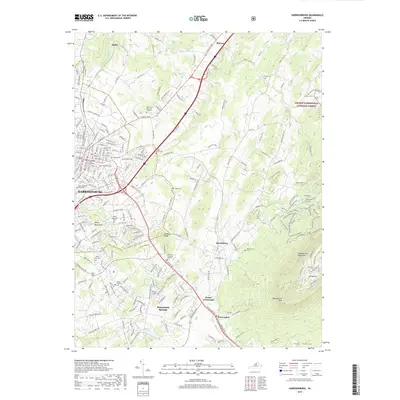
(6)- 2002 Map of Harrisonburg, 2004 Print
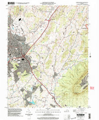 2002 Harrisonburg2004 Print · USGSHarrisonburg and the Shenandoah Valley are shown in detail at the turn of the millennium as the city expanded toward the mountains. Researchers can trace local heritage through sites like Massanetta Springs, the Ashby Monument, and Keezletown.
 - 2011 Map of Harrisonburg, 2011 Print
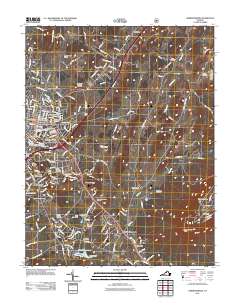 2011 Harrisonburg2011 Print · USGSCovers Keezletown, including Harrisonburg, Massanetta Springs, and other nearby areas
 - 2013 Map of Harrisonburg, 2013 Print
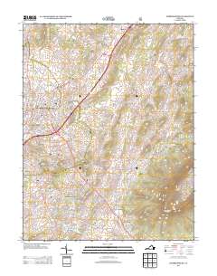 2013 Harrisonburg2013 Print · USGSCovers Keezletown, including Harrisonburg, Massanetta Springs, and other nearby areas
 - 2016 Map of Harrisonburg, 2016 Print
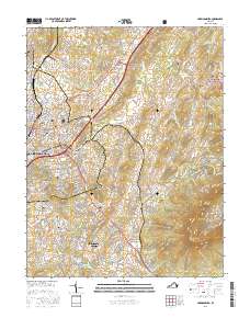 2016 Harrisonburg2016 Print · USGSCovers Keezletown, including Harrisonburg, Massanetta Springs, and other nearby areas
 - 2019 Map of Harrisonburg, 2019 Print
 2019 Harrisonburg2019 Print · USGSCovers Keezletown, including Harrisonburg, Massanetta Springs, and other nearby areas
 - 2022 Map of Harrisonburg, 2022 Print
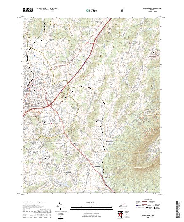 2022 Harrisonburg2022 Print · USGSHarrisonburg and the central Shenandoah Valley appear here in a contemporary 2022 survey. Genealogists can trace local roots through numerous family sites like Brock Family Cem and the historic community of Keezletown.
End of results
Showing maps 1-6 of 6
Top cities near Keezletown
- Harrisonburg historical maps
- Massanetta Springs historical maps
- Bridgewater historical maps
- Verona historical maps
- Broadway historical maps
- Weyers Cave historical maps
See more
Frequently asked questions
- What are the different types of historical maps available for Keezletown?
- What is the oldest map of Keezletown?
- Where can I purchase historical maps of Keezletown for my home or office?
- Where can I download high-res historical maps of Keezletown?
- Are there historical topographic maps available for Keezletown?
- Is there historical aerial imagery available for Keezletown?
- Where are historical maps of Keezletown sourced from?