Old Maps of McGaheysville, Virginia for Academic Research
Study the evolution of McGaheysville with 13 high-resolution historic maps. Whether you're teaching, researching, or modeling changes in land use, these maps provide essential visual documentation of urban, environmental, and geographic change.
- Analyze long-term change: Track patterns in development, transportation, and natural features.
- Ideal for environmental or urban studies: Support academic projects with primary historical map data.
- Use in the classroom or lab: Educators and researchers rely on these maps to bring historical context to life.
These maps are a powerful tool for teaching, research, and visualizing how McGaheysville has changed over the decades.
McGaheysville, VA maps
(13)- 1892 Map of Harrisonburg, 1901 Print
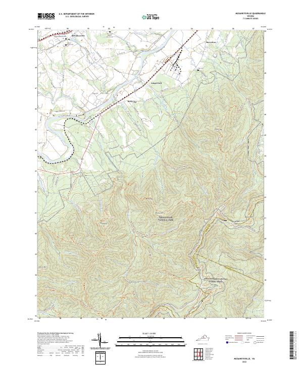
 1892 Harrisonburg1901 Print · USGSThe Shenandoah Valley during the 1890s reveals a landscape of thriving springs, mills, and emerging industry across Rockingham and Albemarle counties. Genealogists can trace family locations through sites like Meyerhoffer's Store, the Crimora Mine, and the University of Virginia Observatory.6 unique versions available
 - 1937 Map of Elkton
 1937 Elkton1937 Print · USGSThe Shenandoah Valley and Blue Ridge highlands are captured here in the 1930s as mountain missions and rural schools still served remote hollows. Genealogists can locate family landmarks like the Wyatt Shiflett Ch, Simmons Gap PO, and Blose Sch.3 unique versions available
 - 1949 Map of Charlottesville
 1949 Charlottesville1949 Print · USGSThe Shenandoah Valley and Blue Ridge appear in the late 1940s as a thriving corridor of rail and river commerce. Researchers can trace the mid-century footprints of Harrisonburg, Staunton, and Culpeper alongside the historic routes of the Southern Railway.2 unique versions available
 - 1956 Map of Charlottesville, 1966 Print
 1956 Charlottesville1966 Print · USGSThe Shenandoah Valley and Blue Ridge are captured in detail during the mid-1960s as the modern interstate system began to emerge. Genealogists and historians can trace rail-connected hubs like Waynesboro or follow the river paths of the Rapidan River and Rivanna River.4 unique versions available
 - 1965 Map of Mc Gaheysville, 1966 Print
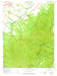 1965 Mc Gaheysville1966 Print · USGSRockingham County at the edge of the Blue Ridge is captured here during the mid-sixties as the valley's rail lines meet the mountain wilderness. You can trace the Appalachian Trail past Pinefield Shelter or locate local landmarks like Mt Olivet Cem and the Mines near Island Ford.3 unique versions available
 - 1977 Map of Mc Gaheysville, 1982 Print
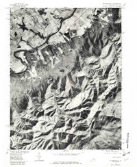 1977 Mc Gaheysville1982 Print · USGSRockingham County in the late seventies is shown in remarkable detail through this aerial orthophotoquad. Genealogists and local historians can trace the property lines near Mc Gaheysville, Berrytown, and the South Fork Shenandoah River.
 - 1986 Map of Charlottesville
 1986 Charlottesville1986 Print · USGSCentral Virginia in the mid-eighties shows a landscape balanced between the growing city centers of the Piedmont and the protected ridges of the Blue Ridge. Trace the historic rail lines of the Chesapeake and Ohio Railway or locate local landmarks like Monticello Mountain and Bridgewater College.3 unique versions available
 - 1999 Map of Mc Gaheysville, 2001 Print
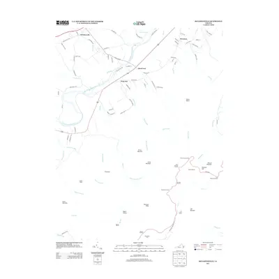
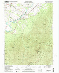 1999 Mc Gaheysville2001 Print · USGSRockingham County at the close of the twentieth century shows a valley shaped by the river and the Blue Ridge mountains. Genealogists and hikers can trace old valley settlements like McGaheysville or explore high-country landmarks like the Appalachian Trail and Mt Olivet Cem.
 - 2010 Map of McGaheysville, 2010 Print
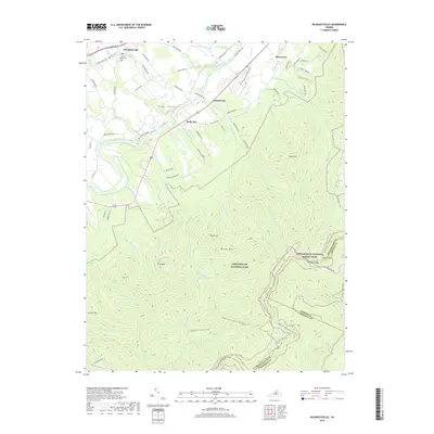
 2010 McGaheysville2010 Print · USGSCovers McGaheysville, including Island Ford, Berrytown, and other nearby areas
 - 2013 Map of McGaheysville, 2013 Print
 2013 McGaheysville2013 Print · USGSCovers McGaheysville, including Island Ford, Berrytown, and other nearby areas
 - 2016 Map of McGaheysville, 2016 Print
 2016 McGaheysville2016 Print · USGSCovers McGaheysville, including Island Ford, Berrytown, and other nearby areas
 - 2019 Map of McGaheysville, 2019 Print
 2019 McGaheysville2019 Print · USGSCovers McGaheysville, including Island Ford, Berrytown, and other nearby areas
 - 2022 Map of McGaheysville, 2022 Print
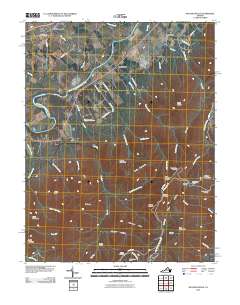
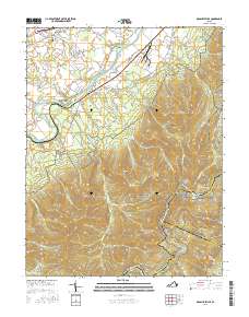
 2022 McGaheysville2022 Print · USGSIn the valley of the South Fork Shenandoah River during the early 2020s, the landscape balances small-town settlements with sprawling protected wilderness. Genealogists can trace local roots through Mount Olivet Cem and Sipe Cem, while hikers can follow the Appalachian National Scenic Trail through Pinefield Gap.
End of results
Showing maps 1-13 of 13
Top cities near McGaheysville
- Harrisonburg historical maps
- Massanetta Springs historical maps
- Bridgewater historical maps
- Broadway historical maps
- Weyers Cave historical maps
- Grottoes historical maps
See more
Frequently asked questions
- What are the different types of historical maps available for McGaheysville?
- What is the oldest map of McGaheysville?
- Where can I purchase historical maps of McGaheysville for my home or office?
- Where can I download high-res historical maps of McGaheysville?
- Are there historical topographic maps available for McGaheysville?
- Is there historical aerial imagery available for McGaheysville?
- Where are historical maps of McGaheysville sourced from?