Old Maps of Clinchport, Virginia for Metal Detecting
Plan your next treasure hunt with 24 historic maps of Clinchport. Find old homesites, ghost towns, trails, and gathering spots that may be lost to time — perfect for identifying promising metal detecting locations.
- Locate forgotten sites: Uncover places like long-lost settlements, abandoned rail lines, or gathering spots.
- Plan better hunts: Use map overlays combined with LiDAR or satellite views to narrow in on historically rich areas.
- Made for detectorists: Thousands of hobbyists use these maps to discover relics, coins, and hidden history.
Use these historic maps to boost your research and find new opportunities beneath the surface of Clinchport.
Clinchport, VA maps
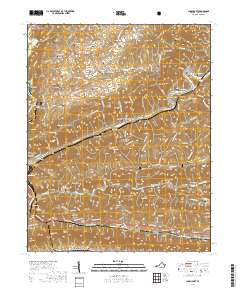
(24)- 1894 Map of Estillville, 1909 Print
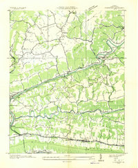
 1894 Estillville1909 Print · USGSThe Appalachian highlands at the turn of the century show a landscape of isolated mountain hollows and emerging rail hubs. Genealogists can trace family footprints across river crossings like Speer Ferry and vanished industry at Zion Mills or Brick Store.3 unique versions available
 - 1935 Map of Moggasin
 1935 Moggasin1935 Print · USGSThe Virginia-Tennessee borderlands appear here in the mid-1930s, showing the early industrial growth of Kingsport and Gate City. Trace family roots at Wolfe Cem or locate old mills like Speers Ferry Mill along the Clinch River.
 - 1935 Map of Clinchport
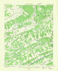
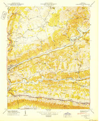
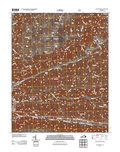
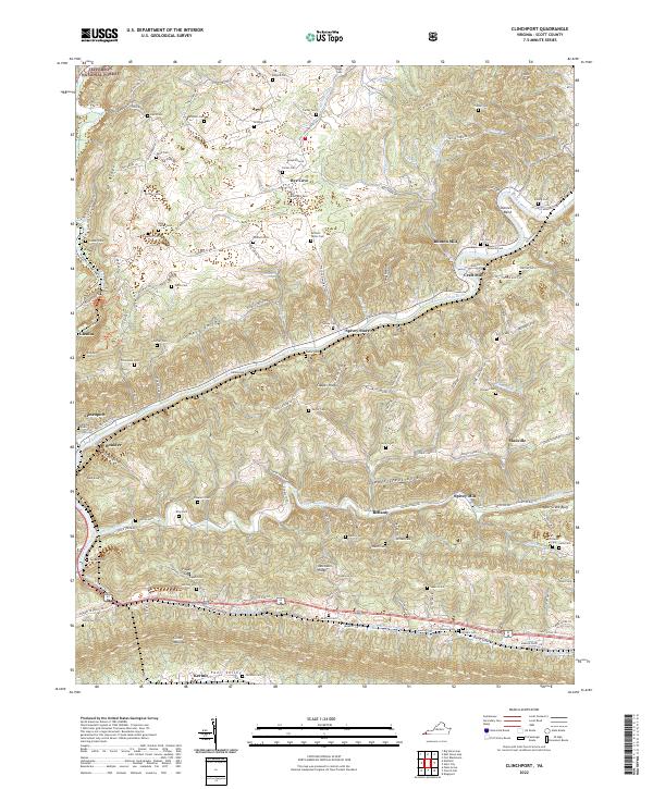
 1935 Clinchport1935 Print · USGSScott County in the mid-1930s is defined by the steep ridges and deep valleys of the Clinch River system. Researchers can locate family landmarks such as Riggs Chapel, Fugate Mill, and the rail operations at Danlboone Yard.
 - 1935 Map of Duffield
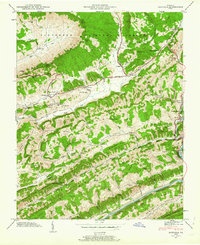
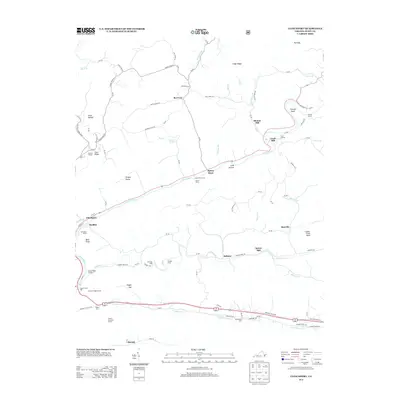
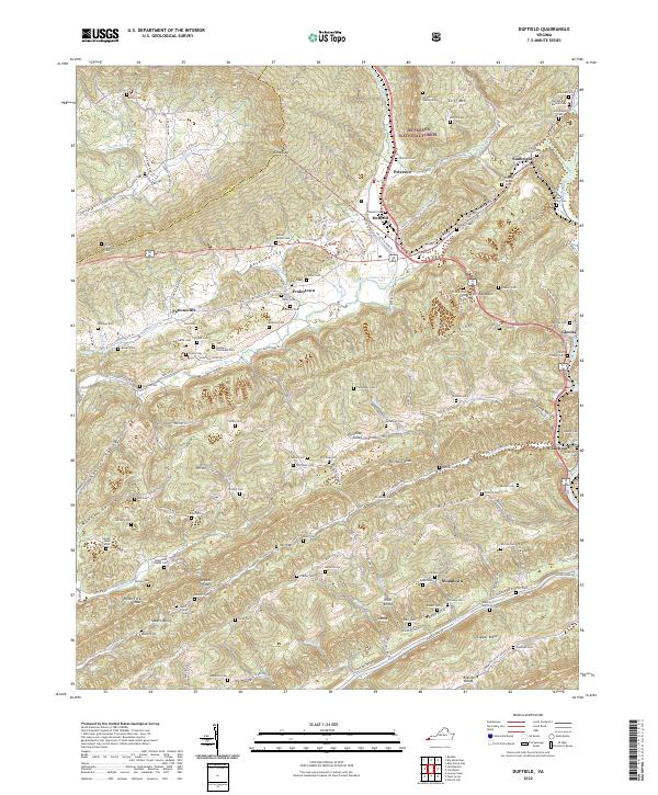
 1935 Duffield1935 Print · USGSScott County, Virginia, is captured here in the mid-1930s as a landscape of isolated mountain settlements and riverside mills. Researchers can trace the heritage of rural communities through landmarks like Sunbright Hortons Summit P O, Lawson Mill, and Pattonsville Sch.
 - 1947 Map of Duffield, 1963 Print
 1947 Duffield1963 Print · USGSSouthwestern Virginia in the late 1940s reveals a landscape of ridge-and-valley settlements and vital rail corridors. Genealogists and historians can trace dozens of family-named cemeteries and rural landmarks like Hortons Summit, the Daniel Boone Trail, and the Natural Tunnel.4 unique versions available
 - 1947 Map of Clinchport, 1970 Print
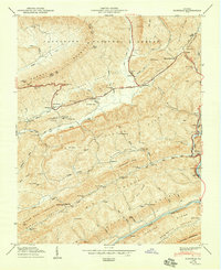
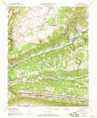 1947 Clinchport1970 Print · USGSThe Clinch River valley in the late 1940s was a landscape defined by massive rail engineering and deep-rooted Appalachian communities. Genealogists and historians can trace family sites from Alleys Chapel to Natural Tunnel, alongside industrial markers like Rhoton Mill and the Danlboone Yard.3 unique versions available
 - 1950 Map of Clinchport
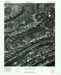
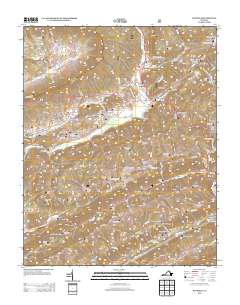
 1950 Clinchport1950 Print · USGSScott County's dramatic river gaps and rail tunnels are captured in detail during the mid-twentieth century. Researchers can locate family homesteads near Rhoton Mill, trace the Daniel Boone Trail, or find ancestral sites like Alleys Chapel.2 unique versions available
 - 1950 Map of Duffield
 1950 Duffield1950 Print · USGSAcross the ridges of Scott and Lee Counties in 1950, this area shows a landscape of mountain gaps and rail-fed river towns. Genealogists and historians can locate numerous family cemeteries and remote landmarks like Hortons Summit (PO), Hill Chapel, and the Bald Knob Tunnel.2 unique versions available
 - 1955 Map of Johnson City
 1955 Johnson City1955 Print · USGSEast Tennessee and the bordering highlands of Virginia and Kentucky appear here during the post-war industrial boom. You can trace the complex network of mountain ridges and new TVA lakes, from Johnson City to the coalfields near Middlesboro and Lynch.
 - 1957 Map of Johnson City, 1966 Print
 1957 Johnson City1966 Print · USGSUpper East Tennessee and Southwest Virginia are shown here during the mid-sixties transition of the Appalachians. Researchers can trace the industrial rail hubs of Kingsport, the sprawling waters of Cherokee Lake, and the historic Cumberland Gap.
 - 1960 Map of Johnson City
 1960 Johnson City1960 Print · USGSUpper East Tennessee and the surrounding tri-state area are shown in the mid-fifties during the height of the TVA reservoir era. Trace the industrial rail lines of the Southern and Louisville and Nashville between Kingsport and Johnson City.
 - 1963 Map of Johnson City
 1963 Johnson City1963 Print · USGSThe Tri-Cities and the surrounding Appalachian ridges are shown in detail during the early sixties, highlighting the era's vital rail and river networks. Genealogists and historians can trace the routes of the Clinchfield RR and locate settlements from Rogersville to Elizabethton.
 - 1976 Map of Duffield, 1981 Print
 1976 Duffield1981 Print · USGSScott County, Virginia, is captured in the mid-seventies just as the valley corridors were seeing modern highway and rail developments. Genealogists and local historians can trace family-named landmarks and old settlements like Pattonsville, Fraleytown, and Sloantown.
 - 1981 Map of Bristol
 1981 Bristol1981 Print · USGSAppalachia and the Tri-Cities region are shown at a peak of industrial and rail development in the early eighties. Researchers can trace the Clinchfield Railroad through the mountains or find local landmarks like King College and the Holston Army Ammunition Plant.2 unique versions available
 - 2011 Map of Duffield, 2011 Print
 2011 Duffield2011 Print · USGSCovers Clinchport, including Duffield, Sloantown, and other nearby areas
 - 2011 Map of Clinchport, 2011 Print
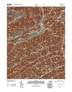
 2011 Clinchport2011 Print · USGSCovers Clinchport, including Craft Mill, Manville, and other nearby areas
 - 2013 Map of Clinchport, 2013 Print
 2013 Clinchport2013 Print · USGSCovers Clinchport, including Craft Mill, Manville, and other nearby areas
 - 2013 Map of Duffield, 2013 Print
 2013 Duffield2013 Print · USGSCovers Clinchport, including Duffield, Sloantown, and other nearby areas
 - 2016 Map of Clinchport, 2016 Print
 2016 Clinchport2016 Print · USGSCovers Clinchport, including Craft Mill, Manville, and other nearby areas
 - 2016 Map of Duffield, 2016 Print
 2016 Duffield2016 Print · USGSCovers Clinchport, including Duffield, Sloantown, and other nearby areas
 - 2019 Map of Duffield, 2019 Print
 2019 Duffield2019 Print · USGSCovers Clinchport, including Duffield, Sloantown, and other nearby areas
 - 2019 Map of Clinchport, 2019 Print
 2019 Clinchport2019 Print · USGSCovers Clinchport, including Craft Mill, Manville, and other nearby areas
 - 2022 Map of Duffield, 2022 Print
 2022 Duffield2022 Print · USGSThe ridge-and-valley landscape of Scott County is captured here in the early twenty-first century, showing the enduring rural communities along the N Fork Clinch River. Genealogists can trace deep local roots at the Robinette Family Cem, Sloantown, and the Speer Gilliam Sloan Cem.
 - 2022 Map of Clinchport, 2022 Print
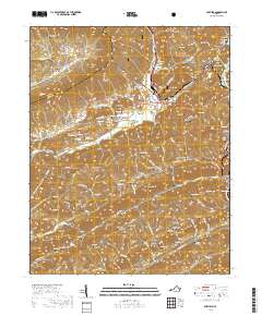
 2022 Clinchport2022 Print · USGSThe Clinch River valley and its surrounding ridges come alive in this Scott County survey from the early 2020s. Researchers can locate numerous family burial sites like Boatright Cem and historic milling sites including Rhoton Mill and Craft Mill.
End of results
Showing maps 1-24 of 24
Top cities near Clinchport
- Kingsport historical maps
- Bloomingdale historical maps
- Church Hill historical maps
- Big Stone Gap historical maps
- Rogersville historical maps
- Gate City historical maps
See more
Frequently asked questions
- What are the different types of historical maps available for Clinchport?
- What is the oldest map of Clinchport?
- Where can I purchase historical maps of Clinchport for my home or office?
- Where can I download high-res historical maps of Clinchport?
- Are there historical topographic maps available for Clinchport?
- Is there historical aerial imagery available for Clinchport?
- Where are historical maps of Clinchport sourced from?