Old Maps of Gate City, Virginia for Genealogy
Trace your family roots with 23 historic maps of Gate City. These high-res maps reveal old neighborhoods, homesites, landmarks, and streets — helping you uncover where your ancestors lived and how the area evolved over time.
- Explore historic neighborhoods: Identify where your relatives may have lived in the 1800s or 1900s.
- Compare maps over time: Trace the changes in streets, buildings, and landmarks for multi-generational research.
- Perfect for genealogy & ancestry research: Used by family historians and researchers to map out lineage and migration.
These maps are an incredible resource for exploring your personal connection to Gate City's past.
Gate City, VA maps
(23)- 1894 Map of Estillville, 1909 Print
 1894 Estillville1909 Print · USGSThe Appalachian highlands at the turn of the century show a landscape of isolated mountain hollows and emerging rail hubs. Genealogists can trace family footprints across river crossings like Speer Ferry and vanished industry at Zion Mills or Brick Store.3 unique versions available
 - 1935 Map of Moggasin
 1935 Moggasin1935 Print · USGSThe Virginia-Tennessee borderlands appear here in the mid-1930s, showing the early industrial growth of Kingsport and Gate City. Trace family roots at Wolfe Cem or locate old mills like Speers Ferry Mill along the Clinch River.
 - 1935 Map of Kingsport
 1935 Kingsport1935 Print · USGSKingsport and the surrounding Holston River valley are captured in the mid-thirties as industrial growth began to reshape the landscape. Researchers can locate community anchors like CCC Camp 2427, Sensabaugh Tunnel, and the sprawling Eastman complex.
 - 1935 Map of Gate City
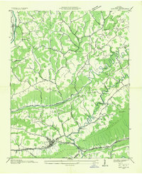 1935 Gate City1935 Print · USGSScott County, Virginia, is captured in the mid-1930s as a landscape of river-valley settlements and ridge-top churches. Genealogists and local historians can trace the foundations of Gate City and find rural landmarks like Starnes Slant PO, Carrico Mill, and Moccasin Gap.
 - 1938 Map of Gate City, 1960 Print
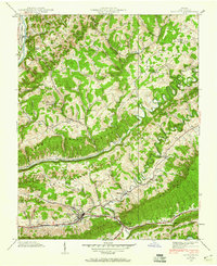 1938 Gate City1960 Print · USGSScott County, Virginia, is captured in the late 1930s as a landscape of ridge-and-valley settlements and rural industry. Genealogists can trace family roots through numerous burial grounds like Alley Cem and local landmarks such as Jayne Mill and Starnes Slant.5 unique versions available
 - 1939 Map of Gate City
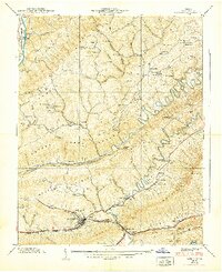 1939 Gate City1939 Print · USGSGate City and the surrounding Scott County ridges are shown here in the late thirties, centered on the strategic transit corridor of Moccasin Gap. Researchers can locate several family-run operations and landmarks like Jayne Mill, Starnes Slant (PO), and Hale Spring.
 - 1939 Map of Kingsport
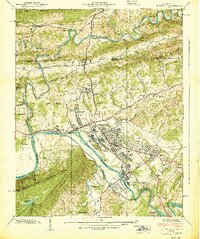 1939 Kingsport1939 Print · USGSThe industrial hub of Kingsport and the surrounding Holston River valleys come alive in this late-1930s survey. Genealogists and historians can trace the foundations of Borden Village, locate the Sensabaugh Tunnel, and find family landmarks like Dorter Mill.2 unique versions available
 - 1955 Map of Johnson City
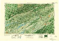 1955 Johnson City1955 Print · USGSEast Tennessee and the bordering highlands of Virginia and Kentucky appear here during the post-war industrial boom. You can trace the complex network of mountain ridges and new TVA lakes, from Johnson City to the coalfields near Middlesboro and Lynch.
 - 1957 Map of Johnson City, 1966 Print
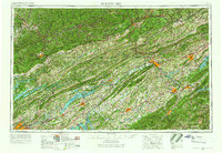 1957 Johnson City1966 Print · USGSUpper East Tennessee and Southwest Virginia are shown here during the mid-sixties transition of the Appalachians. Researchers can trace the industrial rail hubs of Kingsport, the sprawling waters of Cherokee Lake, and the historic Cumberland Gap.
 - 1959 Map of Kingsport, 1960 Print
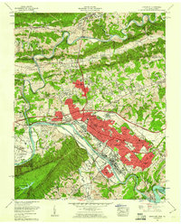 1959 Kingsport1960 Print · USGSKingsport and its surrounding river valleys reached a peak of industrial development and suburban growth during the late fifties. Researchers can trace family roots through numerous local sites like Oak Hill Cem, Lynn View High School, and the historic Fort Robinson.6 unique versions available
 - 1960 Map of Johnson City
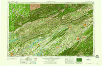 1960 Johnson City1960 Print · USGSUpper East Tennessee and the surrounding tri-state area are shown in the mid-fifties during the height of the TVA reservoir era. Trace the industrial rail lines of the Southern and Louisville and Nashville between Kingsport and Johnson City.
 - 1963 Map of Johnson City
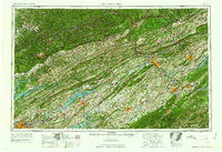 1963 Johnson City1963 Print · USGSThe Tri-Cities and the surrounding Appalachian ridges are shown in detail during the early sixties, highlighting the era's vital rail and river networks. Genealogists and historians can trace the routes of the Clinchfield RR and locate settlements from Rogersville to Elizabethton.
 - 1981 Map of Bristol
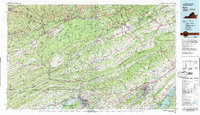 1981 Bristol1981 Print · USGSAppalachia and the Tri-Cities region are shown at a peak of industrial and rail development in the early eighties. Researchers can trace the Clinchfield Railroad through the mountains or find local landmarks like King College and the Holston Army Ammunition Plant.2 unique versions available
 - 2010 Map of Gate City, 2010 Print
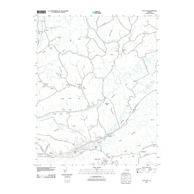 2010 Gate City2010 Print · USGSGate City and the surrounding Appalachian ridges were well-established rural hubs by the early twenty-first century. Researchers can trace family history through dozens of landmarks like Jayne Mill, the Slant Post Office, and the Solon Addington Cemetery.
 - 2010 Map of Kingsport, 2010 Print
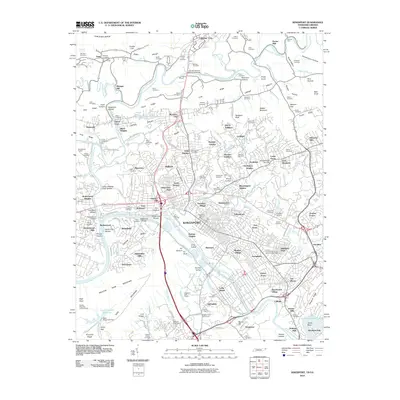 2010 Kingsport2010 Print · USGSKingsport and the surrounding Holston River valleys are shown here at a moment of continued growth and historic preservation. Researchers can trace family history through dozens of local sites like the Old Kingsport Cemetery, Depew Chapel, and Winegar Mill.
 - 2013 Map of Kingsport, 2013 Print
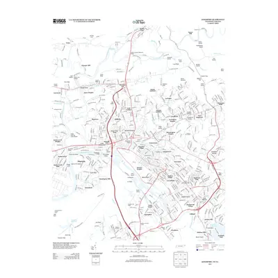 2013 Kingsport2013 Print · USGSKingsport and the Tennessee-Virginia borderlands appear here in the early twenty-first century as a bustling network of river-valley settlements. Trace local history through landmark sites like Winegar Mill, Civilian Conservation Corps Camp Number 2427, and Holston Springs.
 - 2013 Map of Gate City, 2013 Print
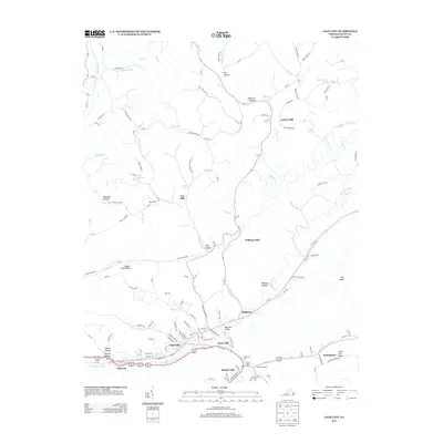 2013 Gate City2013 Print · USGSScott County, Virginia, in the early 21st century shows a landscape where industrial heritage and mountain geography meet. Genealogists and historians can trace the legacy of local milling at Carrico Mill and Jayne Mill, or explore established communities like Slabtown and Gate City.
 - 2016 Map of Kingsport, 2016 Print
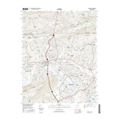 2016 Kingsport2016 Print · USGSKingsport and the Holston River forks are captured in this recent survey, showing the deep layering of industrial growth and local ancestry. Genealogists can trace family landmarks like Patton Hill Cemetery and the historic Winegar Mill, while the map documents the modern footprint of Borden Village.
 - 2016 Map of Gate City, 2016 Print
 2016 Gate City2016 Print · USGSGate City and Weber City are shown at a period of modern growth within the dramatic ridge-and-valley terrain of southwest Virginia. Genealogists can trace family heritage through numerous burial sites like Frederick Starnes Cem and historical mill sites including Cox Mill.
 - 2019 Map of Kingsport, 2019 Print
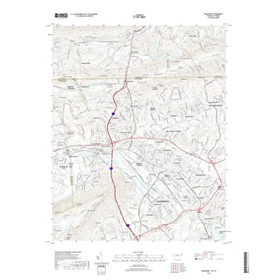 2019 Kingsport2019 Print · USGSKingsport and the surrounding Holston River valleys are shown here during a period of modern expansion. Researchers can trace the legacy of early river settlements and industry through landmarks like Old Kingsport, Winegar Mill, and the historic Fort Robinson.
 - 2019 Map of Gate City, 2019 Print
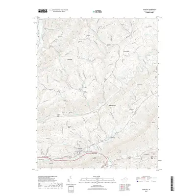 2019 Gate City2019 Print · USGSGate City and the surrounding Scott County ridges appear in detail during this recent survey of Appalachian Virginia. Researchers can trace ancestral roots through dozens of family burial grounds like Frederick Starnes Cem and locate historic processing sites such as Carrico Mill or Jayne Mill.
 - 2022 Map of Kingsport, 2022 Print
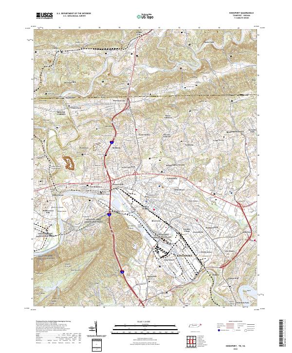 2022 Kingsport2022 Print · USGSKingsport and the Holston River forks are captured in the early 2020s, showing a landscape where modern industry meets deep Appalachian history. Genealogists and researchers can pinpoint family landmarks from Winegar Mill and Dorter Mill to the Old Kingsport Presbyterian Church.
 - 2022 Map of Gate City, 2022 Print
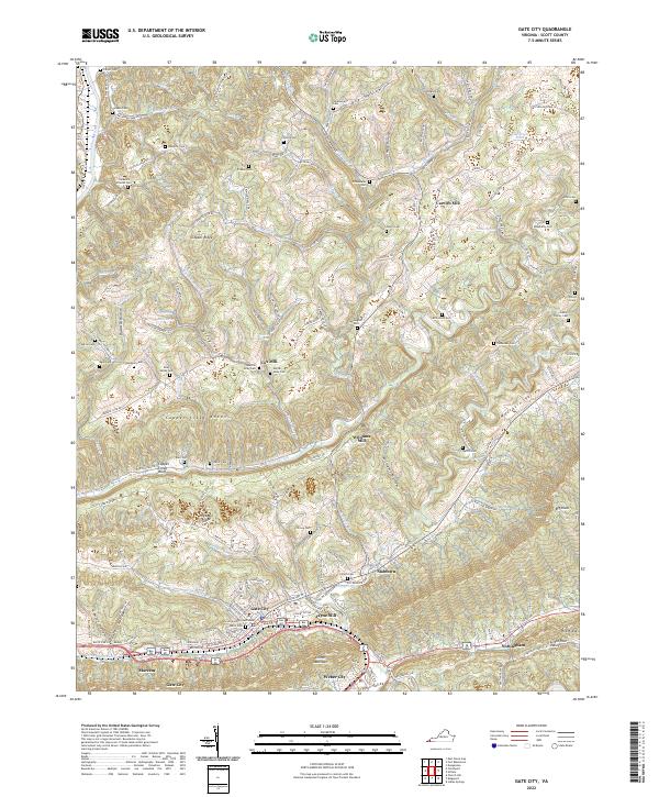 2022 Gate City2022 Print · USGSGate City and its surrounding valleys are mapped here in the early 2020s, showing the settled heart of Scott County. Genealogists can trace family heritage through local landmarks like Gibson Family Cem, Carrico Mill, and the Scott County Courthouse.
End of results
Showing maps 1-23 of 23
Top cities near Gate City
- Johnson City historical maps
- Kingsport historical maps
- Bloomingdale historical maps
- Church Hill historical maps
- Big Stone Gap historical maps
- Oak Grove historical maps
See more
Top neighborhoods of Gate City
Frequently asked questions
- What are the different types of historical maps available for Gate City?
- What is the oldest map of Gate City?
- Where can I purchase historical maps of Gate City for my home or office?
- Where can I download high-res historical maps of Gate City?
- Are there historical topographic maps available for Gate City?
- Is there historical aerial imagery available for Gate City?
- Where are historical maps of Gate City sourced from?