Old Maps of Mount Jackson, Virginia for Hiking & Exploration
Hike through history with 39 historic maps of Mount Jackson. Explore old trails, ghost towns, and forgotten backroads — perfect for outdoor adventurers and local explorers.
- Rediscover forgotten places: Map out old mining camps, roads, and footpaths that no longer exist on modern maps.
- Layer with modern tools: Combine with LiDAR or satellite views to plan hikes through historical terrain.
- Made for exploration: Popular among hikers, overlanders, and local history lovers.
Use these maps to find adventure and explore the hidden past of Mount Jackson.
Mount Jackson, VA maps
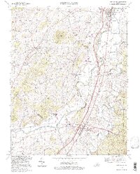
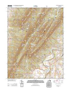
(39)- 1892 Map of Woodstock, 1898 Print
 1892 Woodstock1898 Print · USGSThe Shenandoah Valley in the 1890s is captured here as a landscape of river-driven towns and mountain iron furnaces. Researchers can trace family roots in Woodstock or Edinburg and locate historic industrial sites like Liberty Furnace and Columbia Furnace.5 unique versions available
 - 1923 Map of Edinburg
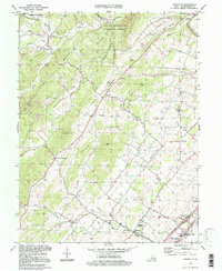
 1923 Edinburg1923 Print · USGSThe Virginia and West Virginia borderlands appear in the early twenties as a landscape of isolated mountain schools and forest lookouts. Genealogists can trace family footprints around the Heishman School and Mt Vernon Church or locate early settlements at Rockland and Perry.5 unique versions available
 - 1942 Map of Mt Jackson, 1959 Print
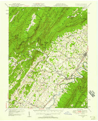
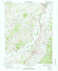
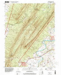
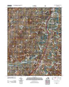
 1942 Mt Jackson1959 Print · USGSThe Shenandoah Valley during the early forties reveals a landscape defined by the towering Massanutten Mountain and the winding river forks. Researchers can trace historic industrial sites like Catherine Furnace, old schools such as Soliloquy Sch, and the grounds of Shenandoah Academy.2 unique versions available
 - 1946 Map of Mt Jackson
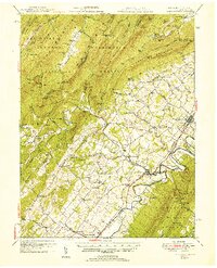
 1946 Mt Jackson1946 Print · USGSThe Shenandoah Valley during the mid-1940s reveals a landscape defined by the parallel forks of its famous river and the rising wall of Massanutten Mountain. Genealogists can trace family lines through sites like Riedlers Sch, Catherine Furnace, and Long Cem.2 unique versions available
 - 1947 Map of Mt Jackson
 1947 Mt Jackson1947 Print · USGSThe Shenandoah Valley during the 1940s is captured here, showing the dramatic ridges between the river forks. Genealogists and historians can trace community roots through sites like Woods Chapel, Plains Mill, and Shenandoah Academy near New Market.2 unique versions available
 - 1947 Map of Edinburg, 1958 Print
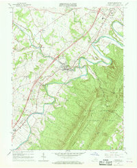
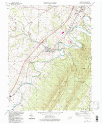
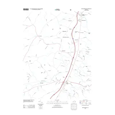
 1947 Edinburg1958 Print · USGSThe Shenandoah Valley is mapped here just after the war, showing the historic transportation spine between Woodstock and Mt Jackson. Researchers can trace rural life through landmarks like Columbia Furnace, Lantz Mills, and Union Forge Ch.2 unique versions available
 - 1949 Map of Charlottesville
 1949 Charlottesville1949 Print · USGSThe Shenandoah Valley and Blue Ridge appear in the late 1940s as a thriving corridor of rail and river commerce. Researchers can trace the mid-century footprints of Harrisonburg, Staunton, and Culpeper alongside the historic routes of the Southern Railway.2 unique versions available
 - 1951 Map of Edinburg
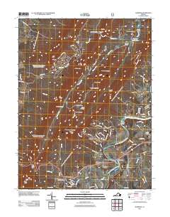
 1951 Edinburg1951 Print · USGSShenandoah County is shown here at the start of the 1950s, where the river valley and rail lines shaped a landscape of small towns and industrial history. Genealogists and historians can trace family locations through numerous rural sites like Lantz Mills, Sugar Hill Cem, and Pleasant Grove Sch.
 - 1956 Map of Charlottesville, 1966 Print
 1956 Charlottesville1966 Print · USGSThe Shenandoah Valley and Blue Ridge are captured in detail during the mid-1960s as the modern interstate system began to emerge. Genealogists and historians can trace rail-connected hubs like Waynesboro or follow the river paths of the Rapidan River and Rivanna River.4 unique versions available
 - 1966 Map of Edinburg, 1968 Print
 1966 Edinburg1968 Print · USGSMid-century Shenandoah Valley life is centered here on the winding river and the busy mountain gaps during the 1960s. Genealogists and historians can trace family roots through Cedarwood Cem, Hawkinstown, and local landmarks like Union Forge Ch.3 unique versions available
 - 1966 Map of Conicville, 1968 Print
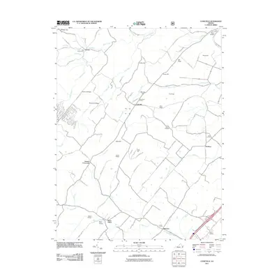
 1966 Conicville1968 Print · USGSShenandoah County in the mid-sixties reveals a landscape of ridge-and-valley settlements and early industrial sites. Genealogists can trace family roots through markers like Otterbein Chapel, the Old Iron Furnace, and the Confederate Unknown Memorial Cem.3 unique versions available
 - 1967 Map of New Market, 1968 Print
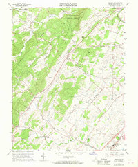
 1967 New Market1968 Print · USGSShenandoah Valley life in the mid-1960s centers on the river and rail corridors of Mt Jackson and New Market. Genealogists can trace family roots through numerous landmarks like Triplett Institute, Plains Mill, and Solomons Ch.3 unique versions available
 - 1967 Map of Hamburg, 1969 Print
 1967 Hamburg1969 Print · USGSThe river valley and mountain ridges of Page County come into focus during the late sixties. Genealogists and researchers can trace the historic river landings and rural churches including Whitehouse Landing, Woods Chapel, and the Mill Creek Ch.3 unique versions available
 - 1977 Map of New Market, 1983 Print
 1977 New Market1983 Print · USGSThe Shenandoah Valley comes into sharp focus in the late seventies, showing the traditional farming landscape and river crossings of the era. Genealogists and local historians can trace family locations near Quicksburg, Shavertown, and the banks of Smith Creek.
 - 1986 Map of Front Royal
 1986 Front Royal1986 Print · USGSThe northern Shenandoah Valley and the Blue Ridge crest are captured here in the mid-eighties as modern highways began to bypass historic valley towns. Researchers can trace ancestral connections near Peola Mills, navigate the gaps like Manassas Gap, or study the river bends around Luray.3 unique versions available
 - 1994 Map of Conicville, 1997 Print
 1994 Conicville1997 Print · USGSShenandoah County comes into focus in the mid-1990s, showing a landscape of ridge-top forests and valley hamlets. Genealogists and historians can locate family landmarks like St Jacobs Ch, the Confederate Unknown Memorial Cem, and the Old Iron Furnace.
 - 1994 Map of Edinburg, 1997 Print
 1994 Edinburg1997 Print · USGSThe Shenandoah Valley in the late twentieth century remains a landscape shaped by its river and ridges, from the streets of Edinburg to the heights of Powell Mountain. Genealogists and local historians can locate rural landmarks like Cedarwood Cem, Wesley Chapel, and the historic Massanutten Military Academy.
 - 1994 Map of New Market, 1997 Print
 1994 New Market1997 Print · USGSThe Shenandoah Valley during the late twentieth century remains a landscape of deep historical memory and agricultural tradition. Researchers can trace the heritage of New Market and Mt Jackson through sites like the New Market Battlefield, the Covered Bridge at Meems Bottom, and local landmarks like St Marks Ch.
 - 1997 Map of Hamburg, 2000 Print
 1997 Hamburg2000 Print · USGSPage County and the ridges of the Massanutten are captured here in the late nineties, showing a landscape defined by river bends and mountain gaps. Genealogists and local historians can trace family sites near Hamburg, Leaksville, and Whitehouse Landing along the river.
 - 2011 Map of Edinburg, 2011 Print
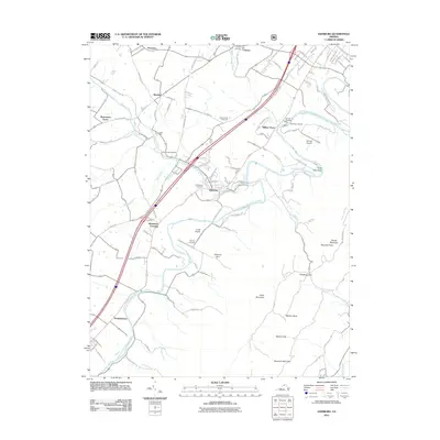 2011 Edinburg2011 Print · USGSCovers Mount Jackson, including Woodstock, Edinburg, and other nearby areas
 - 2011 Map of Hamburg, 2011 Print
 2011 Hamburg2011 Print · USGSCovers Mount Jackson, including Luray, Leaksville, and other nearby areas
 - 2011 Map of New Market, 2011 Print
 2011 New Market2011 Print · USGSCovers Mount Jackson, including New Market, Alpine, and other nearby areas
 - 2011 Map of Conicville, 2011 Print
 2011 Conicville2011 Print · USGSCovers Mount Jackson, including Mount Clifton, Hamburg, and other nearby areas
 - 2013 Map of New Market, 2013 Print
 2013 New Market2013 Print · USGSCovers Mount Jackson, including New Market, Alpine, and other nearby areas
 - 2013 Map of Hamburg, 2013 Print
 2013 Hamburg2013 Print · USGSCovers Mount Jackson, including Luray, Leaksville, and other nearby areas
Showing maps 1-25 of 39
Top cities near Mount Jackson
- Woodstock historical maps
- Luray historical maps
- Broadway historical maps
- New Market historical maps
- Timberville historical maps
- Basye historical maps
See more
Top neighborhoods of Mount Jackson
Frequently asked questions
- What are the different types of historical maps available for Mount Jackson?
- What is the oldest map of Mount Jackson?
- Where can I purchase historical maps of Mount Jackson for my home or office?
- Where can I download high-res historical maps of Mount Jackson?
- Are there historical topographic maps available for Mount Jackson?
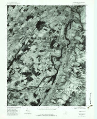
- Is there historical aerial imagery available for Mount Jackson?
- Where are historical maps of Mount Jackson sourced from?