Old Maps of Stony Battery, Virginia for Metal Detecting
Plan your next treasure hunt with 18 historic maps of Stony Battery. Find old homesites, ghost towns, trails, and gathering spots that may be lost to time — perfect for identifying promising metal detecting locations.
- Locate forgotten sites: Uncover places like long-lost settlements, abandoned rail lines, or gathering spots.
- Plan better hunts: Use map overlays combined with LiDAR or satellite views to narrow in on historically rich areas.
- Made for detectorists: Thousands of hobbyists use these maps to discover relics, coins, and hidden history.
Use these historic maps to boost your research and find new opportunities beneath the surface of Stony Battery.
Stony Battery, VA maps
(18)- 1891 Map of Abingdon
 1891 Abingdon1891 Print · USGSSouthwest Virginia in the 1890s reveals a landscape of mountain ridges and thriving valley settlements along the Norfolk and Western R. R. Lineages can be traced through sites like Emory and Henry College, Saltville, and numerous family-named landmarks like Vance's Mill.
 - 1894 Map of Abingdon, 1896 Print
 1894 Abingdon1896 Print · USGSSouthwest Virginia's valley and ridge country is captured here during the peak of the rail era, centered on the Abingdon and Marion corridors. Local historians can trace the foundations of Emory and Henry College and numerous rural mill sites like Belfast Mills or Vance's Mill.5 unique versions available
 - 1909 Map of Abingdon
 1909 Abingdon1909 Print · USGSSouthwest Virginia at the first decade's end shows a valley landscape defined by the iron rail and steep ridges. Genealogists and historians can trace the early layouts of Abingdon and Glade Spring, or locate landmarks like Dove Mills and the County Farm.2 unique versions available
 - 1911 Map of Abingdon
 1911 Abingdon1911 Print · USGSSouthwest Virginia's rugged corridors are captured here during the height of the mountain rail era. Genealogists and historians can trace old homesteads and local landmarks such as Whites Mill, Valley Church, and the County Farm near Abingdon.5 unique versions available
 - 1935 Map of Mount Rogers
 1935 Mount Rogers1935 Print · USGSThe high peaks of Grayson and Smyth Counties are documented here in the mid-1930s as the Appalachian Trail was being established across Mount Rogers. Genealogists and historians can trace the foundations of mountain life at Konnarock, the Iron Mountain Boys Sch, and Taylors Valley.
 - 1935 Map of Whitetop Mountain
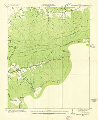 1935 Whitetop Mountain1935 Print · USGSThe high peaks of Southwest Virginia appear here in the mid-1930s, featuring the summits and gaps of the Blue Ridge. Researchers can trace the early route of the Appalachian Trail and locate mountain landmarks like Konnarock Sch, Elk Garden, and Stony Creek Ch.
 - 1939 Map of Mount Rogers
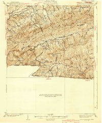 1939 Mount Rogers1939 Print · USGSThe Virginia and Tennessee borderlands come alive in this survey from the 1930s, showing the mountain communities and logging-era geography of the High Country. Researchers can locate the Konnarock Girls Sch, family-named mill sites like Loves Mill, and the early path of the Appalachian Trail.3 unique versions available
 - 1953 Map of Winston-Salem, 1974 Print
 1953 Winston-Salem1974 Print · USGSThe North Carolina Piedmont and Virginia highlands meet in the mid-1950s, a landscape defined by the tobacco and textile hubs of the Blue Ridge foothills. Researchers can trace the rail-and-river geography connecting Winston-Salem to mountain towns like Mount Airy and Galax.2 unique versions available
 - 1955 Map of Winston-Salem
 1955 Winston-Salem1955 Print · USGSThe Central Blue Ridge and Piedmont transition are captured here in the mid-fifties, from the industrial hub of Winston-Salem to the high peaks of Southwest Virginia. Genealogists can trace family landmarks like Richmond Hill Ch, Siloam Ch, and the old rail stops along the Southern Railway.
 - 1959 Map of Whitetop Mountain, 1960 Print
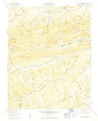 1959 Whitetop Mountain1960 Print · USGSThe high ridges of Smyth and Grayson Counties are captured here in the late fifties, dominated by the peaks of the Blue Ridge. Researchers can trace remote mountain genealogy through sites like Stony Battery, Rowland Creek Cem, and Bethel Ch.4 unique versions available
 - 1962 Map of Winston-Salem
 1962 Winston-Salem1962 Print · USGSThe North Carolina Piedmont meets the Virginia highlands in the early sixties, showing the rail corridors and mountain gaps of the southern Appalachians. Researchers can trace the Blue Ridge Parkway or locate family sites near Winston-Salem, Mount Airy, and Hanging Rock Mountain.
 - 1982 Map of Wytheville, 1983 Print
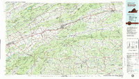 1982 Wytheville1983 Print · USGSSouthwest Virginia's ridge-and-valley landscape is shown here in the early 1980s as the Interstate era fully connected the region. Genealogists and historians can trace family locations near Emory and Henry College, the historic Austinville Mine, and settlements like Saltville or Lansing.3 unique versions available
 - 2000 Map of Whitetop Mountain, 2001 Print
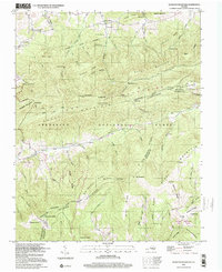 2000 Whitetop Mountain2001 Print · USGSHigh peaks and mountain gaps define the Virginia-Tennessee borderlands at the turn of the millennium. Researchers can trace the Appalachian Trail past Mt Rogers or locate rural landmarks like Rowland Creek Church and Stony Battery.
 - 2011 Map of Whitetop Mountain, 2011 Print
 2011 Whitetop Mountain2011 Print · USGSThe high ridges of Southwest Virginia appear here in the early twenty-first century, centered on the state's highest peaks. Researchers can locate family sites like Rowland Creek Cemetery and West Cemetery or trace the drainage of Big Laurel Creek.
 - 2013 Map of Whitetop Mountain, 2013 Print
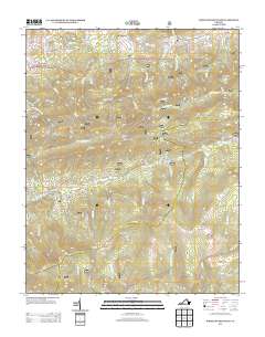 2013 Whitetop Mountain2013 Print · USGSMount Rogers and the surrounding high ridges are documented in this 2013 survey of southwest Virginia. Genealogists and hikers can trace the paths near Elk Garden, find the Grindstone Campground, or locate remote landmarks like Stony Battery and Buzzard Rock.
 - 2016 Map of Whitetop Mountain, 2016 Print
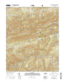 2016 Whitetop Mountain2016 Print · USGSThe high country of the Virginia Blue Ridge comes into focus in this mid-2010s survey, marking the intersection of three counties. Genealogists and hikers can trace remote burial grounds like Rowland Creek Cem or follow the Appalachian National Scenic Trail past Balsam Mtn.
 - 2019 Map of Whitetop Mountain, 2019 Print
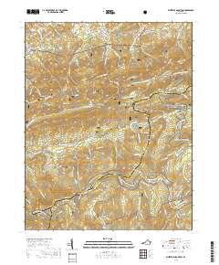 2019 Whitetop Mountain2019 Print · USGSThe high peaks of Southwest Virginia are preserved here in the late twenty-tens, showing the intersection of Smyth and Grayson Counties. Researchers can trace historic family burials at Rowland Creek Cem and follow the Appalachian National Scenic Trail past Whitetop Mountain and Buzzard Rock.
 - 2022 Map of Whitetop Mountain, 2022 Print
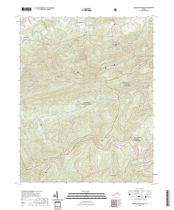 2022 Whitetop Mountain2022 Print · USGSThe Virginia Highlands are captured here in the early twenty-first century, featuring the high-elevation terrain of the Jefferson National Forest. Researchers can trace the Appalachian National Scenic Trl past landmarks like Mt Rogers and find historic family sites including Rowland Creek Cem.
End of results
Showing maps 1-18 of 18
Top cities near Stony Battery
- Marion historical maps
- Saltville historical maps
- Chilhowie historical maps
- Glade Spring historical maps
- Damascus historical maps
- Troutdale historical maps
Frequently asked questions
- What are the different types of historical maps available for Stony Battery?
- What is the oldest map of Stony Battery?
- Where can I purchase historical maps of Stony Battery for my home or office?
- Where can I download high-res historical maps of Stony Battery?
- Are there historical topographic maps available for Stony Battery?
- Is there historical aerial imagery available for Stony Battery?
- Where are historical maps of Stony Battery sourced from?