Old Maps of Warwick Corner, Virginia for Hiking & Exploration
Hike through history with 11 historic maps of Warwick Corner. Explore old trails, ghost towns, and forgotten backroads — perfect for outdoor adventurers and local explorers.
- Rediscover forgotten places: Map out old mining camps, roads, and footpaths that no longer exist on modern maps.
- Layer with modern tools: Combine with LiDAR or satellite views to plan hikes through historical terrain.
- Made for exploration: Popular among hikers, overlanders, and local history lovers.
Use these maps to find adventure and explore the hidden past of Warwick Corner.
Warwick Corner, VA maps
(11)- 1920 Map of Ivor
 1920 Ivor1920 Print · USGSCoastal plain life in Southampton and Isle of Wight counties is captured here just after the Great War, when rail and river travel still shaped the landscape. Genealogists can locate family landmarks like Tucker Swamp Church, Crumplers School, and Millfield Millpond.2 unique versions available
 - 1944 Map of Raynor, 1961 Print
 1944 Raynor1961 Print · USGSCoastal Virginia during the mid-1940s reveals a landscape defined by the winding Blackwater River and its vast marshlands. Genealogists and historians can locate rural crossroads like McClelland and study the sites of Godwin Sch or Mill Swamp Ch.
 - 1945 Map of Raynor
 1945 Raynor1945 Print · USGSIsle of Wight County remains a landscape of deep timber and blackwater swamps at the close of World War II. Researchers can locate family landmarks like Mill Swamp Ch and Cem, McClelland Sch, and crossroads at Gwaltney Crossroads.
 - 1953 Map of Norfolk, 1954 Print
 1953 Norfolk1954 Print · USGSCoastal Virginia and northeastern North Carolina appear here during the post-war industrial boom, showing the critical rail-and-sea connections of Hampton Roads. Genealogists can trace family roots through rural landmarks like Gethsemane Ch, the Caledonia State Prison Farm, and the vast interior of the Dismal Swamp.4 unique versions available
 - 1968 Map of Raynor, 1970 Print
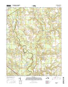
 1968 Raynor1970 Print · USGSIsle of Wight and Southampton counties are depicted in the late sixties as a landscape of interconnected wetlands and rural crossroads. Local historians can trace family locations near Raynor and Stotts Crossroads or find old community centers like Mill Swamp Ch.2 unique versions available
 - 1985 Map of Norfolk, 1986 Print
 1985 Norfolk1986 Print · USGSThe Tidewater region in the mid-eighties shows the dense urban expansion of the coastal cities alongside the preservation of the Great Dismal Swamp. Researchers can trace rural family-named crossroads and historic transit routes like the Seaboard Coast Line or find Somerton and Lake Drummond.3 unique versions available
 - 2010 Map of Raynor, 2010 Print
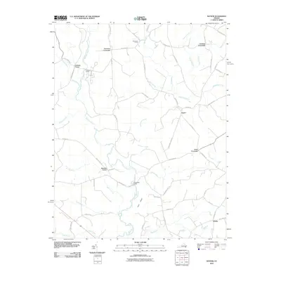 2010 Raynor2010 Print · USGSCovers Warwick Corner, including Whitley, Raynor, and other nearby areas
 - 2013 Map of Raynor, 2013 Print
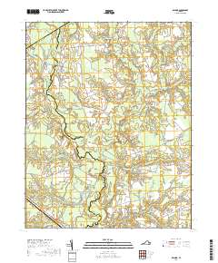
 2013 Raynor2013 Print · USGSCovers Warwick Corner, including Whitley, Raynor, and other nearby areas
 - 2016 Map of Raynor, 2016 Print
 2016 Raynor2016 Print · USGSCovers Warwick Corner, including Whitley, Raynor, and other nearby areas
 - 2019 Map of Raynor, 2019 Print
 2019 Raynor2019 Print · USGSCovers Warwick Corner, including Whitley, Raynor, and other nearby areas
 - 2022 Map of Raynor, 2022 Print
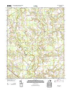
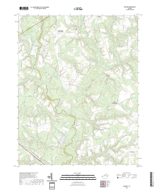 2022 Raynor2022 Print · USGSThe rural borders of Isle of Wight and Southampton counties are mapped here in the early twenty-first century, centered on the winding Blackwater River. Local historians can trace old community hubs at Sycamore Crossroads and Raynor, or locate family sites near Mill Swamp Cem.
End of results
Showing maps 1-11 of 11
Top cities near Warwick Corner
- Smithfield historical maps
- Windsor historical maps
- Courtland historical maps
- Rushmere historical maps
- Wakefield historical maps
- Sedley historical maps
See more
Frequently asked questions
- What are the different types of historical maps available for Warwick Corner?
- What is the oldest map of Warwick Corner?
- Where can I purchase historical maps of Warwick Corner for my home or office?
- Where can I download high-res historical maps of Warwick Corner?
- Are there historical topographic maps available for Warwick Corner?
- Is there historical aerial imagery available for Warwick Corner?
- Where are historical maps of Warwick Corner sourced from?