Old Maps of Eastover, Virginia for Genealogy
Trace your family roots with 12 historic maps of Eastover. These high-res maps reveal old neighborhoods, homesites, landmarks, and streets — helping you uncover where your ancestors lived and how the area evolved over time.
- Explore historic neighborhoods: Identify where your relatives may have lived in the 1800s or 1900s.
- Compare maps over time: Trace the changes in streets, buildings, and landmarks for multi-generational research.
- Perfect for genealogy & ancestry research: Used by family historians and researchers to map out lineage and migration.
These maps are an incredible resource for exploring your personal connection to Eastover's past.
Eastover, VA maps
(12)- 1919 Map of Suffolk
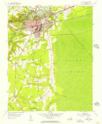
 1919 Suffolk1919 Print · USGSCoastal Virginia and the North Carolina borderlands are defined by the convergence of six major railroads at Suffolk during the late teens. Genealogists can trace family landmarks like Pauls Branch Church and the Franklin Grove School along the edge of the Dismal Swamp.3 unique versions available
 - 1953 Map of Norfolk, 1954 Print
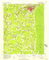
 1953 Norfolk1954 Print · USGSCoastal Virginia and northeastern North Carolina appear here during the post-war industrial boom, showing the critical rail-and-sea connections of Hampton Roads. Genealogists can trace family roots through rural landmarks like Gethsemane Ch, the Caledonia State Prison Farm, and the vast interior of the Dismal Swamp.4 unique versions available
 - 1954 Map of Suffolk, 1956 Print
 1954 Suffolk1956 Print · USGSMid-century Suffolk and the surrounding Nansemond County lowlands are captured here at a peak of rail industry. Researchers can trace the paths of the Jericho Canal into the Dismal Swamp or locate local landmarks like Skeeter Crossing and Brown Sch.2 unique versions available
 - 1954 Map of Suffolk, 1958 Print
 1954 Suffolk1958 Print · USGSThe rail and river hub of Suffolk met the edge of the Great Dismal Swamp in the mid-1950s. Historians and genealogists can trace the early layout of Whaleyville, the transit routes through Buckhorn, and local landmarks like Liberty Spring Ch.2 unique versions available
 - 1977 Map of Suffolk, 1978 Print
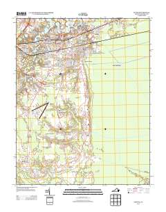
 1977 Suffolk1978 Print · USGSSoutheastern Virginia at the end of the seventies shows the urban center of Suffolk emerging from its surrounding swamps and timberlands. Local historians can trace the rail network of the Norfolk and Western RR or locate rural landmarks like Oak Grove Ch and the historic Skeetertown settlement.
 - 1985 Map of Norfolk, 1986 Print
 1985 Norfolk1986 Print · USGSThe Tidewater region in the mid-eighties shows the dense urban expansion of the coastal cities alongside the preservation of the Great Dismal Swamp. Researchers can trace rural family-named crossroads and historic transit routes like the Seaboard Coast Line or find Somerton and Lake Drummond.3 unique versions available
 - 1997 Map of Suffolk, 1999 Print
 1997 Suffolk1999 Print · USGSSuffolk and the western edge of the Great Dismal Swamp are captured here in the late nineties as a landscape defined by rail lines and historic wetlands. Researchers can trace local heritage through sites like Cedar Hill Cem, the B T Washington High Sch, and the network of canals like Jericho Ditch.
 - 2010 Map of Suffolk, 2010 Print
 2010 Suffolk2010 Print · USGSCovers Eastover, including Suffolk, Boston, and other nearby areas
 - 2013 Map of Suffolk, 2013 Print
 2013 Suffolk2013 Print · USGSCovers Eastover, including Suffolk, Boston, and other nearby areas
 - 2016 Map of Suffolk, 2016 Print
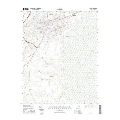 2016 Suffolk2016 Print · USGSCovers Eastover, including Suffolk, Boston, and other nearby areas
 - 2019 Map of Suffolk, 2019 Print
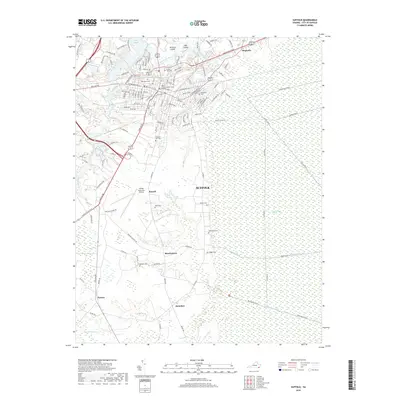 2019 Suffolk2019 Print · USGSCovers Eastover, including Suffolk, Boston, and other nearby areas
 - 2022 Map of Suffolk, 2022 Print
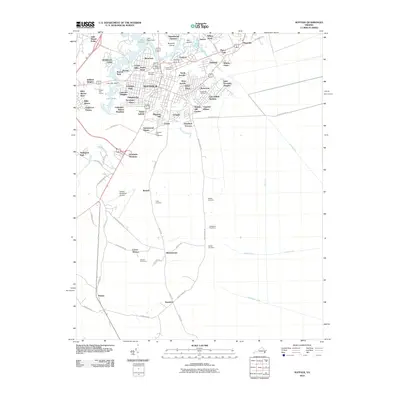
 2022 Suffolk2022 Print · USGSThe Great Dismal Swamp and the city of Suffolk are captured in this contemporary survey of Virginia’s Tidewater region. Researchers can trace family history at Cedar Hill Cem or locate the historic bounds of rural settlements like Skeetertown and Magnolia.
End of results
Showing maps 1-12 of 12
Top cities near Eastover
- Suffolk historical maps
- Smithfield historical maps
- Carrollton historical maps
- Windsor historical maps
- Benns Church historical maps
Frequently asked questions
- What are the different types of historical maps available for Eastover?
- What is the oldest map of Eastover?
- Where can I purchase historical maps of Eastover for my home or office?
- Where can I download high-res historical maps of Eastover?
- Are there historical topographic maps available for Eastover?
- Is there historical aerial imagery available for Eastover?
- Where are historical maps of Eastover sourced from?