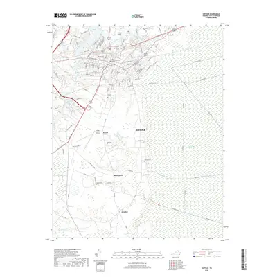
2019 Map of Suffolk
USGS Topo · Published 2019About this map
The Great Dismal Swamp dominates the eastern landscape of this Suffolk survey, defined by an intricate network of historical waterways such as Washington Ditch, Jericho Ditch, and Lynn Ditch. These artificial channels reveal the long-standing efforts to manage the hydrology of this unique environment. Adjacent to this wilderness, the expansion of modern infrastructure is evident at the Suffolk Executive Airport and through the residential clusters of Russell, Skeetertown, and Saunders.
Find a feature on this map
130 named features on this map. Tap any name to fly to it.
Don’t see what you’re looking for? This feature index may not catch every label — zoom into the map to look around manually.
Map Details
Editions of this 2019 Suffolk Map
This is the sole edition of this map. No revisions or reprints were ever made.
Other maps of this area

1907 · Norfolk
USGS Topo · 1:125,000

1919 · Smithfield
USGS Topo · 1:62,500

1919 · Suffolk
USGS Topo · 1:62,500

1921 · Newport News
USGS Topo · 1:62,500

1940 · Lake Drummond
USGS Topo · 1:62,500

1944 · Windsor
USGS Topo · 1:31,680

1945 · Lake Drummond
USGS Topo · 1:62,500

1949 · Chuckatuck
USGS Topo · 1:24,000
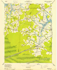
1952 · Bowers Hill
USGS Topo · 1:24,000

1953 · Norfolk
USGS Topo · 1:250,000