Old Maps of Eastover, Virginia
Explore 15 old maps of Eastover, spanning from 1919 to today. These high-resolution historic maps reveal how streets, neighborhoods, landmarks, and natural features evolved over time — perfect for genealogy, metal detecting, research, and local history exploration.
What you can do with these maps:
- See how Eastover changed over time: Compare historical maps to modern-day views to trace roads, homesites, rail lines & more.
- View detailed metadata: Each map includes creators, publishers, year, scale, and archive source.
- Overlay maps with satellite & LiDAR: Visualize the past alongside modern tools to explore terrain & human change.
- Trusted historical sources: Maps sourced from the USGS, Library of Congress, and other archives.
- Access maps your way: View online, download high-res files, or order prints for personal or research use.
Start exploring old maps of Eastover to uncover forgotten places, hidden landmarks, and the deep history beneath your feet.
Eastover, VA maps
(15)- 1919 Map of Surry
 1919 Surry1919 Print · USGSSurry County and the James River tidewater are captured in the late teens, when timber and steamboats still drove the local economy. Researchers can locate vanished landmarks like Spratleys Mill, the Old Courthouse, and numerous schoolhouses including Rough School and Cypress School.3 unique versions available
 - 1943 Map of Richmond, 1972 Print
 1943 Richmond1972 Print · USGSCoastal Virginia and the state capital are shown in detail during the mid-century era of infrastructure expansion. Genealogists and historians can trace the grounds of Richmond Nat Battlefield Park, locate the Yorktown Nat Cem, or follow the many rural routes through Amelia Court House and Tappahannock.
 - 1949 Map of Richmond, 1951 Print
 1949 Richmond1951 Print · USGSCoastal Virginia in the years following World War II remained a landscape of historic river towns and expanding military bases. Genealogists and historians can trace the rail lines of the Southern Ry and locate established landmarks from Camp Lee to the remote reaches of Dragon Swamp.
 - 1954 Map of Claremont, 1957 Print
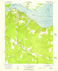 1954 Claremont1957 Print · USGSSurry County river life and crossroads farming define this mid-fifties landscape along the James River. Genealogists and local historians can trace the foundations of Claremont, locate the Spring Grove Sch, and find family sites like Debricks Cem.
 - 1959 Map of Richmond
 1959 Richmond1959 Print · USGSMid-century Virginia is captured here at its most vital rail and river junctions, from the capital city to the Chesapeake Bay. Genealogists and historians can trace the development of colonial settlements like Williamsburg and military landmarks including Fort Monroe and Camp Lee.
 - 1964 Map of Richmond
 1964 Richmond1964 Print · USGSCoastal and central Virginia are mapped during the mid-twentieth century, showing the critical intersection of rail, river, and military life. Genealogists can trace family roots through rural county seats like Amelia or find vanished coastal neighborhoods near Phoebus and Hilton Village.
 - 1966 Map of Claremont
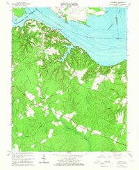 1966 Claremont1966 Print · USGSThe James River shoreline and Surry County interior are captured here during the mid-sixties as the region maintained its rural character. Genealogists and historians can locate family landmarks such as Claremont Manor, the Mercy Seat Ch, and remnants of an Old Railroad Grade.4 unique versions available
 - 1973 Map of Richmond, 1974 Print
 1973 Richmond1974 Print · USGSThe Virginia Tidewater and Piedmont come alive in the early seventies, showcasing a region defined by its great rivers and massive military installations. Researchers can trace the mid-century growth of Richmond or locate family sites near Amelia Court House and Highland Springs.2 unique versions available
 - 1978 Map of Claremont, 1983 Print
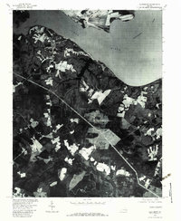 1978 Claremont1983 Print · USGSSurry County's riverfront landscape is captured in the late seventies, showing the confluence of the James River and Chickahominy River. Trace the layout of Claremont, the estates at Claremont Manor, and the winding Cypress Swamp.
 - 1984 Map of Williamsburg, 1985 Print
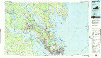 1984 Williamsburg1985 Print · USGSThe Virginia Peninsula and Chesapeake Bay shores are shown in the mid-1980s, revealing a landscape defined by colonial heritage and massive military installations. Researchers can trace the grounds of the College of William and Mary, the Yorktown National Cemetery, and the historic Jamestown Island.3 unique versions available
 - 2011 Map of Claremont, 2011 Print
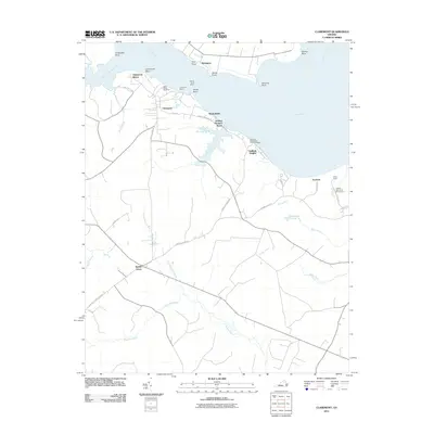 2011 Claremont2011 Print · USGSThe southern banks of the James River are captured in the early twenty-first century as the Chickahominy joins the main channel. Researchers can trace riverfront landmarks like Claremont Wharf, find Saint Annes Cemetery, and explore the marshes of Cypress Swamp.
 - 2013 Map of Claremont, 2013 Print
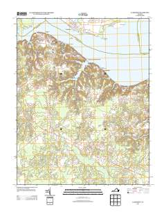 2013 Claremont2013 Print · USGSSurry County's riverfront comes into focus in the early twenty-first century, showing the transition from the James River bluffs to the deep swamps of the interior. Researchers can trace the layout of Claremont Manor, locate the Claremont Wharf, and explore the shoreline from Sunken Meadow Beach to the Pipsico Boy Scout Reservation.
 - 2016 Map of Claremont, 2016 Print
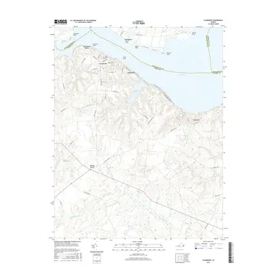 2016 Claremont2016 Print · USGSSurry County's riverfront and interior wetlands are captured in detail during this modern survey of the Tidewater region. Genealogists and local historians can locate Claremont Manor, trace the grounds of Saint Anne's Cem, or explore the reaches of Sunken Meadow Lake.
 - 2019 Map of Claremont, 2019 Print
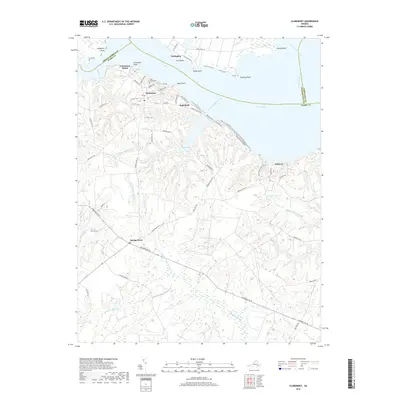 2019 Claremont2019 Print · USGSSurry County's riverfront and wooded interior are captured here in the late 2010s, showing the intersection of the James River and Chickahominy River. Local historians can trace established estates and settlements such as Claremont Manor, Tettington, and Spring Grove.
 - 2022 Map of Claremont, 2022 Print
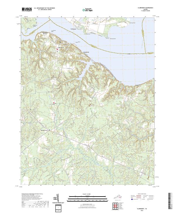 2022 Claremont2022 Print · USGSCoastal Virginia's riverfront heritage is on display here at the turn of the decade, centered on the historic James River crossing points. Genealogists and local historians can trace the roads around Claremont, locate Saint Anne's Cem, and explore the marshes of Cypress Swamp.
End of results
Showing maps 1-15 of 15
Top cities near Eastover
- Williamsburg historical maps
- Waverly historical maps
- Rushmere historical maps
- Wakefield historical maps
- Claremont historical maps
- Dendron historical maps
See more
Frequently asked questions
- What are the different types of historical maps available for Eastover?
- What is the oldest map of Eastover?
- Where can I purchase historical maps of Eastover for my home or office?
- Where can I download high-res historical maps of Eastover?
- Are there historical topographic maps available for Eastover?
- Is there historical aerial imagery available for Eastover?
- Where are historical maps of Eastover sourced from?