Old Maps of Creeds, Virginia for Metal Detecting
Plan your next treasure hunt with 11 historic maps of Creeds. Find old homesites, ghost towns, trails, and gathering spots that may be lost to time — perfect for identifying promising metal detecting locations.
- Locate forgotten sites: Uncover places like long-lost settlements, abandoned rail lines, or gathering spots.
- Plan better hunts: Use map overlays combined with LiDAR or satellite views to narrow in on historically rich areas.
- Made for detectorists: Thousands of hobbyists use these maps to discover relics, coins, and hidden history.
Use these historic maps to boost your research and find new opportunities beneath the surface of Creeds.
Creeds, VA maps
(11)- 1939 Map of Moyock, 1959 Print
 1939 Moyock1959 Print · USGSThe Virginia and North Carolina borderlands come to life in this pre-war survey of the tidewater region, where the Intracoastal Waterway meets the coastal swamps. Researchers can trace family roots through numerous landmarks like Moyock Cem, Pungo Ferry, and the Willow Grove Sch.
 - 1946 Map of Moyock
 1946 Moyock1946 Print · USGSThe Virginia and North Carolina borderlands come alive in the mid-1940s, showing a landscape of rail-connected crossroads and tidal waterways. Genealogists can locate family landmarks like Moyock Cem, St Brides, and the Willow Grove Sch.2 unique versions available
 - 1953 Map of Norfolk, 1954 Print
 1953 Norfolk1954 Print · USGSCoastal Virginia and northeastern North Carolina appear here during the post-war industrial boom, showing the critical rail-and-sea connections of Hampton Roads. Genealogists can trace family roots through rural landmarks like Gethsemane Ch, the Caledonia State Prison Farm, and the vast interior of the Dismal Swamp.4 unique versions available
 - 1954 Map of Creeds, 1956 Print
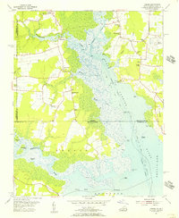 1954 Creeds1956 Print · USGSCoastal Virginia and North Carolina are mapped here in the mid-1950s, showing the intersection of river life and rural farming. Researchers can trace family roots at Kala Ch, find the location of the Creeds Sch, or locate the Creeds Field (Abandoned).4 unique versions available
 - 1977 Map of Creeds, 1979 Print
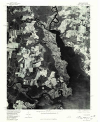 1977 Creeds1979 Print · USGSThe Virginia and North Carolina borderlands come to life in this late 1970s aerial survey. Researchers can trace the layout of coastal settlements like Creeds and Munden alongside the marshes of the North Landing River.
 - 1985 Map of Norfolk, 1986 Print
 1985 Norfolk1986 Print · USGSThe Tidewater region in the mid-eighties shows the dense urban expansion of the coastal cities alongside the preservation of the Great Dismal Swamp. Researchers can trace rural family-named crossroads and historic transit routes like the Seaboard Coast Line or find Somerton and Lake Drummond.3 unique versions available
 - 2011 Map of Creeds, 2011 Print
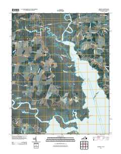 2011 Creeds2011 Print · USGSCoastal Virginia and North Carolina appear in this early 21st-century record of the marshlands near the North Landing River. Researchers can trace local lineage at Oak Grove Cemetery or explore the historic riverfronts at Pungo Ferry and Munden Point.
 - 2013 Map of Creeds, 2013 Print
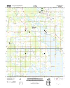 2013 Creeds2013 Print · USGSThe coastal wetlands and rural crossroads of the Virginia-North Carolina border are captured here in the early twenty-first century. Researchers can trace local landmarks like Pungo Ferry, Bingo Berry Marina, and the small community of Creeds.
 - 2016 Map of Creeds, 2016 Print
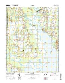 2016 Creeds2016 Print · USGSCoastal Virginia meets the North Carolina line in this study of the marshy interior near Creeds and the North Landing River. Genealogists can trace family names at Blackwater Cem or locate old landings at Munden Point.
 - 2019 Map of Creeds, 2019 Print
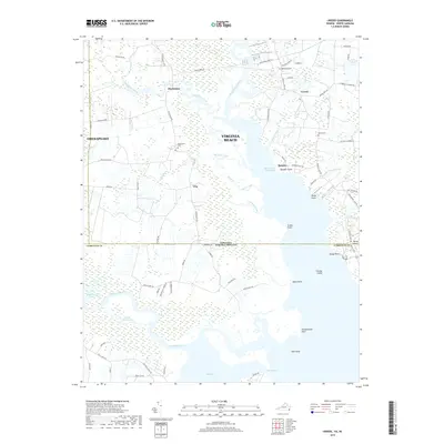 2019 Creeds2019 Print · USGSThe Virginia and North Carolina borderlands come into focus in this recent survey of the coastal marsh and river systems. Researchers can trace family roots at Oak Grove Cem and Blackwater Cem or explore the waterfront history of Munden and Walke Point.
 - 2022 Map of Creeds, 2022 Print
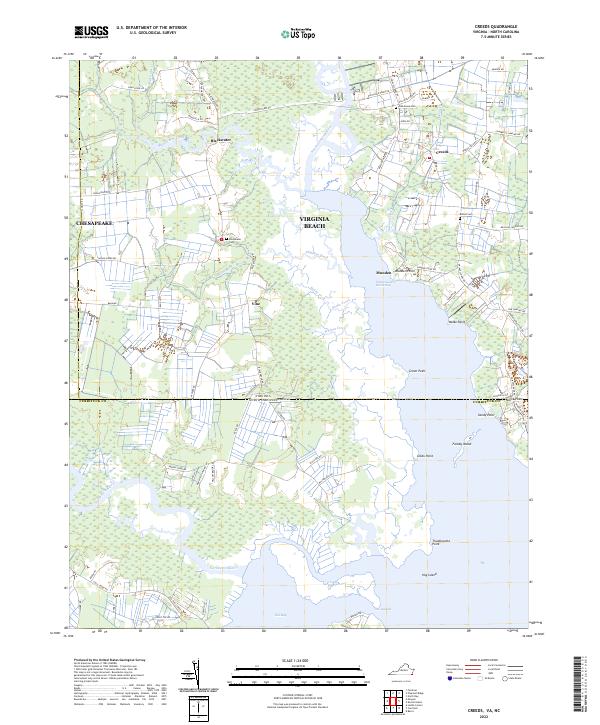 2022 Creeds2022 Print · USGSCoastal Virginia and North Carolina meet in this recent survey of the tidal marshes and waterways south of Virginia Beach. Researchers can trace family sites at Oak Grove Cem or follow the Intracoastal Waterway past Munden and Faraby Island.
End of results
Showing maps 1-11 of 11
Frequently asked questions
- What are the different types of historical maps available for Creeds?
- What is the oldest map of Creeds?
- Where can I purchase historical maps of Creeds for my home or office?
- Where can I download high-res historical maps of Creeds?
- Are there historical topographic maps available for Creeds?
- Is there historical aerial imagery available for Creeds?
- Where are historical maps of Creeds sourced from?