Old Maps of False Cape Landing, Virginia for Academic Research
Study the evolution of False Cape Landing with 15 high-resolution historic maps. Whether you're teaching, researching, or modeling changes in land use, these maps provide essential visual documentation of urban, environmental, and geographic change.
- Analyze long-term change: Track patterns in development, transportation, and natural features.
- Ideal for environmental or urban studies: Support academic projects with primary historical map data.
- Use in the classroom or lab: Educators and researchers rely on these maps to bring historical context to life.
These maps are a powerful tool for teaching, research, and visualizing how False Cape Landing has changed over the decades.
False Cape Landing, VA maps
(15)- 1893 Map of Virginia Beach
 1893 Virginia Beach1893 Print · USGSThe Virginia and North Carolina coastline is shown here in the early 1890s, long before modern development transformed the Outer Banks. Researchers can trace the original chain of Life Saving Stations along the shore from Cape Henry down to False Cape.
 - 1916 Map of Back Bay
 1916 Back Bay1916 Print · USGSThe Virginia-North Carolina coast and the shallow reaches of Back Bay appear here in the early twentieth century. Researchers can trace the line of coastal outposts like the False Cape Life Saving Sta. and the early layout of Knotts Island.
 - 1943 Map of Back Bay
 1943 Back Bay1943 Print · USGSThe coastal border between Virginia and North Carolina is documented here in the early 1940s, showing a world of maritime landings and game refuges. Trace family roots at Sigma or Dawley Corners and locate old service sites like the CCC Camp and False Cape Landing.
 - 1946 Map of Eastville, 1971 Print
 1946 Eastville1971 Print · USGSCoastal Virginia and the Outer Banks are captured here during a period of expanding naval and aerospace presence. Researchers can trace the path of the Penn Central railroad through Chincoteague and Modest Town, or locate landmarks like the Wright Brothers National Memorial.
 - 1946 Map of Currituck Sound, 1980 Print
 1946 Currituck Sound1980 Print · USGSThe Virginia and North Carolina coastline appears in detail during the mid-twentieth century as a network of maritime villages and military outposts. Genealogists and local historians can trace family locations from Virginia Beach south to Kitty Hawk, including landmarks like the Currituck Beach Lighthouse and the Wright Brothers National Memorial.
 - 1954 Map of Knotts Island, 1956 Print
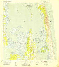 1954 Knotts Island1956 Print · USGSThe Virginia and North Carolina borderlands come alive in this mid-century coastal survey of the Back Bay. Genealogists can trace family names across Knotts Island, Deal Island, and Simpson Neck, or locate landmarks like Knotts Island Ch.3 unique versions available
 - 1961 Map of Eastville
 1961 Eastville1961 Print · USGSThe Eastern Shore and Outer Banks are captured here in the mid-twentieth century, showing a maritime landscape of lighthouses, rail-linked towns, and naval outposts. Researchers can trace the Pennsylvania Railroad through Parksley or locate historical sites like Chincoteague Field Naval Auxiliary Air Station and Tangier Island.
 - 1966 Map of Eastville
 1966 Eastville1966 Print · USGSThe Delmarva Peninsula and Outer Banks appear in the mid-sixties, showing a landscape of maritime trade, military outposts, and fishing villages. Researchers can trace the lines of the Norfolk & Southern through Exmore and Parksley or locate historical sites like Fort John Custis and the Janes Island Lighthouse.
 - 1985 Map of Virginia Beach
 1985 Virginia Beach1985 Print · USGSThe Virginia and North Carolina coastline in the mid-eighties shows a landscape of strategic naval bases and expansive wildlife refuges. Trace the development of Sandbridge Beach, locate inland points like Dawley Corners, and explore the marshes of Back Bay.
 - 1990 Map of Virginia Beach
 1990 Virginia Beach1990 Print · USGSThe Virginia and North Carolina coastline in the early nineties showcases a landscape of naval installations and protected wildlife corridors. Genealogists and historians can trace the development of Virginia Beach alongside older communities like Dawley Corners and Sigma.
 - 2010 Map of Knotts Island, 2010 Print
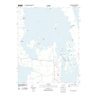 2010 Knotts Island2010 Print · USGSKnotts Island and the Currituck Sound marshes are captured in the early twenty-first century as a labyrinth of islands and landings. Trace local family geography and coastal access points from Knotts Island Post Office to Campbells Landing and Corys.
 - 2013 Map of Knotts Island, 2013 Print
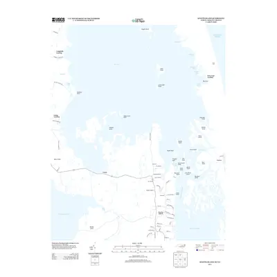 2013 Knotts Island2013 Print · USGSNorth Carolina's outer coastal marshes and the isolated community of Knotts Island are meticulously documented in this early twenty-first-century survey. Genealogists and local historians can trace family properties and landings near Corys, Woodleigh, and the historic Mackay Island.
 - 2016 Map of Knotts Island, 2016 Print
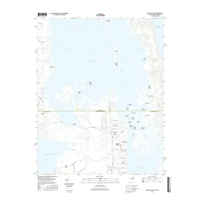 2016 Knotts Island2016 Print · USGSCoastal North Carolina meets the Virginia border in this mid-2010s survey of the Currituck Sound's intricate marshes and island chains. You can trace the residential development along Knotts Island Rd and locate family landmarks like Henry Simpson Ln or the Live Oak Point Trail.
 - 2019 Map of Knotts Island, 2019 Print
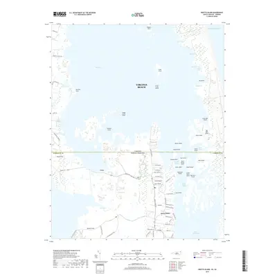 2019 Knotts Island2019 Print · USGSThe coastal border between North Carolina and Virginia is defined by marshy expanses and scattered island settlements in the late 2010s. Researchers can trace land tracts and local routes like Knotts Island Rd and find coastal landmarks such as Mackay Island, Corys, and Morse Point.
 - 2022 Map of Knotts Island, 2022 Print
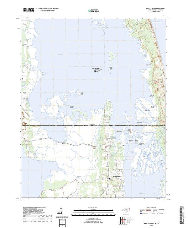 2022 Knotts Island2022 Print · USGSIn the early 2020s, the maritime landscape of Currituck County remains a intricate web of marshes and sounds. Researchers can trace land tracts near Knotts Island Cem, the winding Live Oak Point Trl, and the small community of Corys.
End of results
Showing maps 1-15 of 15
Frequently asked questions
- What are the different types of historical maps available for False Cape Landing?
- What is the oldest map of False Cape Landing?
- Where can I purchase historical maps of False Cape Landing for my home or office?
- Where can I download high-res historical maps of False Cape Landing?
- Are there historical topographic maps available for False Cape Landing?
- Is there historical aerial imagery available for False Cape Landing?
- Where are historical maps of False Cape Landing sourced from?