Old Maps of Maple Grove, Virginia for Academic Research
Study the evolution of Maple Grove with 17 high-resolution historic maps. Whether you're teaching, researching, or modeling changes in land use, these maps provide essential visual documentation of urban, environmental, and geographic change.
- Analyze long-term change: Track patterns in development, transportation, and natural features.
- Ideal for environmental or urban studies: Support academic projects with primary historical map data.
- Use in the classroom or lab: Educators and researchers rely on these maps to bring historical context to life.
These maps are a powerful tool for teaching, research, and visualizing how Maple Grove has changed over the decades.
Maple Grove, VA maps
(17)- 1889 Map of Fredericksburg
 1889 Fredericksburg1889 Print · USGSThe Tidewater region of Virginia and Maryland comes into focus in the late 1880s, centered on the river-and-rail hub of Fredericksburg. Genealogists can trace early landmarks like Rappahannock Academy, Bull Church, and Saunders Wharf.
 - 1892 Map of Fredericksburg
 1892 Fredericksburg1892 Print · USGSCoastal Virginia and Maryland are captured here in the late nineteenth century, showing a landscape of river-port towns and historic crossroads. Researchers can locate vanished landmarks and family sites like Rappahannock Academy, Whites Mill, and the riverside Port Royal.
 - 1894 Map of Fredericksburg
 1894 Fredericksburg1894 Print · USGSThe Tidewater and Piedmont regions of Virginia meet in the late nineteenth century at the head of the Rappahannock River. Local historians can trace early inland commerce through rural centers like Nindes Store, the Rappahannock Academy, and Stafford.10 unique versions available
 - 1944 Map of Nanjemoy
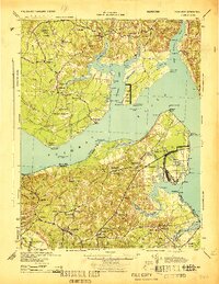 1944 Nanjemoy1944 Print · USGSMaryland and Virginia meet across the Potomac River during the 1940s, showing a region defined by naval operations and rural tidewater life. Researchers can trace military footprints at Dahlgren and Blossom Point Proving Ground or find old community centers like Nindes Store and Oak Grove Sch.
 - 1948 Map of Washington
 1948 Washington1948 Print · USGSThe Potomac and Chesapeake regions in the late 1940s reveal a landscape of expanding military reach and deep-rooted Tidewater settlements. Trace old rail corridors like the Richmond Fredericksburg & Potomac RR or locate landmarks like the Wakefield Washington Monument and St. Marys College.2 unique versions available
 - 1948 Map of Nanjemoy
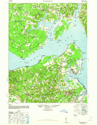 1948 Nanjemoy1948 Print · USGSThe Potomac River tidewater region is captured here in the years following World War II, showing the rural communities of Charles County and King George County. Trace old family locales and infrastructure from Nindes Store and Grayton PO to the NAVAL PROVING GROUND.2 unique versions available
 - 1955 Map of Dahlgren, 1956 Print
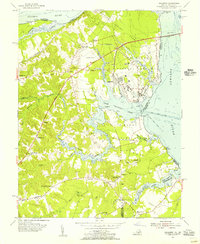 1955 Dahlgren1956 Print · USGSThe Virginia shoreline of the Potomac is shown here during the mid-fifties, dominated by military development and rural river towns. Genealogists and local historians can trace family roots through sites like Little Ark Ch, Spy Hill Cem, and the village of Tetotum.
 - 1957 Map of Washington, 1966 Print
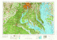 1957 Washington1966 Print · USGSThe mid-Atlantic region during the mid-fifties and early sixties reveals a landscape of growing suburbs and vital military outposts. Researchers can trace historic river towns and shorelines from Alexandria to the Hooper Islands and St Clements Island.5 unique versions available
 - 1961 Map of Washington
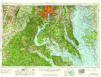 1961 Washington1961 Print · USGSThe mid-Atlantic region in the late fifties is presented in remarkable detail, from the Blue Ridge foothills to the Chesapeake Eastern Shore. Researchers can trace historic river landings and military sites like Mount Vernon, Fort Belvoir, and Point Lookout.2 unique versions available
 - 1968 Map of Dahlgren, 1972 Print
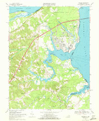 1968 Dahlgren1972 Print · USGSThe northern neck of Virginia in the late sixties reveals a landscape of high-tech naval defense and deep-rooted rural communities. Trace the grounds of the Dahlgren Weapons Laboratory or locate family sites like Bumbry Cem and Carruthers Corner.2 unique versions available
 - 1983 Map of Fredericksburg, 1984 Print
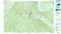 1983 Fredericksburg1984 Print · USGSThe Virginia and Maryland tidewater region comes into sharp focus during the early 1980s, centered on the historic Rappahannock and Potomac river valleys. Researchers can trace the boundaries of the Fredericksburg-Spotsylvania National Military Park alongside growing residential areas and military sites like Fort A.P. Hill Military Reservation.2 unique versions available
 - 1989 Map of Washington
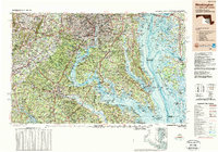 1989 Washington1989 Print · USGSThe Potomac River valley and Chesapeake Bay are shown in comprehensive detail during the late 1980s. Genealogists and historians can trace the transition from urban Alexandria to the rural Northern Neck, locating landmarks like Mount Vernon and Stratford Hall.
 - 2011 Map of Dahlgren, 2011 Print
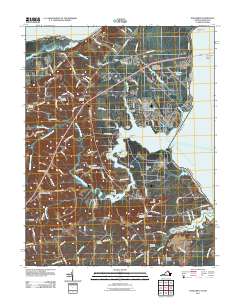 2011 Dahlgren2011 Print · USGSDahlgren and the Potomac River shoreline appear here in the early twenty-first century as a mix of naval history and old river landings. Genealogists can trace family roots through numerous burial grounds like Little Ark Cemetery or Union Bethel Cemetery, while watermen can locate Frank Landing and Berrys Wharf.
 - 2013 Map of Dahlgren, 2013 Print
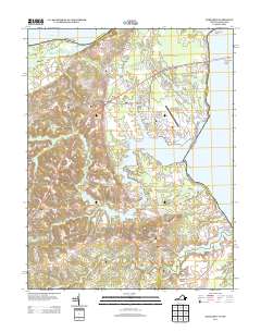 2013 Dahlgren2013 Print · USGSThe Potomac River waterfront in the early twenty-first century is dominated by naval facilities and long-standing river landings. Genealogists and historians can trace family-named points and settlements like Pumpkin Neck, Howland Point, and the Oyster Shell Landing along Upper Machodoc Cr.
 - 2016 Map of Dahlgren, 2016 Print
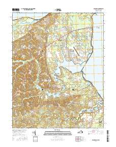 2016 Dahlgren2016 Print · USGSCoastal Virginia and the Potomac shoreline are shown in detail as they appeared during the mid-2010s. Local researchers can trace family connections through sites like Little Ark Cem, Bumbrey Cem, and the rural crossroads of Tetotum and Owens.
 - 2019 Map of Dahlgren, 2019 Print
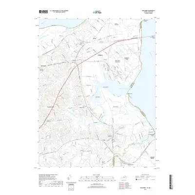 2019 Dahlgren2019 Print · USGSThe Potomac shoreline in the late 2010s shows a unique mix of naval operations and deep-seated rural tradition. Researchers can locate numerous historic burial grounds and congregations such as Spy Hill Cem and the Union Bethel Baptist Church.
 - 2022 Map of Dahlgren, 2022 Print
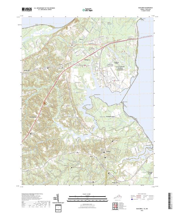 2022 Dahlgren2022 Print · USGSThe Potomac shoreline at the Maryland-Virginia border is defined here by military history and rural community life. Genealogists can trace family names through numerous burial sites like Spy Hill Cem, Bumbrey Cem, and Little Ark Baptist Church Cem.
End of results
Showing maps 1-17 of 17
Top cities near Maple Grove
- King George historical maps
- Colonial Beach historical maps
- Dahlgren historical maps
- Cobb Island historical maps
- Dahlgren Center historical maps
- Montross historical maps
See more
Frequently asked questions
- What are the different types of historical maps available for Maple Grove?
- What is the oldest map of Maple Grove?
- Where can I purchase historical maps of Maple Grove for my home or office?
- Where can I download high-res historical maps of Maple Grove?
- Are there historical topographic maps available for Maple Grove?
- Is there historical aerial imagery available for Maple Grove?
- Where are historical maps of Maple Grove sourced from?