Old Maps of Williamsburg, Virginia for Academic Research
Study the evolution of Williamsburg with 20 high-resolution historic maps. Whether you're teaching, researching, or modeling changes in land use, these maps provide essential visual documentation of urban, environmental, and geographic change.
- Analyze long-term change: Track patterns in development, transportation, and natural features.
- Ideal for environmental or urban studies: Support academic projects with primary historical map data.
- Use in the classroom or lab: Educators and researchers rely on these maps to bring historical context to life.
These maps are a powerful tool for teaching, research, and visualizing how Williamsburg has changed over the decades.
Williamsburg, VA maps
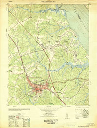
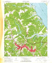
(20)- 1906 Map of Williamsburg
 1906 Williamsburg1906 Print · USGSCovers Williamsburg, including Gloucester, Rosewell Harbor, and other nearby areas6 unique versions available
 - 1907 Map of Yorktown
 1907 Yorktown1907 Print · USGSCovers Williamsburg, including Smithfield, Rushmere, and other nearby areas6 unique versions available
 - 1943 Map of Yorktown
 1943 Yorktown1943 Print · USGSCovers Williamsburg, including Smithfield, Rushmere, and other nearby areas
 - 1943 Map of Richmond, 1972 Print
 1943 Richmond1972 Print · USGSCovers Williamsburg, including Richmond, Hampton, and other nearby areas
 - 1949 Map of Richmond, 1951 Print
 1949 Richmond1951 Print · USGSCovers Williamsburg, including Richmond, Hampton, and other nearby areas
 - 1950 Map of Cobham Bay, 1953 Print
 1950 Cobham Bay1953 Print · USGSCovers Williamsburg, including Grove, Highgate, and other nearby areas
 - 1951 Map of Williamsburg
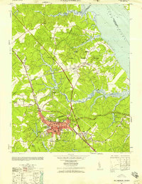
 1951 Williamsburg1951 Print · USGSCovers Williamsburg, including Oaktree, Skimino, and other nearby areas
 - 1952 Map of Williamsburg, 1957 Print
 1952 Williamsburg1957 Print · USGSCovers Williamsburg, including Oaktree, Skimino, and other nearby areas
 - 1957 Map of Cobham Bay, 1960 Print
 1957 Cobham Bay1960 Print · USGSCovers Williamsburg, including Grove, Highgate, and other nearby areas
 - 1959 Map of Richmond
 1959 Richmond1959 Print · USGSCovers Williamsburg, including Richmond, Hampton, and other nearby areas
 - 1964 Map of Richmond
 1964 Richmond1964 Print · USGSCovers Williamsburg, including Richmond, Hampton, and other nearby areas
 - 1965 Map of Hog Island, 1966 Print
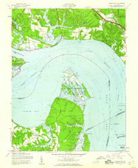
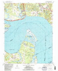
 1965 Hog Island1966 Print · USGSCovers Williamsburg, including Grove, Highgate, and other nearby areas4 unique versions available
 - 1965 Map of Williamsburg, 1966 Print
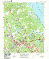
 1965 Williamsburg1966 Print · USGSCovers Williamsburg, including Oaktree, Skimino, and other nearby areas4 unique versions available
 - 1973 Map of Richmond, 1974 Print
 1973 Richmond1974 Print · USGSCovers Williamsburg, including Richmond, Hampton, and other nearby areas2 unique versions available
 - 1984 Map of Hog Island
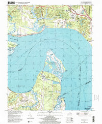
 1984 Hog Island1984 Print · USGSCovers Williamsburg, including Grove, Highgate, and other nearby areas2 unique versions available
 - 1984 Map of Williamsburg
 1984 Williamsburg1984 Print · USGSCovers Williamsburg, including Oaktree, Skimino, and other nearby areas2 unique versions available
 - 1984 Map of Williamsburg, 1985 Print
 1984 Williamsburg1985 Print · USGSCovers Williamsburg, including Hampton, Poquoson, and other nearby areas3 unique versions available
 - 1999 Map of Hog Island, 2001 Print
 1999 Hog Island2001 Print · USGSCovers Williamsburg, including Grove, Highgate, and other nearby areas
 - 2022 Map of Williamsburg, 2022 Print
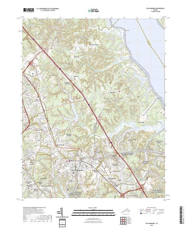 2022 Williamsburg2022 Print · USGSCovers Williamsburg, including Banbury Cross, Oaktree, and other nearby areas
 - 2022 Map of Hog Island, 2022 Print
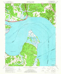
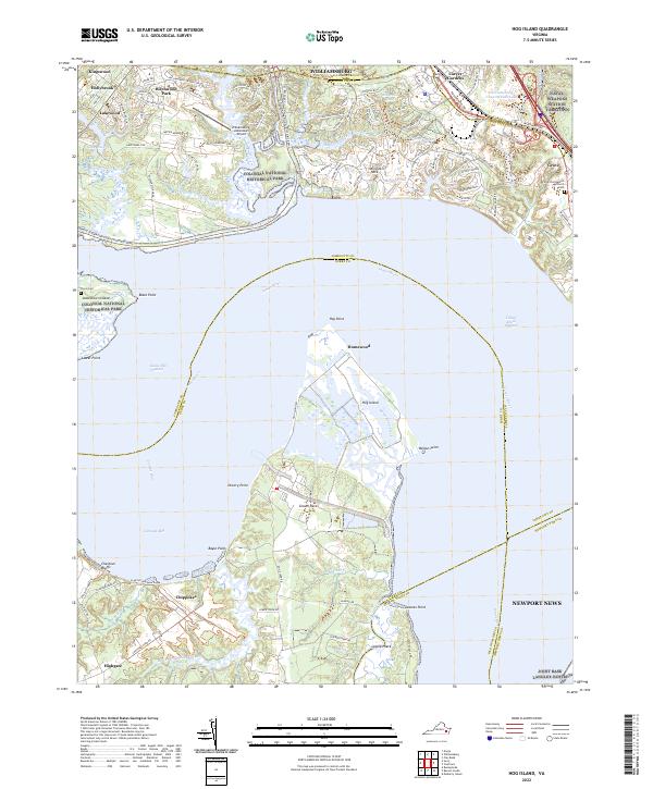 2022 Hog Island2022 Print · USGSCovers Williamsburg, including Grove, Highgate, and other nearby areas
End of results
Showing maps 1-20 of 20
Top cities of Williamsburg
Frequently asked questions
- What are the different types of historical maps available for Williamsburg?
- What is the oldest map of Williamsburg?
- Where can I purchase historical maps of Williamsburg for my home or office?
- Where can I download high-res historical maps of Williamsburg?
- Are there historical topographic maps available for Williamsburg?
- Is there historical aerial imagery available for Williamsburg?
- Where are historical maps of Williamsburg sourced from?