Old Maps of Jerry, Washington for Metal Detecting
Plan your next treasure hunt with 11 historic maps of Jerry. Find old homesites, ghost towns, trails, and gathering spots that may be lost to time — perfect for identifying promising metal detecting locations.
- Locate forgotten sites: Uncover places like long-lost settlements, abandoned rail lines, or gathering spots.
- Plan better hunts: Use map overlays combined with LiDAR or satellite views to narrow in on historically rich areas.
- Made for detectorists: Thousands of hobbyists use these maps to discover relics, coins, and hidden history.
Use these historic maps to boost your research and find new opportunities beneath the surface of Jerry.
Jerry, WA maps
(11)- 1945 Map of Clarkston, 1965 Print
 1945 Clarkston1965 Print · USGSThe Snake and Clearwater rivers meet in the mid-1940s, showing the early industrial growth of the border towns. Genealogists can trace family landmarks like Huggins Ranch and Stout Ranch or locate burials at Vineland Cem and Asotin Cem.
 - 1948 Map of Clarkston
 1948 Clarkston1948 Print · USGSSoutheast Washington and the Idaho border come alive in this post-war survey of the Snake and Clearwater river junction. Genealogists and local historians can trace family roots through sites like Vineland Cem, Huggins Ranch, and the early township of Asotin.
 - 1955 Map of Pullman, 1963 Print
 1955 Pullman1963 Print · USGSThe Palouse and Clearwater regions are captured here in the mid-1950s, showing the height of the rail-and-river economy. Genealogists and historians can trace rail lines like the Camas Prairie RR, find local landmarks like Whitman County Memorial Cem, and locate early academic centers at Washington State University and the University of Idaho.3 unique versions available
 - 1958 Map of Pullman
 1958 Pullman1958 Print · USGSThe Palouse and Clearwater regions are captured here in the late fifties, showing the vital river-and-rail connection between eastern Washington and northern Idaho. Local historians can trace the paths of the Camas Prairie RR and Union Pacific RR as they serve towns like Colfax, Kamiah, and Nezperce.2 unique versions available
 - 1971 Map of Asotin, 1974 Print
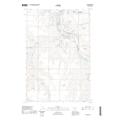
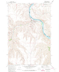 1971 Asotin1974 Print · USGSThe Snake River valley at the Washington-Idaho border shows the town of Asotin at a pivotal point of growth in the early seventies. Genealogists and local historians can trace family-named terrain like George Meyer Ridge and Maguire Gulch alongside the old settlements of Jerry and Clemens.2 unique versions available
 - 1981 Map of Clarkston
 1981 Clarkston1981 Print · USGSNorthwestern river life and mountain terrain meet in the early eighties as the Snake River carves through the landscape. Researchers can trace rail history along the Camas Prairie Railroad and locate smaller settlements like Peola and Anatone.2 unique versions available
 - 2011 Map of Asotin, 2011 Print
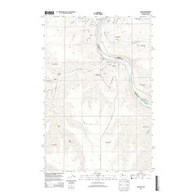
 2011 Asotin2011 Print · USGSCovers Jerry, including Lewiston, Asotin, and other nearby areas
 - 2014 Map of Asotin, 2014 Print
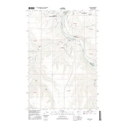
 2014 Asotin2014 Print · USGSCovers Jerry, including Lewiston, Asotin, and other nearby areas
 - 2017 Map of Asotin, 2017 Print
 2017 Asotin2017 Print · USGSCovers Jerry, including Lewiston, Asotin, and other nearby areas
 - 2020 Map of Asotin, 2020 Print
 2020 Asotin2020 Print · USGSCovers Jerry, including Lewiston, Asotin, and other nearby areas
 - 2023 Map of Asotin, 2023 Print
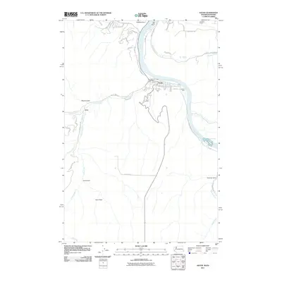
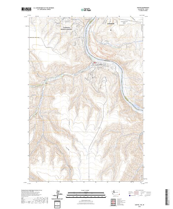 2023 Asotin2023 Print · USGSThe Snake River canyon at the Washington-Idaho border remains a vital corridor for both modern infrastructure and rugged outdoor recreation. Researchers can trace local landmarks like the Asotin County Courthouse, the Asotin City Cem, and the high reaches of Ayers Ridge.
End of results
Showing maps 1-11 of 11
Top cities near Jerry
- Lewiston historical maps
- Clarkston historical maps
- Asotin historical maps
- Genesee historical maps
- Uniontown historical maps
Frequently asked questions
- What are the different types of historical maps available for Jerry?
- What is the oldest map of Jerry?
- Where can I purchase historical maps of Jerry for my home or office?
- Where can I download high-res historical maps of Jerry?
- Are there historical topographic maps available for Jerry?
- Is there historical aerial imagery available for Jerry?
- Where are historical maps of Jerry sourced from?