Old Maps of Silcott, Washington for Academic Research
Study the evolution of Silcott with 7 high-resolution historic maps. Whether you're teaching, researching, or modeling changes in land use, these maps provide essential visual documentation of urban, environmental, and geographic change.
- Analyze long-term change: Track patterns in development, transportation, and natural features.
- Ideal for environmental or urban studies: Support academic projects with primary historical map data.
- Use in the classroom or lab: Educators and researchers rely on these maps to bring historical context to life.
These maps are a powerful tool for teaching, research, and visualizing how Silcott has changed over the decades.
Silcott, WA maps
(7)- 1945 Map of Clarkston, 1965 Print
 1945 Clarkston1965 Print · USGSThe Snake and Clearwater rivers meet in the mid-1940s, showing the early industrial growth of the border towns. Genealogists can trace family landmarks like Huggins Ranch and Stout Ranch or locate burials at Vineland Cem and Asotin Cem.
 - 1948 Map of Clarkston
 1948 Clarkston1948 Print · USGSSoutheast Washington and the Idaho border come alive in this post-war survey of the Snake and Clearwater river junction. Genealogists and local historians can trace family roots through sites like Vineland Cem, Huggins Ranch, and the early township of Asotin.
 - 1955 Map of Pullman, 1963 Print
 1955 Pullman1963 Print · USGSThe Palouse and Clearwater regions are captured here in the mid-1950s, showing the height of the rail-and-river economy. Genealogists and historians can trace rail lines like the Camas Prairie RR, find local landmarks like Whitman County Memorial Cem, and locate early academic centers at Washington State University and the University of Idaho.3 unique versions available
 - 1958 Map of Pullman
 1958 Pullman1958 Print · USGSThe Palouse and Clearwater regions are captured here in the late fifties, showing the vital river-and-rail connection between eastern Washington and northern Idaho. Local historians can trace the paths of the Camas Prairie RR and Union Pacific RR as they serve towns like Colfax, Kamiah, and Nezperce.2 unique versions available
 - 1971 Map of Silcott, 1974 Print
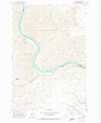 1971 Silcott1974 Print · USGSThe Snake River canyonlands come into focus in the early 1970s, showing the intersection of three Washington counties. Researchers can trace historic river crossings and early settlements like Silcott and Wilma, or locate the Indian Timothy Bridge and local Cem.
 - 1981 Map of Clarkston
 1981 Clarkston1981 Print · USGSNorthwestern river life and mountain terrain meet in the early eighties as the Snake River carves through the landscape. Researchers can trace rail history along the Camas Prairie Railroad and locate smaller settlements like Peola and Anatone.2 unique versions available
 - 2023 Map of Silcott Island, 2023 Print
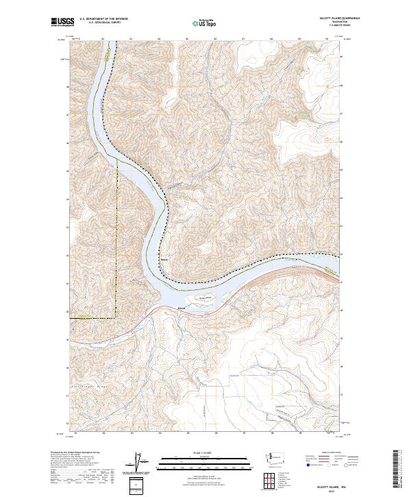 2023 Silcott Island2023 Print · USGSThe Snake River corridor in southeastern Washington remains a landscape of deep canyons and riverside outposts in the twenty-first century. Genealogists and researchers can trace the roads and ridges around Silcott, Silcott Island, and Flerchinger Ridge.
End of results
Showing maps 1-7 of 7
Top cities near Silcott
- Lewiston historical maps
- Clarkston historical maps
- Asotin historical maps
- Colton historical maps
- Uniontown historical maps
Frequently asked questions
- What are the different types of historical maps available for Silcott?
- What is the oldest map of Silcott?
- Where can I purchase historical maps of Silcott for my home or office?
- Where can I download high-res historical maps of Silcott?
- Are there historical topographic maps available for Silcott?
- Is there historical aerial imagery available for Silcott?
- Where are historical maps of Silcott sourced from?