Old Maps of Entiat, Washington
Explore 10 old maps of Entiat, spanning from 1901 to today. These high-resolution historic maps reveal how streets, neighborhoods, landmarks, and natural features evolved over time — perfect for genealogy, metal detecting, research, and local history exploration.
What you can do with these maps:
- See how Entiat changed over time: Compare historical maps to modern-day views to trace roads, homesites, rail lines & more.
- View detailed metadata: Each map includes creators, publishers, year, scale, and archive source.
- Overlay maps with satellite & LiDAR: Visualize the past alongside modern tools to explore terrain & human change.
- Trusted historical sources: Maps sourced from the USGS, Library of Congress, and other archives.
- Access maps your way: View online, download high-res files, or order prints for personal or research use.
Start exploring old maps of Entiat to uncover forgotten places, hidden landmarks, and the deep history beneath your feet.
Entiat, WA maps
(10)- 1901 Map of Chelan
 1901 Chelan1901 Print · USGSNorth Central Washington is captured at the dawn of the twentieth century, showing the early development of the lake and river valleys. Researchers can trace the original Wapato Indian Reservation boundary and locate early townsites like Lakeside and Waterville.6 unique versions available
 - 1957 Map of Wenatchee, 1973 Print
 1957 Wenatchee1973 Print · USGSThe northern Cascades and Columbia River valley appear here in the mid-fifties, showing the region's critical rail and transit corridors. Researchers can trace the routes of the Great Northern RR and Milwaukee Road through settlements like Skykomish, Baring, and Dryden.2 unique versions available
 - 1968 Map of Entiat, 1972 Print
 1968 Entiat1972 Print · USGSThe Columbia River valley underwent significant change by the late sixties as hydroelectric development reshaped the shoreline. Genealogists and historians can trace the foundations of Entiat and Orondo, locating family landmarks like the Orondo Community Cemetery, the Orondo School, and Brays Landing.2 unique versions available
 - 1975 Map of Chelan, 1977 Print
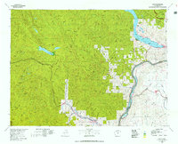 1975 Chelan1977 Print · USGSThe northern Cascades meet the Columbia River in the mid-seventies, showing the deep glacial valleys and high plateaus of central Washington. Trace the legacy of mountain railroading through Tumwater Canyon and explore the lakeshore communities of Manson and Lakeside.2 unique versions available
 - 2003 Map of Entiat, 2006 Print
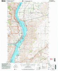 2003 Entiat2006 Print · USGSThe Columbia River corridor in the early 2000s reveals a landscape of orchard communities and rugged river breaks. Genealogists and local historians can locate the Orondo School, Brays Landing Cemetery, and landmarks like the Grange Hall in Orondo.
 - 2011 Map of Entiat, 2011 Print
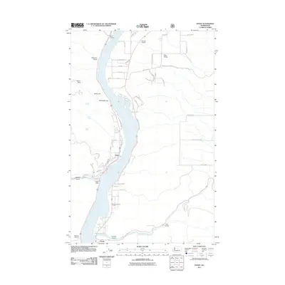 2011 Entiat2011 Print · USGSThe Columbia River corridor near the beginning of the twenty-first century reveals a landscape of orchard roads and riverside settlements. Researchers can trace family history at the Brays Landing Cemetery or explore the geographic reach of the Entiat Ditch and Ribbon Cliff.
 - 2014 Map of Entiat, 2014 Print
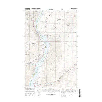 2014 Entiat2014 Print · USGSThe Columbia River corridor near the Wenatchee foothills comes into focus in this early twenty-first-century survey. Genealogists and local historians can trace family roots at Brays Landing Cem, explore the streets of Entiat, or locate landmarks like Ribbon Cliff.
 - 2017 Map of Entiat, 2017 Print
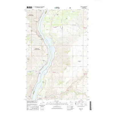 2017 Entiat2017 Print · USGSThe Columbia River corridor near the Entiat River confluence is documented here during the late twenty-tens. Researchers can trace local history through the Brays Landing Cem, the orchards around Orondo, and the rugged landmarks of Ribbon Mesa.
 - 2020 Map of Entiat, 2020 Print
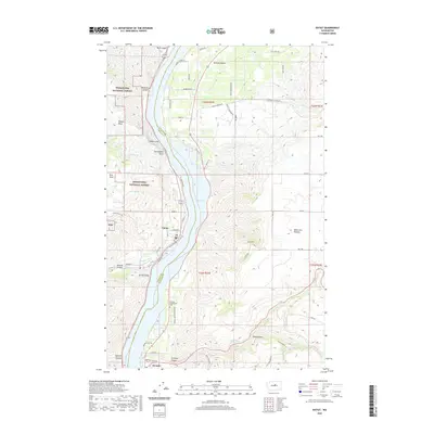 2020 Entiat2020 Print · USGSThe Columbia River corridor near Entiat and Orondo is shown in detail at the start of the 2020s. Genealogists and researchers can trace local landmarks like the Orondo Community Cem, Ribbon Cliff, and the high reaches of the Waterville Plateau.
 - 2023 Map of Entiat, 2023 Print
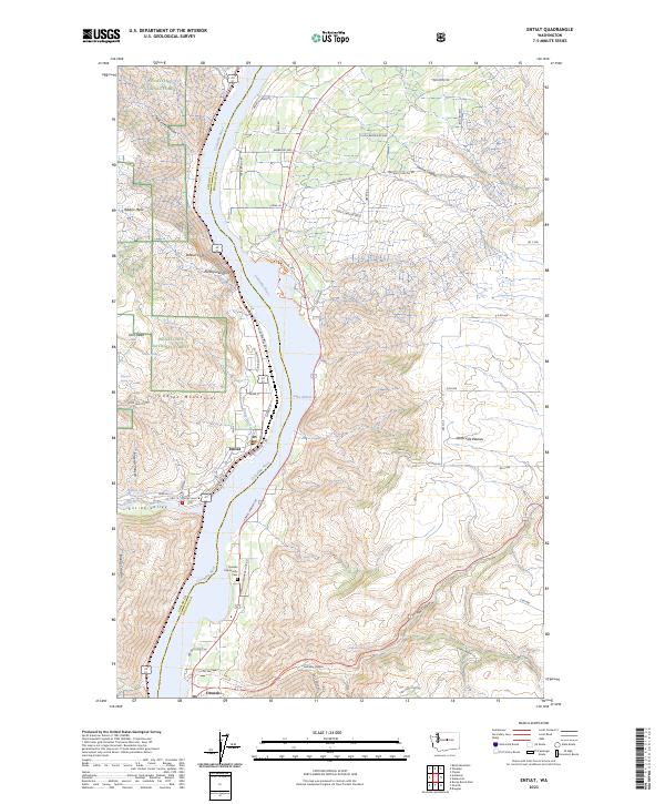 2023 Entiat2023 Print · USGSThe Columbia River separates the Wenatchee National Forest from the Waterville Plateau in this modern survey. Genealogists and historians can locate Entiat and Orondo, and trace landmarks like the Orondo Community Cem and Ribbon Cliff.
End of results
Showing maps 1-10 of 10
Top cities near Entiat
Frequently asked questions
- What are the different types of historical maps available for Entiat?
- What is the oldest map of Entiat?
- Where can I purchase historical maps of Entiat for my home or office?
- Where can I download high-res historical maps of Entiat?
- Are there historical topographic maps available for Entiat?
- Is there historical aerial imagery available for Entiat?
- Where are historical maps of Entiat sourced from?