2000s (21st Century) Maps of US Coast Guard Reservation, Washington
Explore 2 historic maps of US Coast Guard Reservation from the 2000s (21st Century). These maps offer a rare glimpse into what life looked like during the 2000s — showing old roads, neighborhoods, homes, and landmarks that have changed or disappeared over time.
Whether you're researching your family's past, planning a metal detecting trip, or studying how US Coast Guard Reservation's landscape evolved across the 2000s, these high-resolution maps are a powerful tool for exploring the history of this region.
- Focus on a specific era: All maps on this page are from the 2000s, giving you a focused view of this time period.
- See what’s changed: Compare century-old streets, trails, and buildings to today's modern landscape using overlays and satellite layers.
- Research with precision: Use these maps for genealogy, historical research, land use analysis, or educational projects.
- View, download, or print: Maps are fully viewable online in high resolution, and can be downloaded or printed for your own records.
Start exploring US Coast Guard Reservation's history through authentic maps from the 2000s. This is your window into the past.
US Coast Guard Reservation, WA maps
(2)- 2023 Map of Slip Point, 2023 Print
 2023 Slip Point2023 Print · USGSCoastal Clallam County meets the Salish Sea in this modern survey of the Olympic Peninsula's northern shore. Maritime researchers and local historians can trace the contemporary shoreline and the land boundaries of T32N R12W as they appear today.
 - 2023 Map of Clallam Bay, 2023 Print
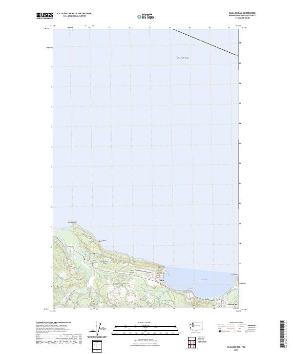 2023 Clallam Bay2023 Print · USGSThe Olympic Peninsula shoreline comes into focus in this contemporary survey of the coast along the Salish Sea. Researchers can trace the coastal developments of Sekiu and Clallam Bay, or locate landmarks like Sekiu Airport and Slip Point.
End of results
Showing maps 1-2 of 2
Top cities near US Coast Guard Reservation
Frequently asked questions
- What are the different types of historical maps available for US Coast Guard Reservation?
- What is the oldest map of US Coast Guard Reservation?
- Where can I purchase historical maps of US Coast Guard Reservation for my home or office?
- Where can I download high-res historical maps of US Coast Guard Reservation?
- Are there historical topographic maps available for US Coast Guard Reservation?
- Is there historical aerial imagery available for US Coast Guard Reservation?
- Where are historical maps of US Coast Guard Reservation sourced from?