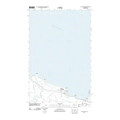
2011 Map of Clallam Bay
USGS Topo · Published 2011About this map
Clallam Bay and Sekiu serve as the primary coastal hubs along the Strait of Juan de Fuca on the northern Olympic Peninsula. This maritime landscape is defined by its series of distinct coastal markers, from Kydaka Point in the west to the navigational anchor at Slip Point Lighthouse in the east. The map captures the vital convergence of inland waterways and the sea, tracing the paths of the Hoko River and Little Hoko River as they reach the coastline near the small settlement of Hoko.
Find a feature on this map
29 named features on this map. Tap any name to fly to it.
Don’t see what you’re looking for? This feature index may not catch every label — zoom into the map to look around manually.
Map Details
Editions of this 2011 Clallam Bay Map
This is the sole edition of this map. No revisions or reprints were ever made.
Other maps of this area

1922 · Pysht
USGS Topo · 1:62,500

1935 · Clallam
USGS Topo · 1:62,500

1935 · Lake Pleasant
USGS Topo · 1:62,500

1942 · Pysht
USGS Topo · 1:62,500

1942 · Clallam
USGS Topo · 1:62,500

1942 · Lake Pleasant
USGS Topo · 1:62,500

1953 · Cape Flattery
USGS Topo · 1:250,000

1957 · Lake Pleasant
USGS Topo · 1:62,500
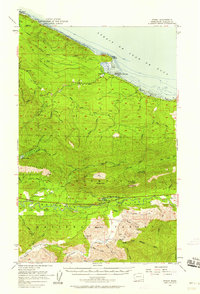
1957 · Pysht
USGS Topo · 1:62,500
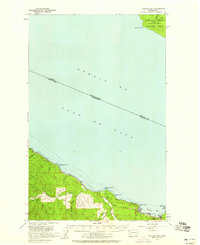
1957 · Clallam Bay
USGS Topo · 1:62,500