Old Maps of Washougal River, Clark County for Hiking & Exploration
Hike through history with 27 historic maps of Washougal River. Explore old trails, ghost towns, and forgotten backroads — perfect for outdoor adventurers and local explorers.
- Rediscover forgotten places: Map out old mining camps, roads, and footpaths that no longer exist on modern maps.
- Layer with modern tools: Combine with LiDAR or satellite views to plan hikes through historical terrain.
- Made for exploration: Popular among hikers, overlanders, and local history lovers.
Use these maps to find adventure and explore the hidden past of Washougal River.
Washougal River, Clark County maps
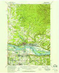
(27)- 1918 Map of Troutdale
 1918 Troutdale1918 Print · USGSCovers Washougal River, including Portland, Vancouver, and other nearby areas2 unique versions available
 - 1934 Map of Troutdale
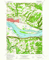
 1934 Troutdale1934 Print · USGSCovers Washougal River, including Portland, Vancouver, and other nearby areas
 - 1941 Map of Camas
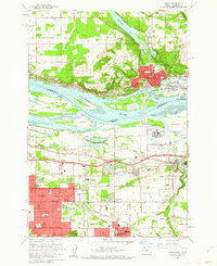
 1941 Camas1941 Print · USGSCovers Washougal River, including Portland, Vancouver, and other nearby areas
 - 1942 Map of Camas
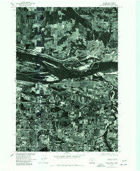
 1942 Camas1942 Print · USGSCovers Washougal River, including Portland, Vancouver, and other nearby areas2 unique versions available
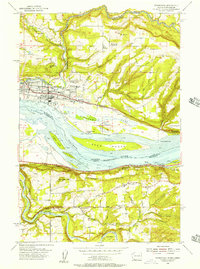
 - 1948 Map of Vancouver, 1957 Print
 1948 Vancouver1957 Print · USGSCovers Washougal River, including Portland, Vancouver, and other nearby areas
 - 1950 Map of Vancouver
 1950 Vancouver1950 Print · USGSCovers Washougal River, including Portland, Vancouver, and other nearby areas
 - 1950 Map of Vancouver, 1951 Print
 1950 Vancouver1951 Print · USGSCovers Washougal River, including Portland, Vancouver, and other nearby areas
 - 1954 Map of Lacamas Creek, 1956 Print
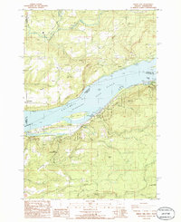
 1954 Lacamas Creek1956 Print · USGSCovers Washougal River, including Vancouver, Camas, and other nearby areas4 unique versions available
 - 1954 Map of Washougal, 1957 Print
 1954 Washougal1957 Print · USGSCovers Washougal River, including Camas, Springdale, and other nearby areas
 - 1954 Map of Camas, 1957 Print
 1954 Camas1957 Print · USGSCovers Washougal River, including Portland, Vancouver, and other nearby areas
 - 1954 Map of Bridal Veil, 1958 Print
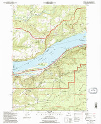
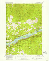 1954 Bridal Veil1958 Print · USGSCovers Washougal River, including North Bonneville, Warrendale, and other nearby areas4 unique versions available
 - 1954 Map of Camas, 1958 Print
 1954 Camas1958 Print · USGSCovers Washougal River, including Portland, Vancouver, and other nearby areas3 unique versions available
 - 1958 Map of Vancouver, 1968 Print
 1958 Vancouver1968 Print · USGSCovers Washougal River, including Portland, Vancouver, and other nearby areas3 unique versions available
 - 1961 Map of Washougal
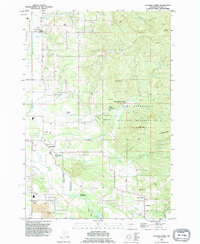
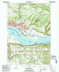
 1961 Washougal1961 Print · USGSCovers Washougal River, including Camas, Springdale, and other nearby areas4 unique versions available
 - 1961 Map of Camas, 1962 Print
 1961 Camas1962 Print · USGSCovers Washougal River, including Portland, Vancouver, and other nearby areas3 unique versions available
 - 1964 Map of Vancouver
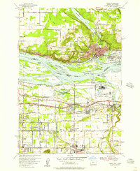
 1964 Vancouver1964 Print · USGSCovers Washougal River, including Portland, Vancouver, and other nearby areas
 - 1975 Map of Camas, 1977 Print
 1975 Camas1977 Print · USGSCovers Washougal River, including Portland, Vancouver, and other nearby areas
 - 1979 Map of Vancouver, 1980 Print
 1979 Vancouver1980 Print · USGSCovers Washougal River, including Portland, Vancouver, and other nearby areas2 unique versions available
 - 1986 Map of Bobs Mountain
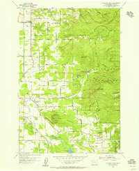
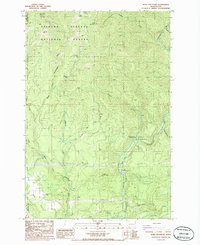 1986 Bobs Mountain1986 Print · USGSCovers Washougal River, including Clark County, Skamania County, and other nearby areas2 unique versions available
 - 1986 Map of Bridal Veil
 1986 Bridal Veil1986 Print · USGSCovers Washougal River, including Prindle, Latourell, and other nearby areas2 unique versions available
 - 1986 Map of Larch Mtn
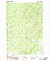 1986 Larch Mtn1986 Print · USGSCovers Washougal River, including Ireland, Creswell Heights, and other nearby areas2 unique versions available
 - 1990 Map of Lacamas Creek, 1995 Print
 1990 Lacamas Creek1995 Print · USGSCovers Washougal River, including Vancouver, Camas, and other nearby areas
 - 1993 Map of Camas, 1996 Print
 1993 Camas1996 Print · USGSCovers Washougal River, including Portland, Vancouver, and other nearby areas
 - 1994 Map of Bridal Veil, 1996 Print
 1994 Bridal Veil1996 Print · USGSCovers Washougal River, including Prindle, Latourell, and other nearby areas
 - 1994 Map of Washougal, 1996 Print
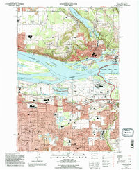
 1994 Washougal1996 Print · USGSCovers Washougal River, including Camas, Springdale, and other nearby areas
Showing maps 1-25 of 27
Frequently asked questions
- What are the different types of historical maps available for Washougal River?
- What is the oldest map of Washougal River?
- Where can I purchase historical maps of Washougal River for my home or office?
- Where can I download high-res historical maps of Washougal River?
- Are there historical topographic maps available for Washougal River?
- Is there historical aerial imagery available for Washougal River?
- Where are historical maps of Washougal River sourced from?