Old Maps of Sandy Bend, Washington for Academic Research
Study the evolution of Sandy Bend with 12 high-resolution historic maps. Whether you're teaching, researching, or modeling changes in land use, these maps provide essential visual documentation of urban, environmental, and geographic change.
- Analyze long-term change: Track patterns in development, transportation, and natural features.
- Ideal for environmental or urban studies: Support academic projects with primary historical map data.
- Use in the classroom or lab: Educators and researchers rely on these maps to bring historical context to life.
These maps are a powerful tool for teaching, research, and visualizing how Sandy Bend has changed over the decades.
Sandy Bend, WA maps
(12)- 1921 Map of Kalama
 1921 Kalama1921 Print · USGSThe Columbia River corridor is captured here in the early twenties, showing the vital rail and road networks connecting Washington and Oregon. Genealogists and historians can locate riverside settlements like Carrolls PO, industrial landmarks like the Ostrander Tunnel, and early routes like the Pacific Highway.
 - 1953 Map of Hoquiam
 1953 Hoquiam1953 Print · USGSSouthwest Washington in the early fifties shows a landscape shaped by timber, rail, and river commerce from the coast to the Cascades. Genealogists and historians can trace the development of timber towns like Ryderwood and the industrial hubs of Hoquiam and Kelso.2 unique versions available
 - 1953 Map of Kelso, 1955 Print
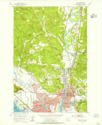 1953 Kelso1955 Print · USGSThe industrial corridor of the Cowlitz and Columbia rivers comes alive in the mid-1950s, showing the early development of the Longview-Kelso area. Researchers can trace the layout of local institutions like R A Long HS or find rural landmarks like Sandy Bend School and Huntington Rock.3 unique versions available
 - 1957 Map of Hoquiam
 1957 Hoquiam1957 Print · USGSCoastal timber ports and inland rail hubs define Southwest Washington during the late fifties. Genealogists can trace early twentieth-century settlements like Bordeaux, Tono, and Cosmopolis alongside the expanding tracks of the Northern Pacific.
 - 1958 Map of Hoquiam, 1969 Print
 1958 Hoquiam1969 Print · USGSSouthwest Washington and the Columbia River estuary appear here in the mid-century, before major landscape shifts. Researchers can trace the rail lines of the Northern Pacific, locate the Fort Henness Site, or explore the Naselle Air Force Station.2 unique versions available
 - 1962 Map of Hoquiam
 1962 Hoquiam1962 Print · USGSSouthwest Washington in the late fifties is defined by the bustling timber ports of Hoquiam and the rail-linked commerce of the interior valleys. Genealogists and historians can trace the early footprints of settlements like Raymond and Pe Ell, or locate family sites at Grand Mound Cem and Odd Fellows Cem.
 - 1990 Map of Kelso, 1995 Print
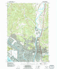 1990 Kelso1995 Print · USGSThe industrial and riverfront centers of the Pacific Northwest are captured in the 1990s as the cities grew around the Cowlitz River. Genealogists and historians can trace neighborhood development near Lower Columbia College and locate old settlements like Ostrander and Pleasant Hill.
 - 2011 Map of Kelso, 2011 Print
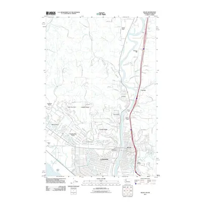 2011 Kelso2011 Print · USGSThe sister cities of Kelso and Longview are shown in detail during their early 21st-century development alongside the Cowlitz River. Researchers can trace residential growth in Columbia Valley Gardens or locate landmarks like Lake Sacajawea and Mount Solo.
 - 2013 Map of Kelso, 2013 Print
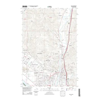 2013 Kelso2013 Print · USGSThe riverfront cities of Longview and Kelso are shown here in the early twenty-first century as established industrial and residential hubs. Researchers can trace neighborhood growth through Columbia Valley Gardens or locate family landmarks near Lake Sacajawea and Mt Solo.
 - 2017 Map of Kelso, 2017 Print
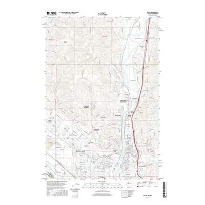 2017 Kelso2017 Print · USGSThe riverfront cities of Kelso and Longview are captured in 2017, showcasing their complex industrial waterfronts and hillside neighborhoods. Researchers can trace the development of Lower Columbia Coll, the curving banks of Lake Sacajawea, and local landmarks like Huntington Rock.
 - 2020 Map of Kelso, 2020 Print
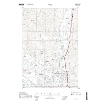 2020 Kelso2020 Print · USGSThe industrial and civic centers of Longview and Kelso are documented here at the height of their modern development. Researchers can trace the layout of Lake Sacajawea Park, locate the Cowlitz County Hall of Justice, and find local institutions like Kelso High School.
 - 2023 Map of Kelso, 2023 Print
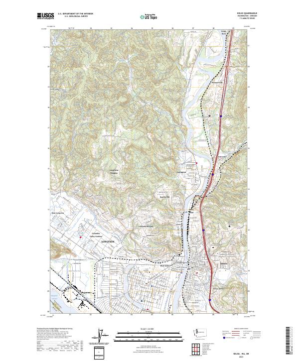 2023 Kelso2023 Print · USGSThe riverfront cities of Kelso and Longview are documented in this contemporary survey of Cowlitz County. Local researchers can pinpoint specific sites such as Lower Columbia College, Stockport Cem, and the residential neighborhoods of Beacon Hill or Davis Terrace.
End of results
Showing maps 1-12 of 12
Top cities near Sandy Bend
- Longview historical maps
- Kelso historical maps
- Kalama historical maps
- Castle Rock historical maps
- Rainier historical maps
- Toledo historical maps
See more
Frequently asked questions
- What are the different types of historical maps available for Sandy Bend?
- What is the oldest map of Sandy Bend?
- Where can I purchase historical maps of Sandy Bend for my home or office?
- Where can I download high-res historical maps of Sandy Bend?
- Are there historical topographic maps available for Sandy Bend?
- Is there historical aerial imagery available for Sandy Bend?
- Where are historical maps of Sandy Bend sourced from?