Old Maps of West Fork, Washington for Academic Research
Study the evolution of West Fork with 11 high-resolution historic maps. Whether you're teaching, researching, or modeling changes in land use, these maps provide essential visual documentation of urban, environmental, and geographic change.
- Analyze long-term change: Track patterns in development, transportation, and natural features.
- Ideal for environmental or urban studies: Support academic projects with primary historical map data.
- Use in the classroom or lab: Educators and researchers rely on these maps to bring historical context to life.
These maps are a powerful tool for teaching, research, and visualizing how West Fork has changed over the decades.
West Fork, WA maps
(11)- 1953 Map of Bald Knob, 1955 Print
 1953 Bald Knob1955 Print · USGSThe Okanogan highlands in the early 1950s show a landscape of tribal lands and national forests at the peak of the fire lookout era. Genealogists and historians can trace the Colville Indian Reservation boundaries and find remote sites like Bungalow Mine or Owhi Lake.3 unique versions available
 - 1954 Map of Okanogan, 1964 Print
 1954 Okanogan1964 Print · USGSNorth Central Washington’s interior comes into focus during the mid-fifties, showing the rise of the Columbia River reservoir system. Genealogists and historians can trace the Great Northern rail line and locate historical mining operations at the Mountain Lion Mine or Gold Hill Mine.2 unique versions available
 - 1958 Map of Okanogan
 1958 Okanogan1958 Print · USGSThe Okanogan River valley and the Colville Indian Reservation are shown here in the late fifties, during a period of established river and rail commerce. Researchers can trace the Great Northern line through Oroville or locate landmarks like the Knowlton School and Orient Ranger Station.
 - 1984 Map of Nespelem
 1984 Nespelem1984 Print · USGSThe Colville Indian Reservation and the Columbia River valley are shown here in the mid-1980s, just as modern recreation was shaping the landscape. Genealogists and researchers can locate old communities like Inchelium and Keller or trace mining history at the Germania Mine.
 - 1989 Map of Bald Knob
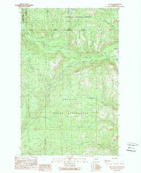 1989 Bald Knob1989 Print · USGSThe high country of Ferry County during the late 1980s reveals a landscape where national forest boundaries meet the Colville Indian Reservation. Trace the mineral history of the region through the Bungalow Mine and landmarks like Bald Knob.2 unique versions available
 - 1992 Map of Bald Knob, 1996 Print
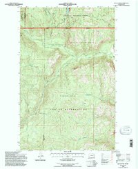 1992 Bald Knob1996 Print · USGSThe Colville Indian Reservation and surrounding national forest land are shown here in the early 1990s. Trace old mining operations like the Bungalow Mine and remote Prospects near the summit of Bald Knob.
 - 2011 Map of Bald Knob, 2011 Print
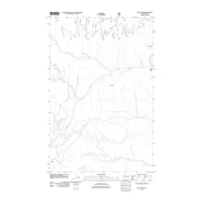 2011 Bald Knob2011 Print · USGSFerry County, Washington, is captured here in the early twenty-first century as a landscape of tribal lands and mountain waterways. Researchers can trace the junction of the West Fork Sanpoil River near West Fork or locate the historic Bungalow Mine and Long Lake Campground.
 - 2014 Map of Bald Knob, 2014 Print
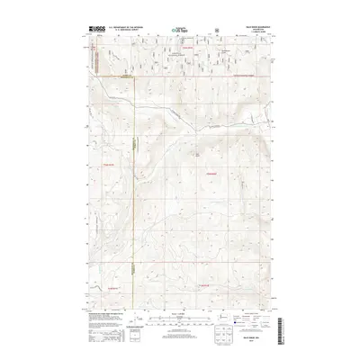 2014 Bald Knob2014 Print · USGSThe Okanogan and Colville National Forests meet at the Ferry County line in this 2014 survey of the Sanpoil River headwaters. Genealogists and researchers can trace boundary lines and access roads like BIA 64 Rd near Long Lake Campground and Bald Knob.
 - 2017 Map of Bald Knob, 2017 Print
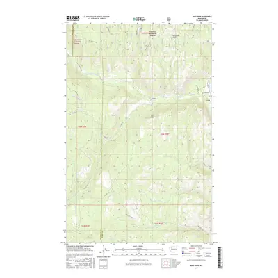 2017 Bald Knob2017 Print · USGSIn the highlands of Ferry County, this 2017 study details the forested convergence of the W Fork Sanpoil River and Sanpoil River. Genealogists and outdoorsmen can trace routes through Okanogan National Forest, locating local landmarks like Bald Knob and Cold Spring.
 - 2020 Map of Bald Knob, 2020 Print
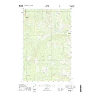 2020 Bald Knob2020 Print · USGSFerry County’s highland forests and river forks are captured here in the contemporary era. Researchers can trace the network of Bureau of Indian Affairs roads connecting West Fork to the high points of Bald Knob and the waters of the W Fork Sanpoil River.
 - 2023 Map of Bald Knob, 2023 Print
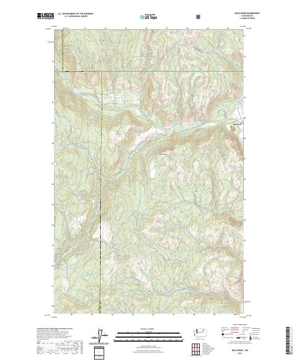 2023 Bald Knob2023 Print · USGSThe high country of Ferry County is captured here in the early twenty-first century, showing the transition between two national forests. Researchers can trace the West Fork Sanpoil River past the settlement of West Fork and up toward the prominent peak of Bald Knob.
End of results
Showing maps 1-11 of 11
Top cities near West Fork
Frequently asked questions
- What are the different types of historical maps available for West Fork?
- What is the oldest map of West Fork?
- Where can I purchase historical maps of West Fork for my home or office?
- Where can I download high-res historical maps of West Fork?
- Are there historical topographic maps available for West Fork?
- Is there historical aerial imagery available for West Fork?
- Where are historical maps of West Fork sourced from?