Old Maps of Gould City, Washington for Academic Research
Study the evolution of Gould City with 10 high-resolution historic maps. Whether you're teaching, researching, or modeling changes in land use, these maps provide essential visual documentation of urban, environmental, and geographic change.
- Analyze long-term change: Track patterns in development, transportation, and natural features.
- Ideal for environmental or urban studies: Support academic projects with primary historical map data.
- Use in the classroom or lab: Educators and researchers rely on these maps to bring historical context to life.
These maps are a powerful tool for teaching, research, and visualizing how Gould City has changed over the decades.
Gould City, WA maps
(10)- 1950 Map of Penawawa, 1952 Print
 1950 Penawawa1952 Print · USGSIn the early 1950s, the Snake River still flowed freely past small riverside settlements and across numerous bars. Genealogists can trace family names and vanished locales such as Penawawa, Gould City, and Rice Bar along the Union Pacific line.2 unique versions available
 - 1955 Map of Pullman, 1963 Print
 1955 Pullman1963 Print · USGSThe Palouse and Clearwater regions are captured here in the mid-1950s, showing the height of the rail-and-river economy. Genealogists and historians can trace rail lines like the Camas Prairie RR, find local landmarks like Whitman County Memorial Cem, and locate early academic centers at Washington State University and the University of Idaho.3 unique versions available
 - 1958 Map of Pullman
 1958 Pullman1958 Print · USGSThe Palouse and Clearwater regions are captured here in the late fifties, showing the vital river-and-rail connection between eastern Washington and northern Idaho. Local historians can trace the paths of the Camas Prairie RR and Union Pacific RR as they serve towns like Colfax, Kamiah, and Nezperce.2 unique versions available
 - 1981 Map of Gould City
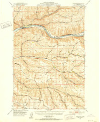
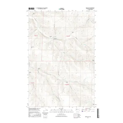
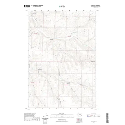
 1981 Gould City1981 Print · USGSGould City and the surrounding Garfield County uplands are shown in the early 1980s as a landscape of deep gulches and grain storage. Researchers can trace rural routes like Ben Day Road or locate family-named landmarks such as Heaton Gulch and Wild Horse Hill.
 - 1982 Map of Pullman
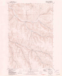
 1982 Pullman1982 Print · USGSThe Palouse region and Snake River valley are shown in the early eighties as the river navigation system matured. Trace the rail lines of the Union Pacific, locate rural centers like Johnson and Colton, and see the impact of the Lower Granite Dam.
 - 2011 Map of Gould City, 2011 Print
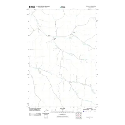 2011 Gould City2011 Print · USGSCovers Gould City, including Garfield County, United States, and other nearby areas
 - 2013 Map of Gould City, 2013 Print
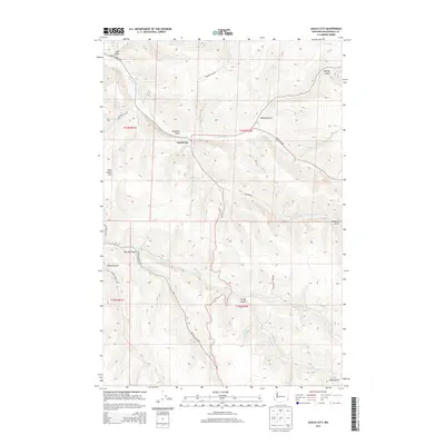 2013 Gould City2013 Print · USGSCovers Gould City, including Garfield County, United States, and other nearby areas
 - 2017 Map of Gould City, 2017 Print
 2017 Gould City2017 Print · USGSCovers Gould City, including Garfield County, United States, and other nearby areas
 - 2020 Map of Gould City, 2020 Print
 2020 Gould City2020 Print · USGSCovers Gould City, including Garfield County, United States, and other nearby areas
 - 2023 Map of Gould City, 2023 Print
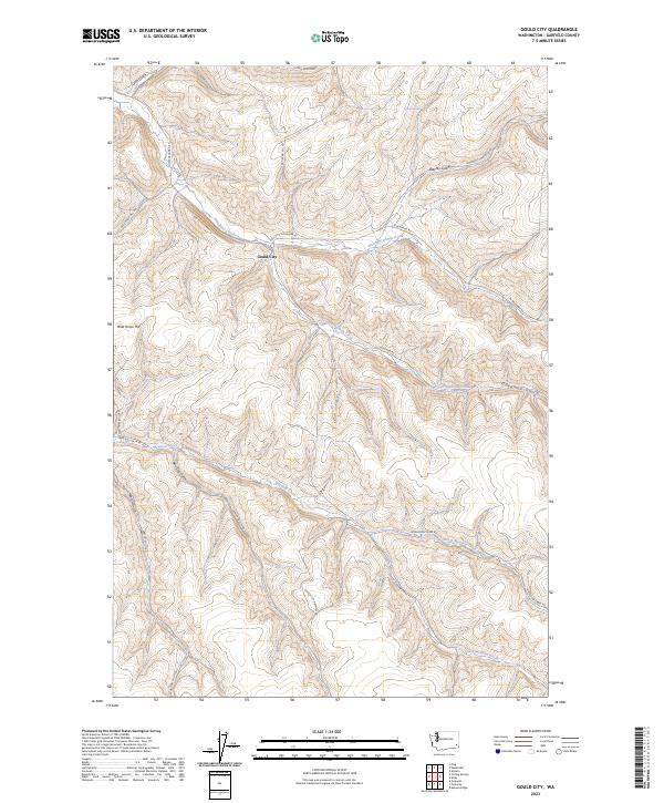 2023 Gould City2023 Print · USGSGarfield County is captured here in the early 2020s, showing a landscape defined by the deep canyons of Deadman Creek and Meadow Creek. Researchers can trace the rural road network connecting Gould City to landmarks like Wild Horse Hill and Coyote Spring.
End of results
Showing maps 1-10 of 10
Top cities near Gould City
Frequently asked questions
- What are the different types of historical maps available for Gould City?
- What is the oldest map of Gould City?
- Where can I purchase historical maps of Gould City for my home or office?
- Where can I download high-res historical maps of Gould City?
- Are there historical topographic maps available for Gould City?
- Is there historical aerial imagery available for Gould City?
- Where are historical maps of Gould City sourced from?