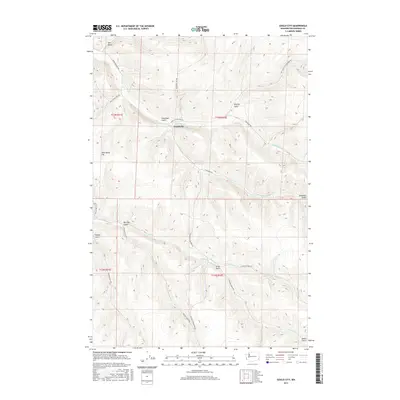
2017 Map of Gould City
USGS Topo · Published 2017About this map
Gould City occupies a central position within this Garfield County landscape, where the confluence of several branches of Deadman Cr shapes the local geography. The area is defined by a dense network of gulches and ridges, including Blachly Gulch, Smith Gulch, and Heaton Gulch, which dictate the winding paths of rural routes like Gould City-Mayview Rd and Ben Day Gulch Rd.
Find a feature on this map
30 named features on this map. Tap any name to fly to it.
Don’t see what you’re looking for? This feature index may not catch every label — zoom into the map to look around manually.
Map Details
Editions of this 2017 Gould City Map
This is the sole edition of this map. No revisions or reprints were ever made.
Other maps of this area

1910 · Pullman
USGS Topo · 1:125,000

1937 · Pomeroy
USGS Topo · 1:96,000

1942 · Pomeroy
USGS Topo · 1:125,000

1943 · Peola
USGS Topo · 1:62,500

1946 · Peola
USGS Topo · 1:62,500

1950 · Penawawa
USGS Topo · 1:62,500

1955 · Pullman
USGS Topo · 1:250,000

1958 · Pullman
USGS Topo · 1:250,000

1964 · Kirby
USGS Topo · 1:24,000
1964 · Almota
USGS Topo · 1:24,000