Old Maps of Wheeler, Washington
Explore 13 old maps of Wheeler, spanning from 1923 to today. These high-resolution historic maps reveal how streets, neighborhoods, landmarks, and natural features evolved over time — perfect for genealogy, metal detecting, research, and local history exploration.
What you can do with these maps:
- See how Wheeler changed over time: Compare historical maps to modern-day views to trace roads, homesites, rail lines & more.
- View detailed metadata: Each map includes creators, publishers, year, scale, and archive source.
- Overlay maps with satellite & LiDAR: Visualize the past alongside modern tools to explore terrain & human change.
- Trusted historical sources: Maps sourced from the USGS, Library of Congress, and other archives.
- Access maps your way: View online, download high-res files, or order prints for personal or research use.
Start exploring old maps of Wheeler to uncover forgotten places, hidden landmarks, and the deep history beneath your feet.
Wheeler, WA maps
(13)- 1923 Map of Wheeler, 1952 Print
 1923 Wheeler1952 Print · USGSThe rural landscape of central Washington comes alive in the early 1920s as a major crossroads for competing rail lines. Genealogists and historians can trace numerous remote country schoolhouses like Keller School and Plain View School alongside rail stops at Ruff and Wheeler.
 - 1925 Map of Wheeler
 1925 Wheeler1925 Print · USGSThe Grant County prairie in the mid-twenties shows a landscape dominated by the high-desert rail economy and rural education. Researchers can trace the legacy of early homesteaders through local landmarks like Wheeler School, Bassett Junction, and Nagel.
 - 1953 Map of Ritzville, 1966 Print
 1953 Ritzville1966 Print · USGSEastern Washington was undergoing a massive agricultural and industrial transformation in the mid-fifties as irrigation from the Grand Coulee Dam reached the plateau. Researchers can trace the mid-century rail network of the Great Northern and locate vital local sites like Larson Air Force Base and Odessa.3 unique versions available
 - 1956 Map of Wheeler
 1956 Wheeler1956 Print · USGSCentral Grant County is captured in the mid-fifties as the railroad and new irrigation canals transformed the desert. Trace the industrial footprint of the Sugar Beet Refinery or locate the old siding at Banks and the Cemetery near Wheeler.3 unique versions available
 - 1956 Map of Wheeler, 1960 Print
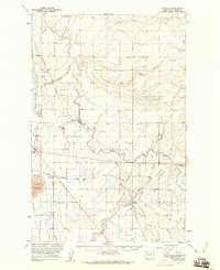 1956 Wheeler1960 Print · USGSIn the mid-1950s, the Columbia Basin landscape was being reshaped by large-scale irrigation and rail transit. Trace the growth of the region through the Sugar Refinery at Wheeler and the busy rail hub at Bassett Junction.2 unique versions available
 - 1959 Map of Ritzville
 1959 Ritzville1959 Print · USGSEastern Washington in the late fifties reveals a landscape transformed by massive irrigation projects and postwar growth. Genealogists and historians can trace rail-line communities from Ritzville to Davenport and locate landmarks like Larson Air Force Base and Telford Station.
 - 1965 Map of Ritzville
 1965 Ritzville1965 Print · USGSCentral Washington during the mid-sixties shows a landscape shaped by massive irrigation projects and the Cold War. Genealogists and historians can trace rail-town life and military presence through Ephrata Air Base, the Telford Station, and local schools.
 - 1982 Map of Moses Lake, 1983 Print
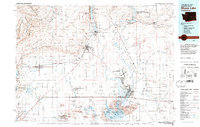 1982 Moses Lake1983 Print · USGSThe Columbia Basin during the early eighties shows a landscape transformed by large-scale irrigation and military aviation. Researchers can trace the development of Larson Air Force Base or locate vanished rail stops along the Burlington Northern near Ephrata and Quincy.2 unique versions available
 - 2011 Map of Wheeler, 2011 Print
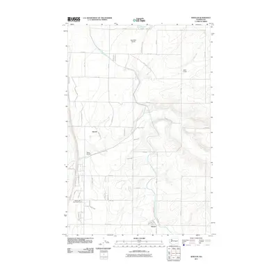 2011 Wheeler2011 Print · USGSGrant County is captured in the early 21st century as the desert landscape meets large-scale irrigation and aviation. Genealogists and local historians can trace the development of Wheeler and Mitchell or locate infrastructure like the Sand Coulee Siphon and East Low Canal.
 - 2014 Map of Wheeler, 2014 Print
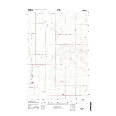 2014 Wheeler2014 Print · USGSGrant County’s agricultural heartland is captured here in the early twenty-first century, showing the intersection of natural coulees and massive irrigation projects. Researchers can trace the layout of Wheeler and Mitchell or locate the Sand Coulee Syphon and East Low Canal.
 - 2017 Map of Wheeler, 2017 Print
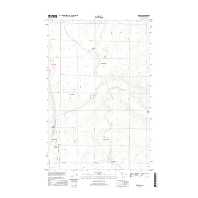 2017 Wheeler2017 Print · USGSGrant County is captured in this modern survey of the Columbia Basin, showing the intersection of irrigation engineering and rural settlements. Researchers can trace the path of the East Low Canal and locate landmarks like the Moses Lake Municipal Airport and Mitchell.
 - 2020 Map of Wheeler, 2020 Print
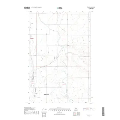 2020 Wheeler2020 Print · USGSThe Columbia Basin's irrigation network and aviation hubs take center stage in this recent study of Grant County. Researchers can trace the path of the East Low Canal and locate rural landmarks such as Mitchell, Wheeler, and the Moses Lake Municipal Airport.
 - 2023 Map of Wheeler, 2023 Print
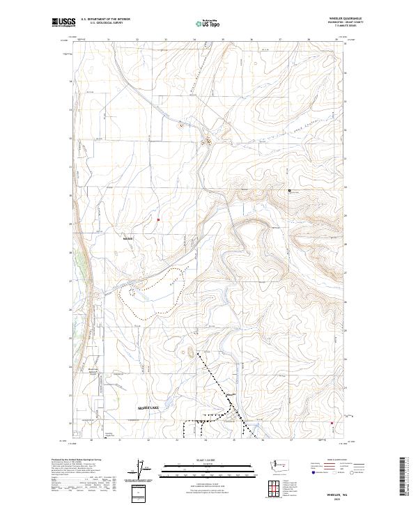 2023 Wheeler2023 Print · USGSCentral Washington's agricultural heartland comes into focus in this recent survey of Grant County near the waters of Moses Lake. Trace the development of Wheeler and Mitchell alongside irrigation features like the East Low Canal and the Rocky Coulee Wasteway.
End of results
Showing maps 1-13 of 13
Top cities near Wheeler
Frequently asked questions
- What are the different types of historical maps available for Wheeler?
- What is the oldest map of Wheeler?
- Where can I purchase historical maps of Wheeler for my home or office?
- Where can I download high-res historical maps of Wheeler?
- Are there historical topographic maps available for Wheeler?
- Is there historical aerial imagery available for Wheeler?
- Where are historical maps of Wheeler sourced from?