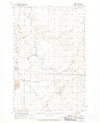
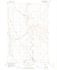
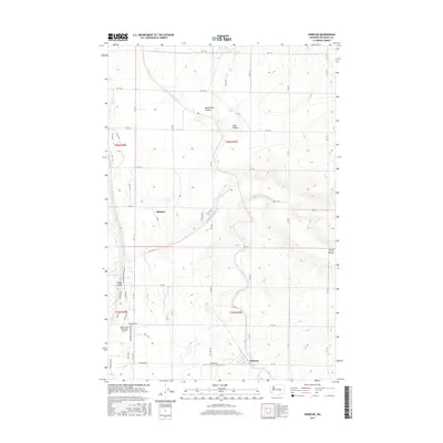
1923 Map of Wheeler
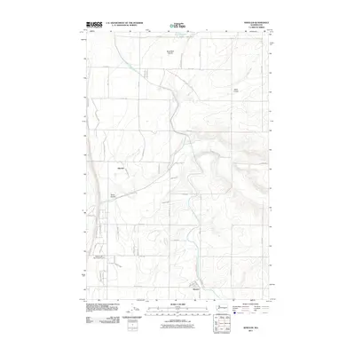
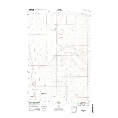
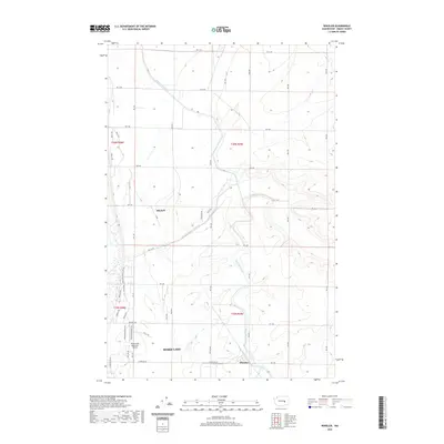
USGS Topo · Published 1952About this map
The high desert plateau of central Washington is defined here by the crossing of the Northern Pacific and the Chicago Milwaukee St Paul and Pacific railroads. Centered on the settlement of Wheeler, the landscape is etched with significant geological features like Rocky Coulee and Lind Coulee, which dictate the paths of these steel arteries. This 1923 survey reveals a highly distributed rural educational network, evidenced by numerous small schoolhouses such as Black Rock School, Zeigler School, and Loeffelbein School that served the dryland farming community. The rail-dependent economy is further emphasized by the presence of sidings and junctions like Atwood Siding, McDonald Spur, and Bassett Junction, where localized grain or livestock transport likely converged before the era of modern irrigation transformed the region.
Find a feature on this map
27 named features on this map. Tap any name to fly to it.
Don’t see what you’re looking for? This feature index may not catch every label — zoom into the map to look around manually.
Map Details
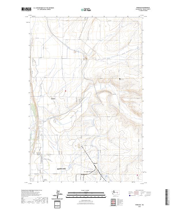
Editions of this 1923 Wheeler Map
This is the sole edition of this map. No revisions or reprints were ever made.
Historical Maps of Moses Lake Through Time
9 maps found