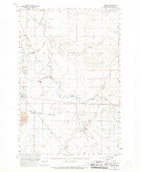
1956 Map of Wheeler
USGS Topo · Published 1968About this map
Low and East Canal irrigation infrastructure dominates this 1950s landscape, illustrating the engineering efforts that transformed the semi-arid central Washington plateau. The settlement of Wheeler serves as a central hub, accompanied by a nearby Sugar Refinery and the Moses Lake Municipal Airport, indicating the intersection of industrial processing and modern transit during this era. The terrain is defined by a network of drainage channels such as Black Rock Coulee and Rocky Coulee, which cut through the landscape alongside extensive sand dunes to the southwest.
Find a feature on this map
34 named features on this map. Tap any name to fly to it.
Don’t see what you’re looking for? This feature index may not catch every label — zoom into the map to look around manually.
Map Details
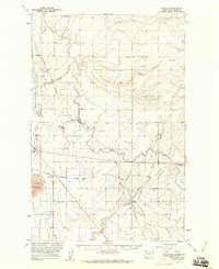
Editions of this 1956 Wheeler Map
2 editions found
Other maps of this area

1912 · Moses Lake
USGS Topo · 1:62,500

1916 · Connell
USGS Topo · 1:125,000

1918 · Connell
USGS Topo · 1:125,000

1923 · Corfu
USGS Topo · 1:62,500

1923 · Wheeler
USGS Topo · 1:62,500

1924 · Othello
USGS Topo · 1:62,500

1925 · Wheeler
USGS Topo · 1:62,500

1925 · Schrag
USGS Topo · 1:62,500

1951 · Corfu
USGS Topo · 1:62,500

1953 · Walla Walla
USGS Topo · 1:250,000