
1951 Map of Corfu
USGS Topo · Published 1951About this map
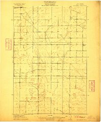
The Potholes dominate the northern landscape of this region during a pivotal moment of transformation for Central Washington. The map highlights the early stages of the Columbia Basin Project, with blue hatching indicating areas destined to be submerged by the newly constructed O'Sullivan Dam at the head of Lind Coulee. This water management infrastructure reshaped the arid terrain between the Frenchman Hills and the Saddle Mountains, providing the irrigation necessary for the developing Royal Slope and Wahluke Slope.
Find a feature on this map
20 named features on this map. Tap any name to fly to it.
Don’t see what you’re looking for? This feature index may not catch every label — zoom into the map to look around manually.
Map Details
Editions of this 1951 Corfu Map
This is the sole edition of this map. No revisions or reprints were ever made.
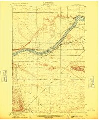
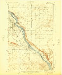
Other maps of this area
1910 · Winchester
USGS Topo · 1:62,500

1911 · Red Rock
USGS Topo · 1:62,500
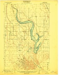
1912 · Moses Lake
USGS Topo · 1:62,500
1916 · Coyote Rapids
USGS Topo · 1:62,500

1923 · Corfu
USGS Topo · 1:62,500

1923 · Wheeler
USGS Topo · 1:62,500

1924 · Othello
USGS Topo · 1:62,500
1924 · Hanford
USGS Topo · 1:62,500

1925 · Wheeler
USGS Topo · 1:62,500

1925 · Scooteney Lake
USGS Topo · 1:62,500