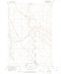
1956 Map of Wheeler
USGS Topo · Published 1975About this map
Agricultural development and massive irrigation infrastructure define this Grant County landscape during the mid-1950s. The settlement of Wheeler serves as a local hub, anchored by industrial activity at the Sugar Beet Refinery and the presence of the Northern Pacific railroad. The map documents the engineering of the Columbia Basin Project, characterized by the East Low Canal and its complex network of siphons, wasteways, and spoil banks that cut across the natural terrain.
Find a feature on this map
21 named features on this map. Tap any name to fly to it.
Don’t see what you’re looking for? This feature index may not catch every label — zoom into the map to look around manually.
Map Details
Editions of this 1956 Wheeler Map
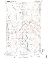
Other maps of this area

1912 · Moses Lake
USGS Topo · 1:62,500

1923 · Wheeler
USGS Topo · 1:62,500

1925 · Wheeler
USGS Topo · 1:62,500

1953 · Ritzville
USGS Topo · 1:250,000

1956 · Wheeler
USGS Topo · 1:24,000

1956 · Moses Lake South
USGS Topo · 1:24,000

1956 · Moses Lake North
USGS Topo · 1:24,000

1956 · Gloyd
USGS Topo · 1:24,000

1956 · Wilson Creek SW
USGS Topo · 1:24,000
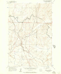
1956 · Bassett Junction
USGS Topo · 1:24,000