
1956 Map of Moses Lake North
USGS Topo · Published 1957About this map
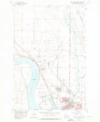
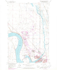
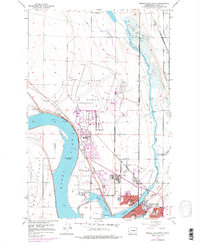
Larson Air Force Base dominates the central plateau of this mid-1950s landscape, serving as a significant Cold War military installation complete with its own Larson AFB School and extensive runway infrastructure. The geography is defined by the branching arms of the water, specifically Pelican Horn and Lewis Horn, which frame the growing residential grid of Moses Lake. This era shows the community expanding northward with new developments like Knolls Vista Sch and the County Fairgrounds.
Find a feature on this map
49 named features on this map. Tap any name to fly to it.
Don’t see what you’re looking for? This feature index may not catch every label — zoom into the map to look around manually.
Map Details
Editions of this 1956 Moses Lake North Map
4 editions found
Other maps of this area

1912 · Moses Lake
USGS Topo · 1:62,500

1923 · Wheeler
USGS Topo · 1:62,500

1925 · Wheeler
USGS Topo · 1:62,500

1953 · Ritzville
USGS Topo · 1:250,000

1956 · Wheeler
USGS Topo · 1:24,000

1956 · Moses Lake South
USGS Topo · 1:24,000

1956 · Grant Orchards
USGS Topo · 1:24,000

1956 · Gloyd
USGS Topo · 1:24,000

1956 · Wilson Creek SW
USGS Topo · 1:24,000

1956 · Mae
USGS Topo · 1:24,000