
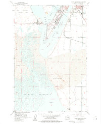
1956 Map of Moses Lake South
USGS Topo · Published 1957About this map
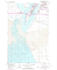
Potholes Reservoir and the intricate shoreline of Moses Lake define this central Washington landscape in the mid-1950s. The southern reaches of the lake are fragmented into distinct water bodies such as Pelican Horn and Horn, separated by landmarks like Goat Island and Galleys Island. Settlement is concentrated around the town of Westlake and the developing residential areas south of Moses Lake, where the City Boundary meets industrial features like the Sewage Disposal and several Gravel Pits. The era's transportation network is anchored by the Chicago Milwaukee St Paul and Pacific railroad, which skirts the Sand Dunes to the south. Educational infrastructure is well-represented by Chief Moses Jr H S, Midway Sch, and the Peninsula School, reflecting post-war community growth in Mae Valley before the full expansion of the Columbia Basin Project's influence reached its modern peak.
Find a feature on this map
36 named features on this map. Tap any name to fly to it.
Don’t see what you’re looking for? This feature index may not catch every label — zoom into the map to look around manually.
Map Details
Editions of this 1956 Moses Lake South Map
3 editions found
Other maps of this area

1912 · Moses Lake
USGS Topo · 1:62,500

1923 · Corfu
USGS Topo · 1:62,500

1923 · Wheeler
USGS Topo · 1:62,500

1924 · Othello
USGS Topo · 1:62,500

1925 · Wheeler
USGS Topo · 1:62,500

1951 · Corfu
USGS Topo · 1:62,500

1953 · Walla Walla
USGS Topo · 1:250,000

1953 · Ritzville
USGS Topo · 1:250,000

1954 · Soda Lake
USGS Topo · 1:24,000

1954 · Othello
USGS Topo · 1:62,500