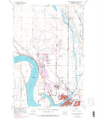
1956 Map of Moses Lake North
USGS Topo · Published 1978About this map
Larson Air Force Base dominates the northern reaches of the landscape, a massive military installation defined by its complex network of runways and tactical facilities north of the growing town. This 1956 survey, updated with 1970s revisions, illustrates a critical period of Cold War military presence alongside the emerging residential and recreational character of the Moses Lake shoreline. The town's expansion is evident through named subdivisions like Cascade Valley and institutional markers including Larson AFB School, the County Fairgrounds, and a Drive-in Theater. To the east, the waters of Crab Creek wind through the terrain near the Northern Pacific railroad tracks, while the southern portion of the map details the intricate arms of the lake, including Lewis Horn and Parker Horn. This document provides a record of the region's mid-century identity as a strategic military hub and a developing center for agriculture and commerce in Grant County.
Find a feature on this map
43 named features on this map. Tap any name to fly to it.
Don’t see what you’re looking for? This feature index may not catch every label — zoom into the map to look around manually.
Map Details
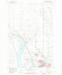
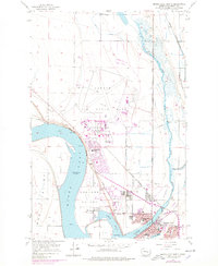
Editions of this 1956 Moses Lake North Map
4 editions found
Other maps of this area

1912 · Moses Lake
USGS Topo · 1:62,500

1923 · Wheeler
USGS Topo · 1:62,500

1925 · Wheeler
USGS Topo · 1:62,500

1953 · Ritzville
USGS Topo · 1:250,000

1956 · Wheeler
USGS Topo · 1:24,000

1956 · Moses Lake South
USGS Topo · 1:24,000

1956 · Grant Orchards
USGS Topo · 1:24,000

1956 · Moses Lake North
USGS Topo · 1:24,000

1956 · Gloyd
USGS Topo · 1:24,000

1956 · Wilson Creek SW
USGS Topo · 1:24,000